
Climb the Yorkshire Dales Mountains with Kids
Welcome to the final instalment of Nuttall bagging in the Yorkshire Dales with the Kids…
All in one year…
Yes, this is part three, if you’d like to start at the very beginning (because it’s a very good place to begin) then head to our Mountain Bagging with the Kids Part I page. In Part one I covered the first seven walks, in Part two, the next eight, now it’s time for the final seven! We began the challenge in March 2024 and having got off to a decent start, the weather towards the end of the year… well it played out pretty much as the beginning of the year did. Unsettled and blummin’ windy! You wait until we hit Wild Boar Fell. Let’s just say, it wasn’t the boar that was wild…
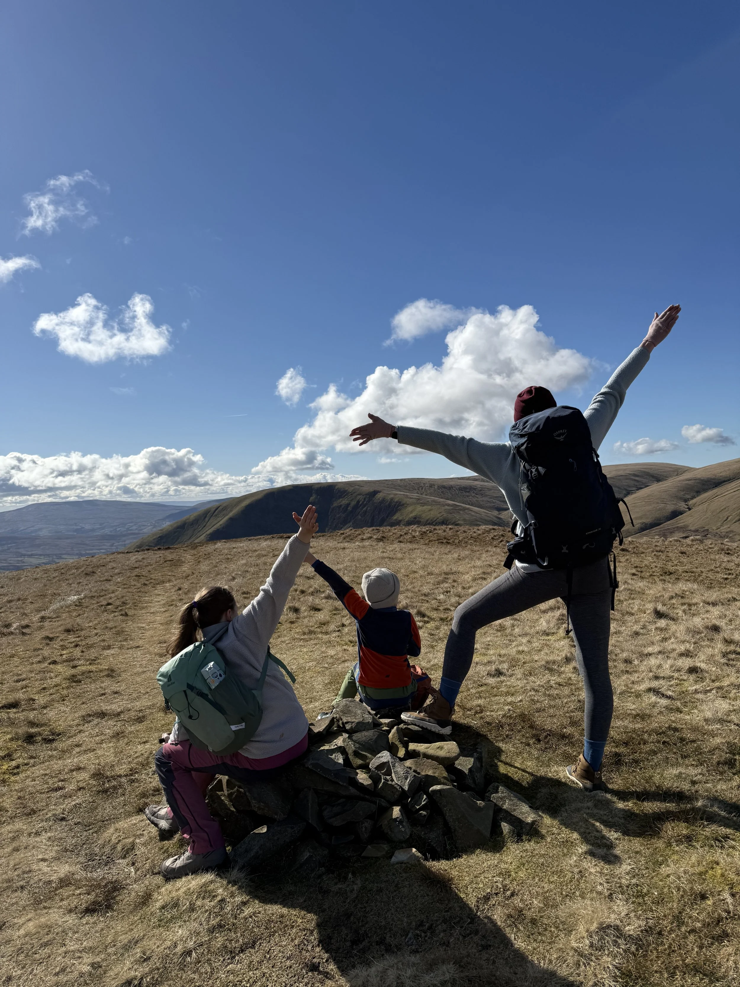
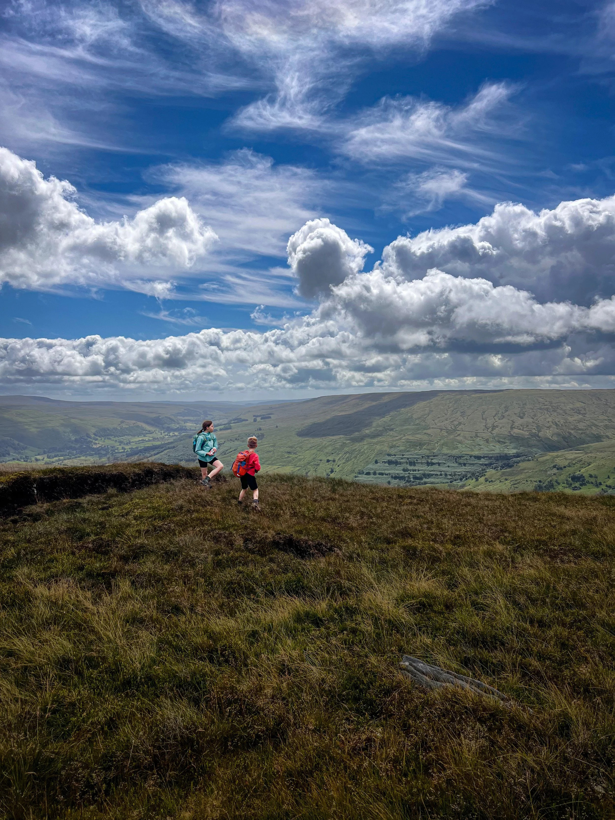
If only we’d decided to do this challenge in 2025. It would have been MUCH easier and to be honest, there would be far more blue sky pictures like the one above!! Actually, that one WAS from 2025, the year March treated us to some FINE mountain days. In fact some perfect weather days no less.
But the end of 2024? Well… let’s see how that panned out first eh?
(You can read more about the planning process on the Yorkshire Dales Mountain Challenge page)
Gragareth and Friends
16 August 2024
Gragareth, Green Hill, Great Coum, Crag Hill
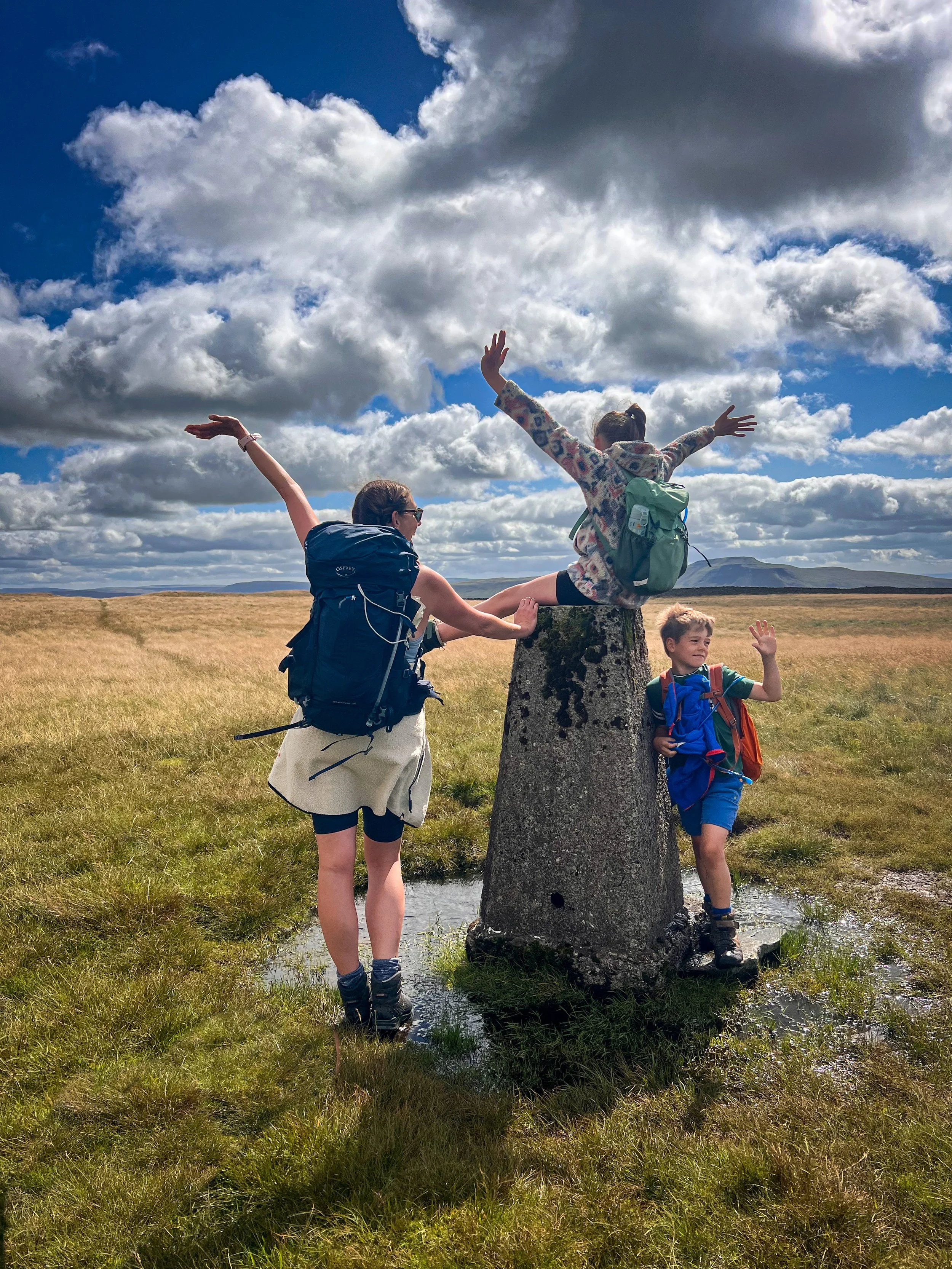
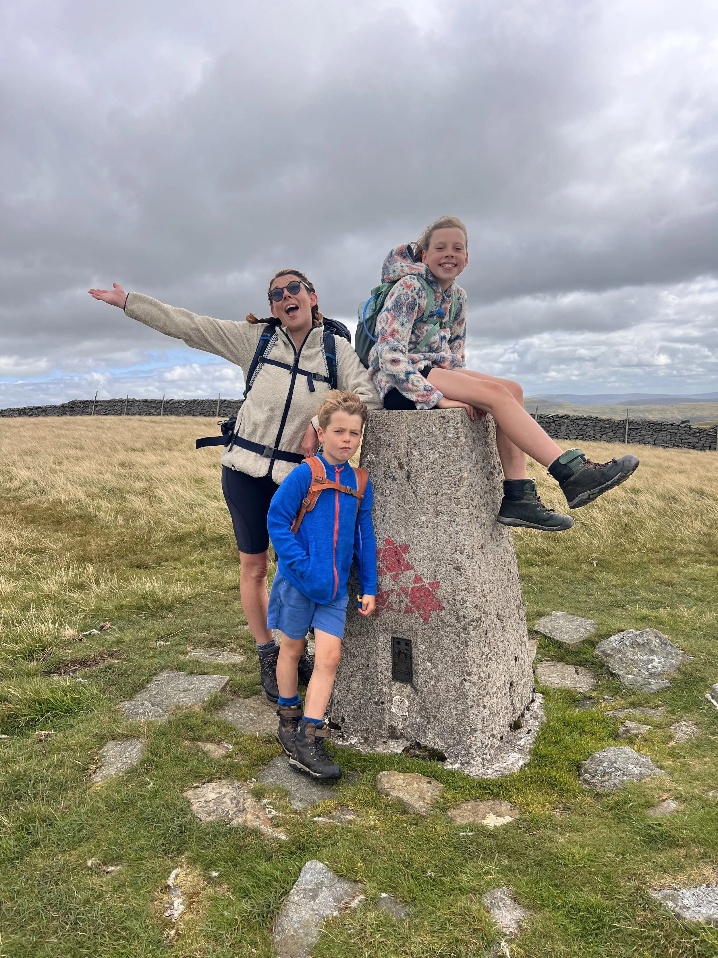
The one with two trigs
Gragareth and buddies…
The one that should be a circular. *Sigh.
Cast your mind back to the Great Shunner Fell incident with the fence and none existent path, and you’ll understand why the kids wouldn’t let me make this into a clearly obviously achievable circular. The memory was too raw! But with the WIND AGAIN, I wasn’t going to argue.
By this point in the year, I was ready for an easy life (and was sick of wind) and so, despite it actually making the walk longer, I agreed to an out and back. But never fear, this is another that we shall be revisiting to make it a properly satisfying circular (mainly because, we’ve now challenged ourselves to bag all the trigs in the Dales!)
In terms of obvious peaks, this one was a little hit and miss. Two trig points at the beginning and end made up for the ‘is that REALLY a peak?!’ moments and the views from the top of Gragareth and Crag Hill across Dentdale, towards the Howgills and Lakes and then towards Ingleborough and the three peaks were incredible.
Gragareth and Crag Hill, we SHALL be back. Green Hill and Great Coum? Only because they are literally on the route. (Harsh, but true…)
Gragareth and the Rest: The Route
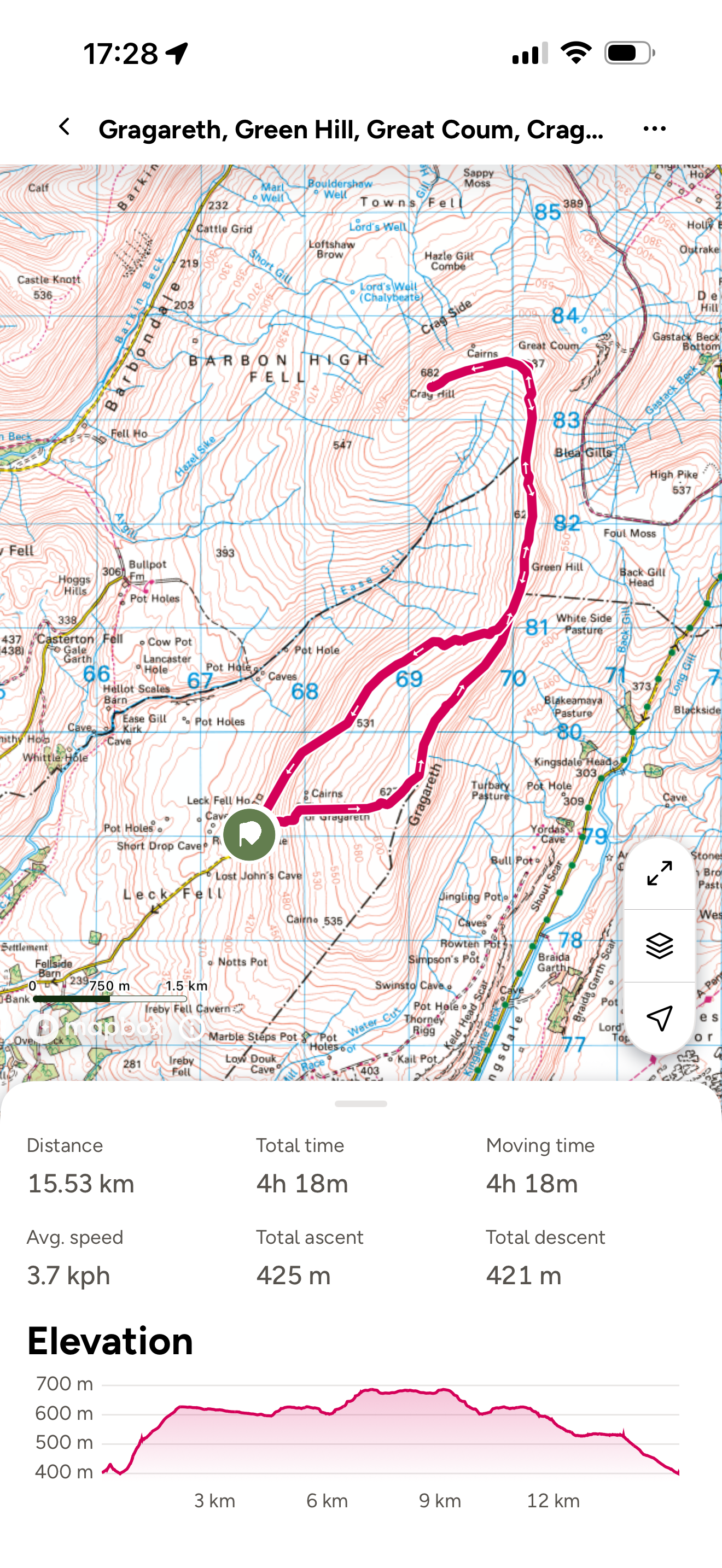
If you look at the map, you’ll see that I couldn’t resist the urge to go off piste at the end to make it a little more interesting on the return route. It was fine, tussocky, uneven and a few big old dips down into the streams. Would I repeat it? Probably not. Did it scratch a navigational itch? Yes because I am a map nerd.
Otherwise, despite there not being a public footpath, trail or bridleway on the map, there is a clear trodden route which handrails the wall more or the less the whole way. It is boggy in places, but I feel after we’ve come this far that I don’t need to mention that. EVERYWHERE is boggy in places!
ROUTE NOTES: Decent navigation skills are a must to make sure you’ve hit all the tops and safely navigate yourself around the mountains.
Image is copyright of Ordnance Survey and always carry a fully detailed OS Explorer map with you.
Gragareth and Friends Challenge Facts:
Distance Walked: 15.53km
Total time spent walking: 4 hours 18 minutes
Summit Heights: Gragareth 627m Green Hill 628m Great Coum 687m Crag Hill 682m
Total Actual Ascent: 425m
Ranked: 33rd, 32nd, 11th & 12th in the Yorkshire Dales
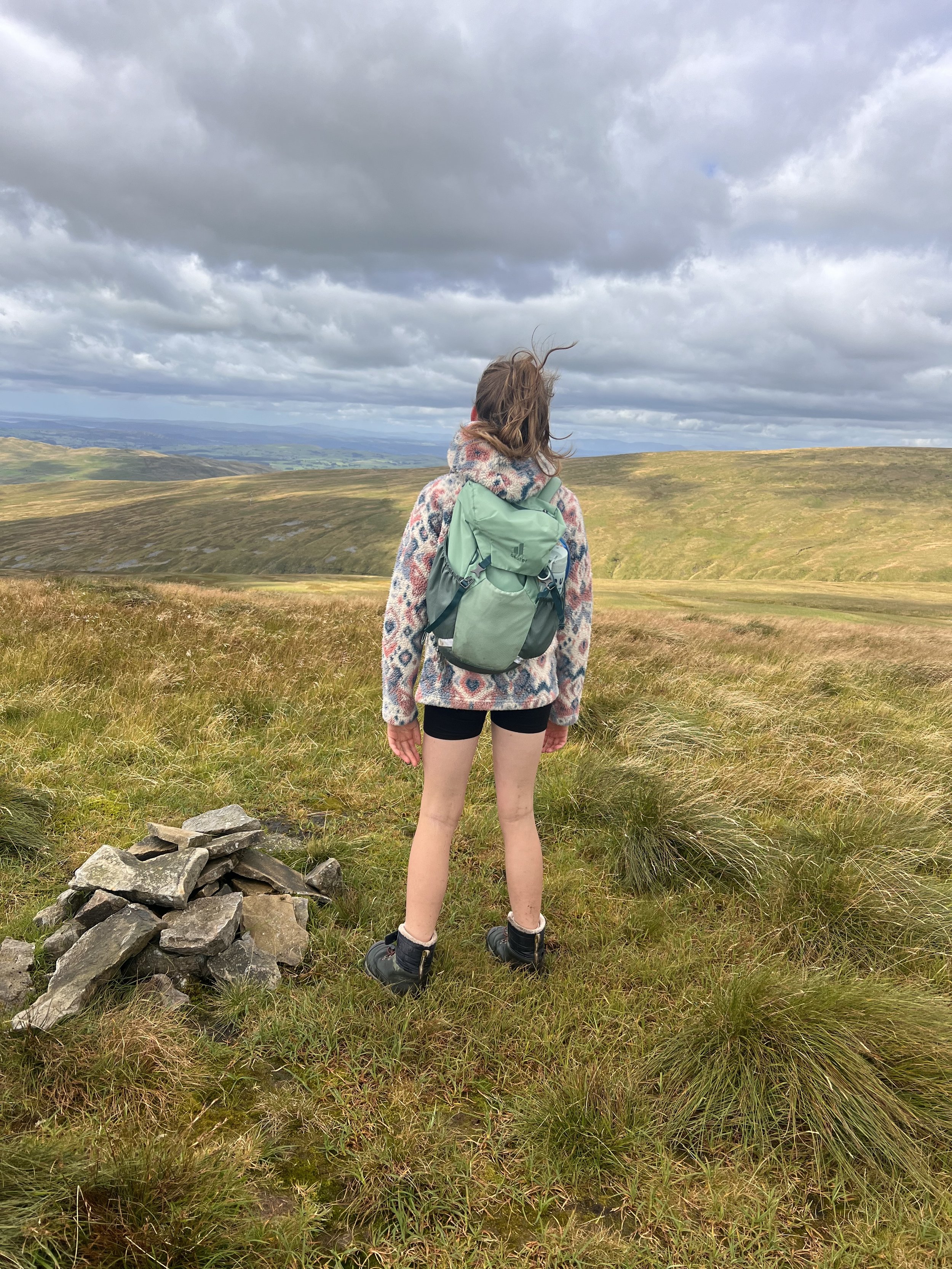
The top of Green Hill. Not very hilly.
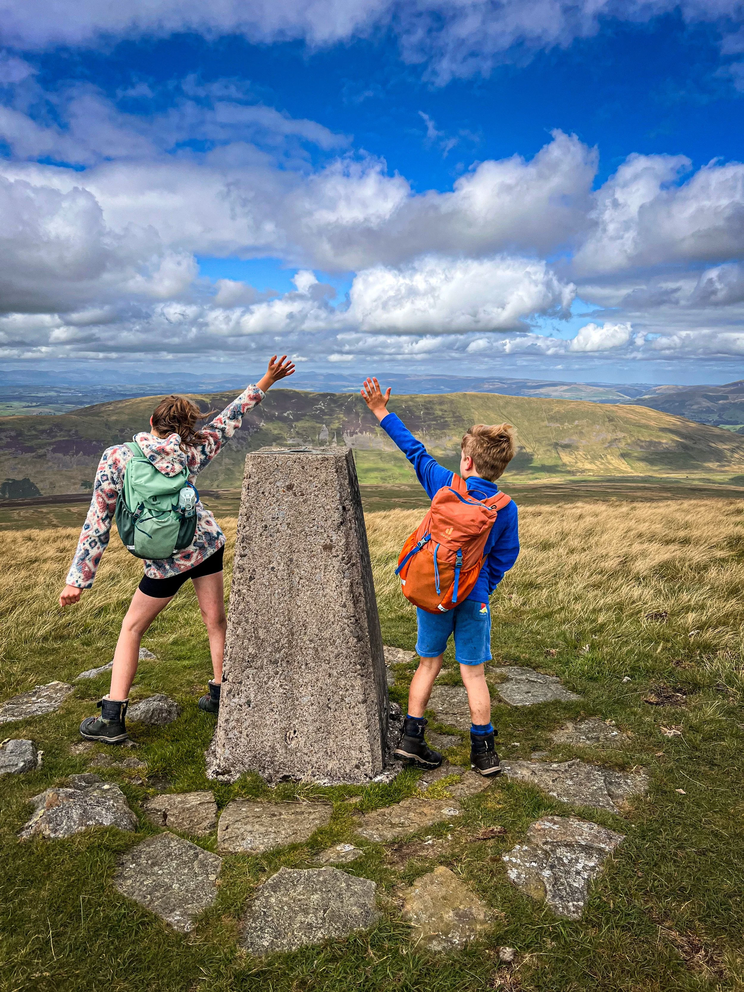
The trig point of Crag Hill
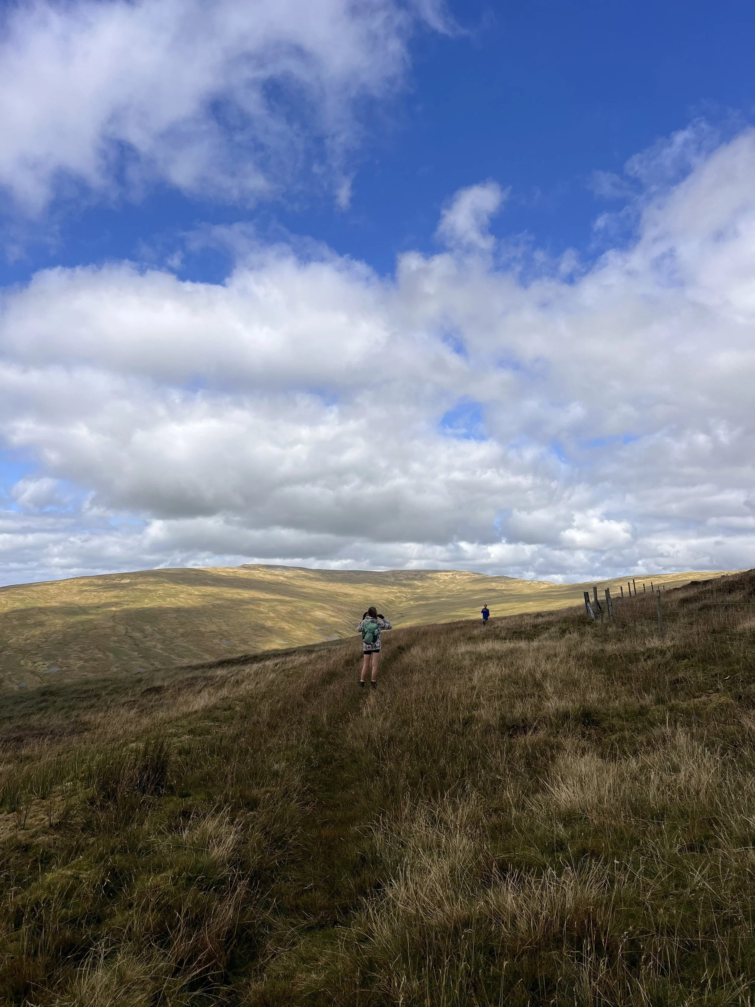
The approach to Green Hill
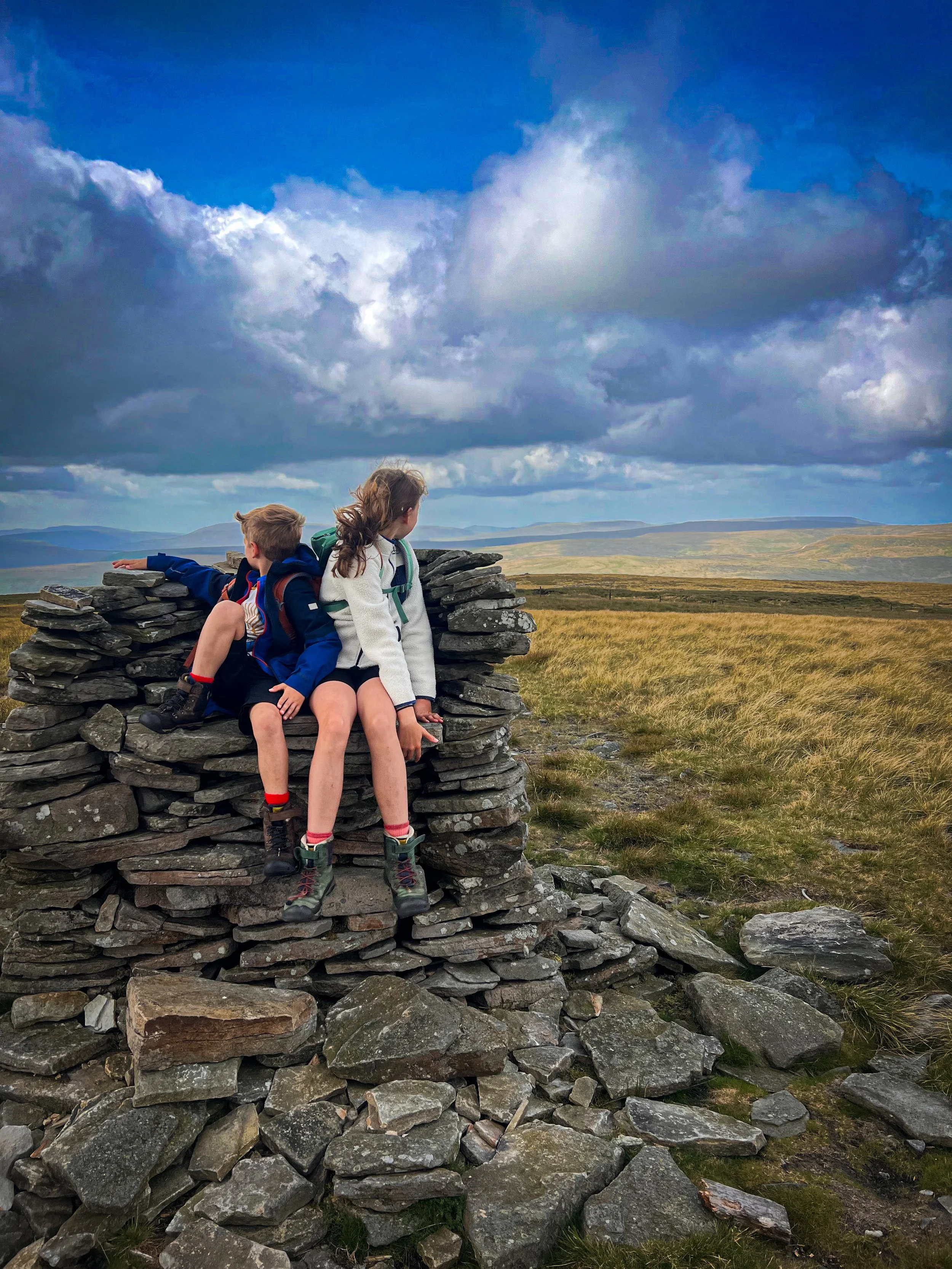
Lovely Seat
18 August 2024
The one that actually had a lovely seat
What a Lovely Seat.
And that pretty much sums it up this one! The question is, did the seat come BEFORE the name, or the seat because of the name?
Well actually, I believe that Lovely Seat isn’t the correct name for the fell at all. A little bit of reading will say that this is actually called Lunasett, or moon pasture (in Norse). The rumour is that it was misheard when creating the map of the area and has ever since been Lovely Seat. Either way, it definitely has a lovely seat on the top!
We tackled this one as a quick bag. With the mountains still stacking up and the time (particularly in daylight terms) getting short, this was a short clamber from the parking area on Buttertubs.
Stunning views, but SUPER short.
Be aware that during hunting season in the Summer parts of this fell are closed to the public.
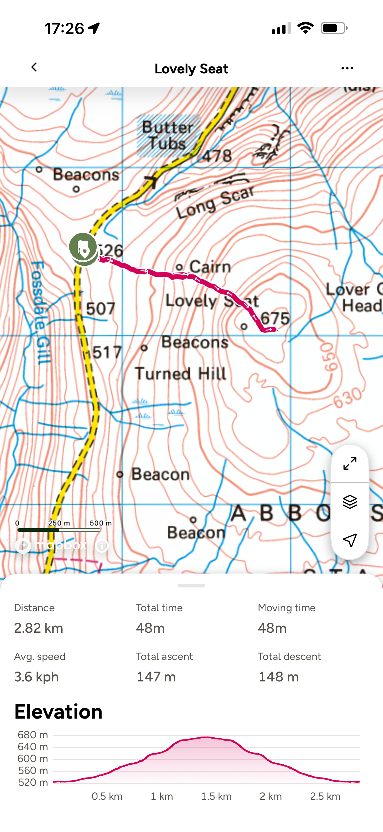
Lovely Seat: The Route
There’s not much to say about this in terms of route notes!
As per usual, there is no marked footpath on the Ordnance Survey map and the route on the ground handrails the boundary line all the way up. It is extremely boggy towards the bottom, but there is a handy stile at the top to give you access to the summit seat.
The only real thing to mention is that:
a) it really is a lovely seat
b) there are some stunning views
c) there’s not much else going on!
There’s no obvious circular route to try, the east side looks like a total bog-fest. So I reckon, this is probably your only desirable option, with the kids or not!
Image is copyright of Ordnance Survey
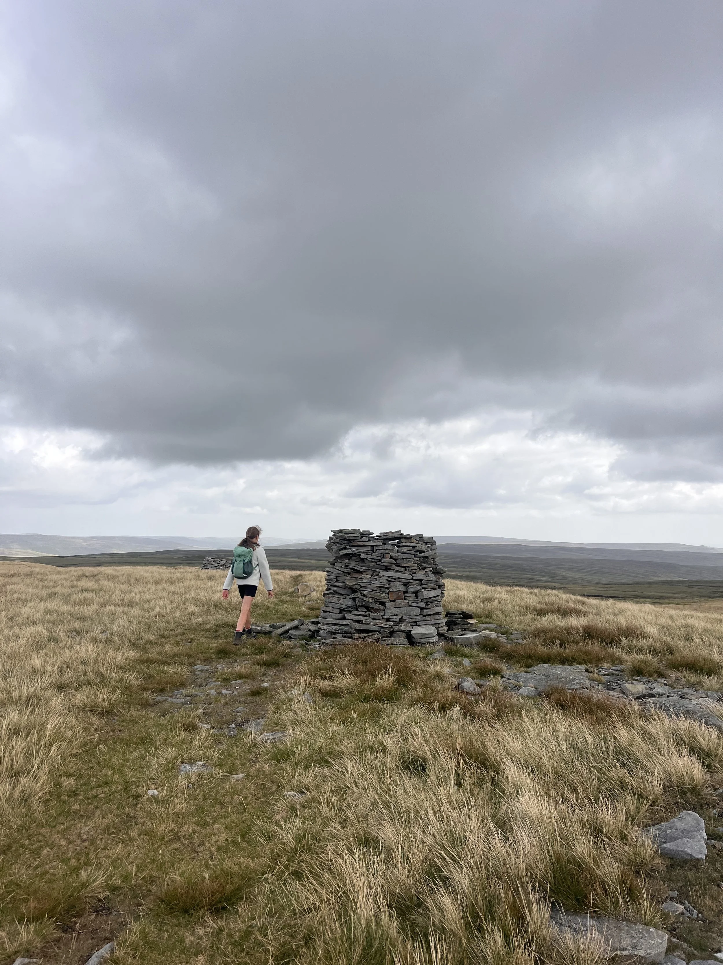
The view of the seat from behind (super short, no photos)
Lovely Seat Challenge Facts:
Distance Walked: 2.82km
Total time spent walking: 48 minutes
Lovely Seat Summit Height: 670m
Total Actual Ascent: 148m
Ranked: 18th Highest Nuttall in the Yorkshire Dales (or 41st if you count the other list)
Wild Boar and Swarth Fell
12 October 2024
The one with the bad call.
Oh Wild Boar Fell.
Where Lovely Seat was a straightforward wham bam bagged it Stan mission. Wild Boar was not.
Check out the time difference in terms of the dates. September was a write off. I completed the Yorkshire Three Peaks challenge one weekend then we had some epically wet and windy weather. In fact, the weather on the Y3P weekend was pretty pants too! We attempted Water Crag and Rogan’s seat towards the end of the month but had to turn back because of the wind (no shame in turning around and all that.)
So on my birthday weekend, we booked a treat stay to attempt Wild Boar Fell and its next door neighbour Swarth Fell. Our fourth stay in the Westmorland Dales in an attempt to bag their Nuttalls. You see why this was becoming frustrating yes?!
The weather on the run up to the weekend was looking pretty steady, Saturday was great, Sunday was not great which was fine, because we were going to be home and dry by that point. The day before was a glorious Autumn day, blue skies, warm temperatures. We had a stunning birthday dip in Ibbeth’s Peril in Dentdale after heading over after school. The Friday night was a wonderful birthday meal at the Black Swan in Ravenstonedale (highly recommend if you’re in the area - they accommodate families beautifully).
Then the forecast started to look a little more sketchy for the Saturday afternoon.
But never fear, we were planning on an early start and by the mountain forecast, it looked as though we had a window long enough to bag the fells and be at least mostly down before the weather came across.
Well… if you know the Westmorland Dales, then you’ll know the stunning views towards the Lakes, towards the west and towards the weather coming in!
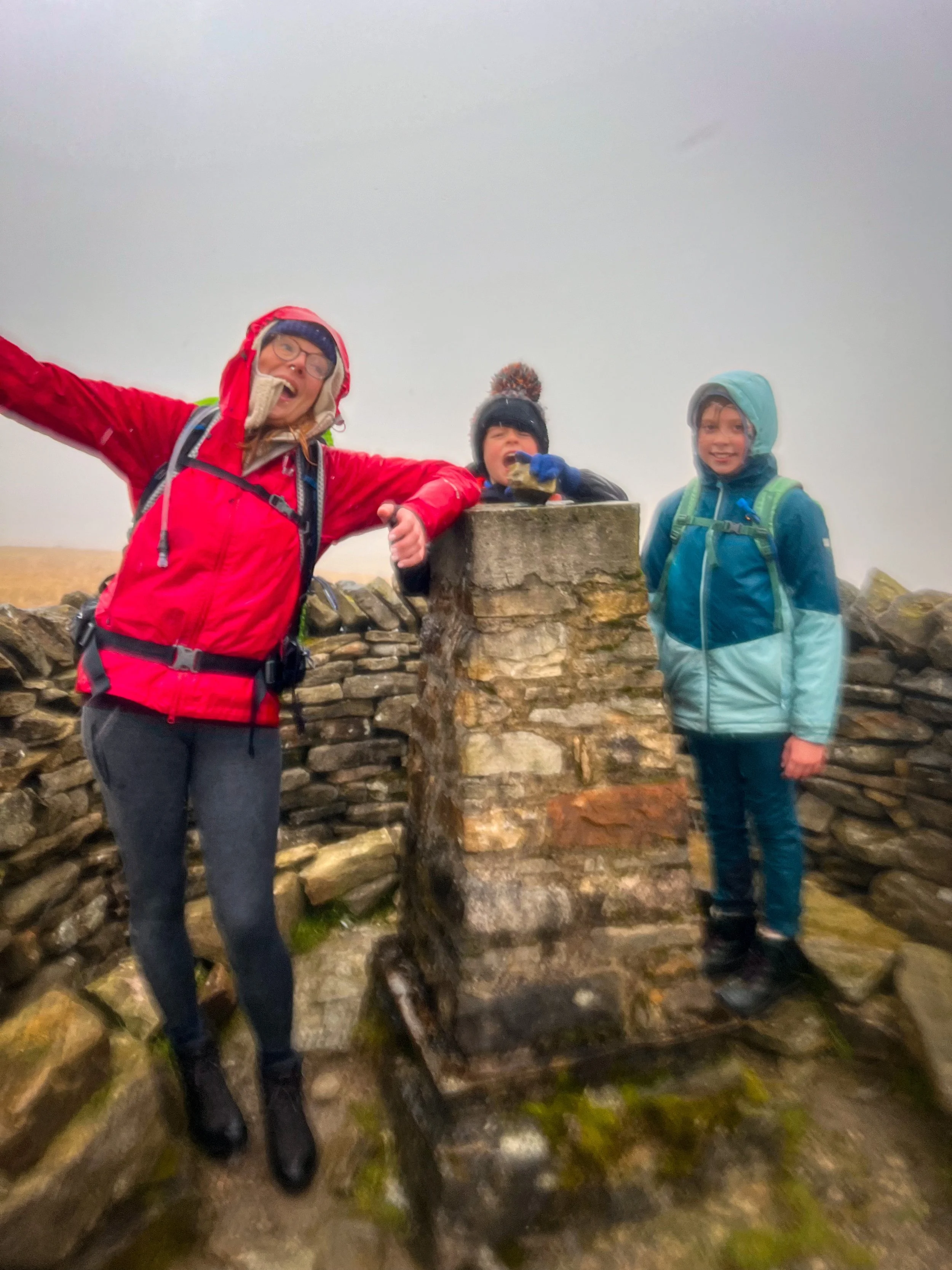
At about the point of no return, on the final slog to Swarth Fell, we could see the weather coming in rather sooner than expected and really quite quickly. We have never completed an ascent more quickly than this (it’s why we look so miserable on the summit picture!) The weather was on our backs and we were at the furthest point.
And come in, it did. Let’s say I regretted wearing glasses, I was not appreciative of the horizontal hail and I really regret not putting on my waterproof trousers. LITERALLY WHY?! They were in my bag! But perhaps this demonstrates just how quickly we were trying to get off this mountain! It also demonstrated how the kids really needed a kit upgrade… and it’s why in the photos going forwards, you will note a full new waterproof collection!
Now. I am Hill and Moorland leader trained. But we all make mistakes and this one probably should have been shelved for another time. But we live and learn and we laughed after this one. Admittedly, NOT at the time when I couldn’t read the map because of the rain on my glasses and the visibility was SO poor that it’s genuinely been the worst I’ve experienced.
Just a reminder that these Yorkshire Dales mountains can bite. Hard.
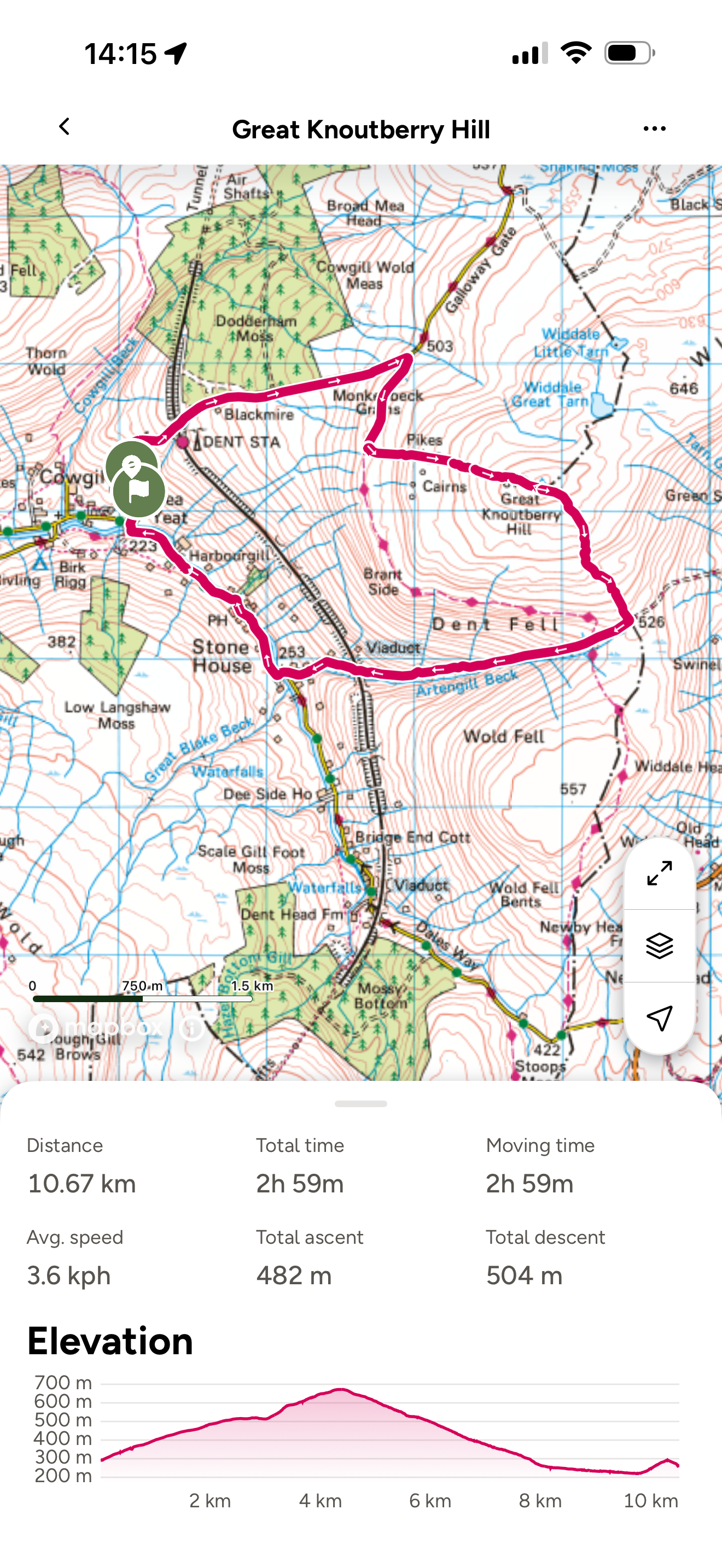
Great Knoutberry Hill Route
Look at that lovely circular!
We parked on Coal road near Dent Train Station (parking there is reserved for rail users only) There is a small area of hardstanding next to the road (not a passing place, I might add) but there is actually also a small amount of parking further along the road where Coal road meets the Pennine Way.
Both meant an unwelcome up at the end of the walk, but parking was a challenge on this one!
There was a decent chunk of road walking too, but the roads were super quiet, so it wasn’t really a huge issue.
In terms of paths, it wasn’t actually the hardest to navigate! After coming off the Pennine way to start the ascent to the trig point, the path was mostly clear all the way up, as per usual a bit of bog to negotiate, but not at all the worst!
Navigation Note: I say wasn’t the hardest, as the path handrails the fence all the way up, but make sure you take your map with you!
Image is copyright of Ordnance Survey
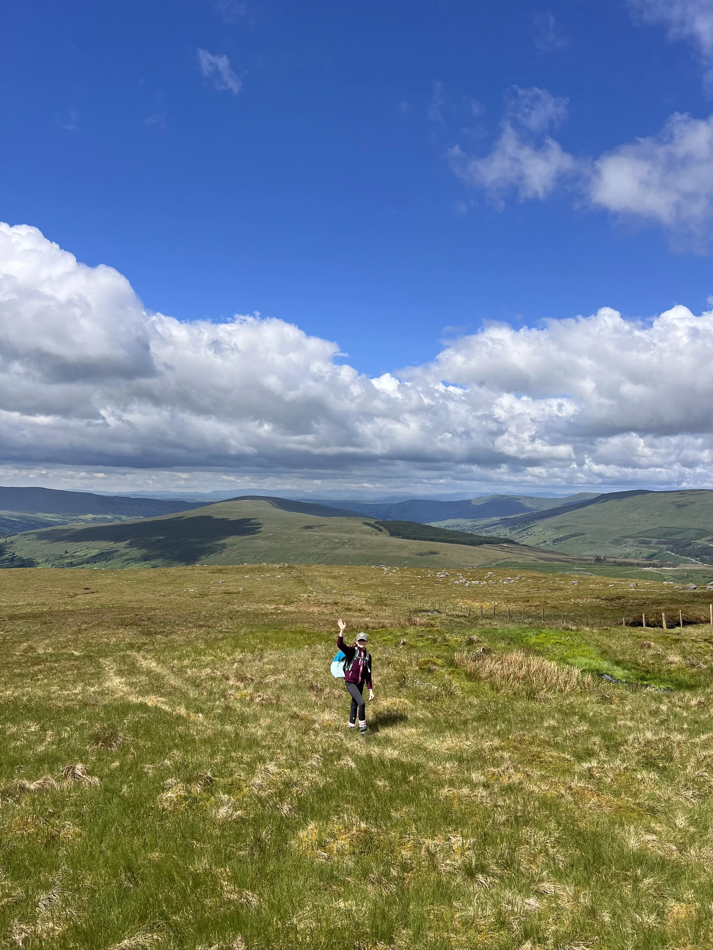
The final ascent to Great Knoutberry trig point with views towards the Lake District
Great Knoutberry Hill Challenge Facts:
Distance Walked: 10.67km
Total time spent walking: 2 hours 59 minutes
Calf Top Summit Height: 672m
Total Actual Ascent: 482m
Ranked: 20th highest Nuttall in the Yorkshire Dales
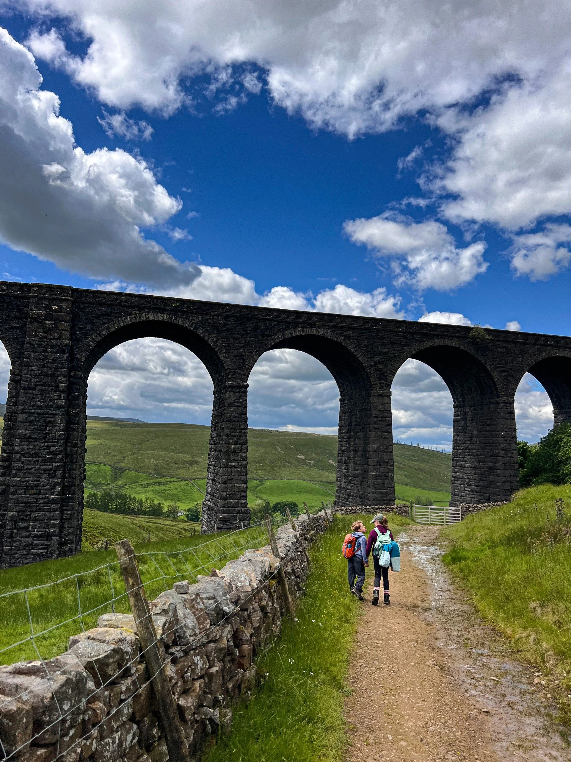
The return path to Dent heads under the Arten Gill Viaduct
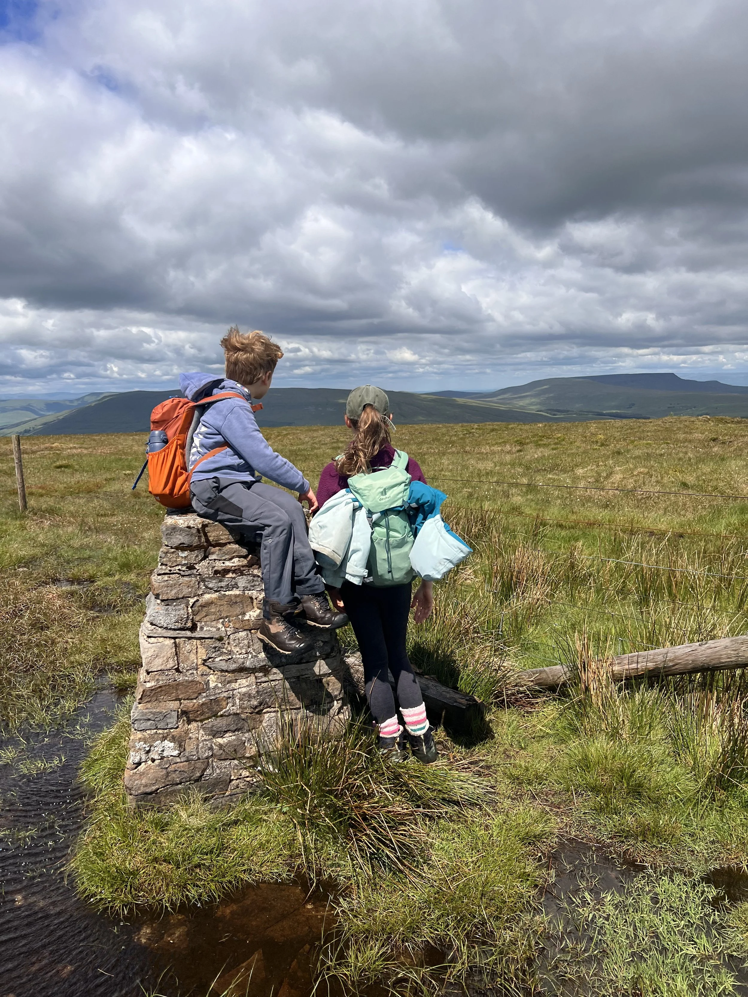
The view looking towards Wild Boar Fell (the one with the pointed profile) and Baugh Fell
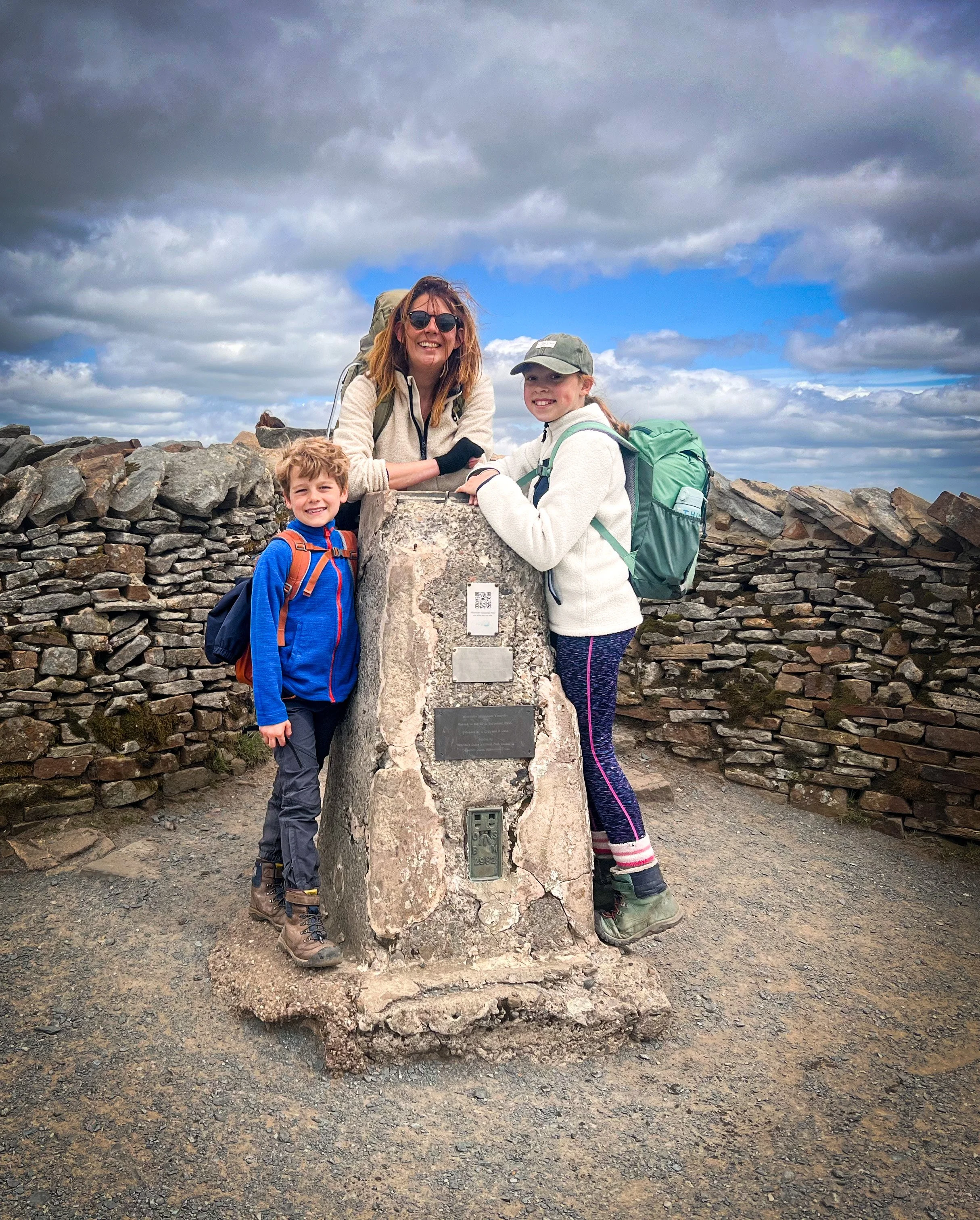
Whernside
1/6/2024
The biggest one
The Big One. Whernside
Whernside was not a new one to us and our tried and tested Whernside circular route was our go to. We like to go…. CLOCKWISE. I know sharp intake of breath from those who love the Yorkshire Three Peaks route.
Firstly, and perhaps controversially, Whernside is probably not even in my top five favourites peaks in the Yorkshire Dales. THE HORROR! Of the Yorkshire Thee Peaks, it’s my least favourite and I find that the Y3P route is just a long old slog.
One of the reasons that I always start the Yorkshire Three Peaks challenge with Whernside (purists… calm down) is that it gets the worst one out the way and saves the best until last!
But, there are LOADS of things to like about Whernside, Force Gill, the stunning waterfall on the side of it is unrivalled by the other Y3P candidates, the views from the top are amazing (despite it’s slightly sad looking trig) it has a spectacular start at the Ribblehead viaduct AND it has one of my favourite pubs in the Yorkshire Dales, the Station Inn.
So let’s crack on with that route eh?
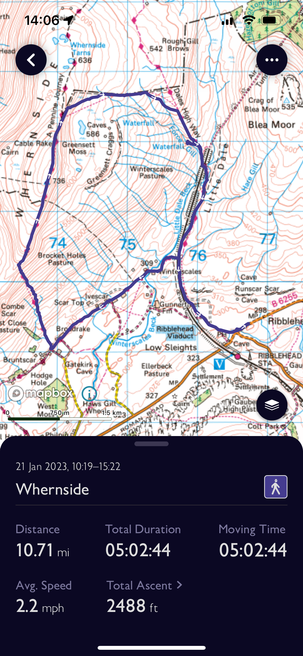
Whernside Route
Well aren’t we on a roll with the lovely circular walks eh? I’m beginning to think my earlier pessimism was not well founded at all!
We have walked Whernside by all available (and sensible) routes and by far my favourite is to tackle the steep up first, by heading along to Broadrake from Ribblehead first.
This achieves two things. It gives you a short and sweet up rather than a long LONG up and if you’re in luck, the ice cream van will be sat at the bottom of the steep climb to provide ice cream energy (peak season only).
The only downside is that you have to keep out of the way of all the oncoming Y3Pers who will be doing it the opposite way round! That said, if you do it on a weekday in school holidays, you might actually be ok!
If you love a little waterfall dip, Force Gill is excellent and is perfectly positioned three quarters of the way around and nearly at the bottom. The perfect refresh before tackling that last stretch back to Ribblehead (and to the pub!)
Image is copyright of Ordnance Survey
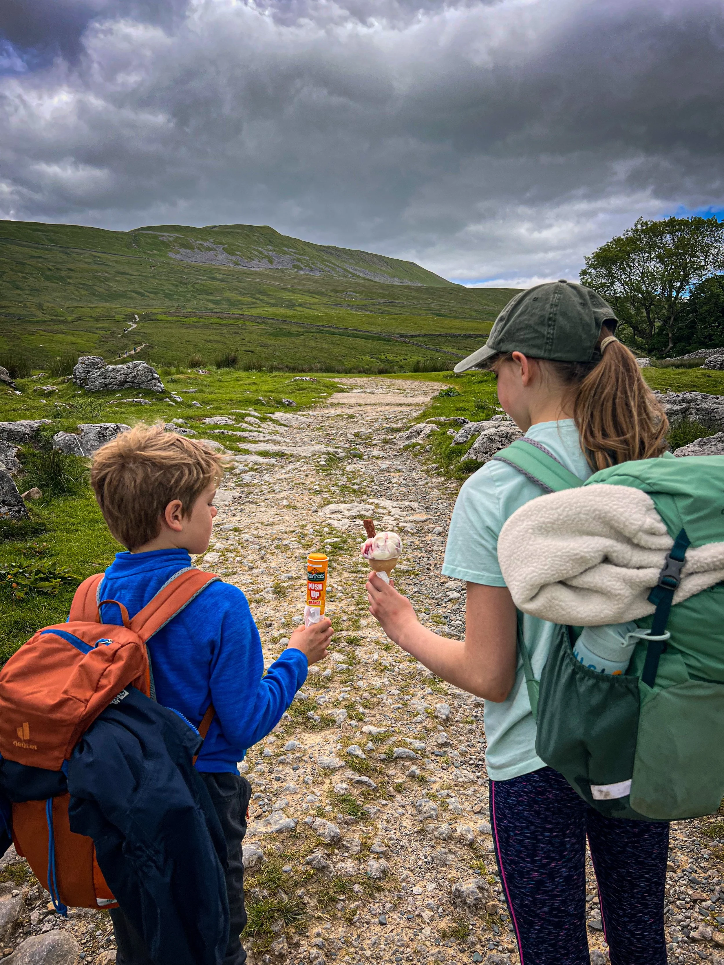
The perfectly place ice cream van at the foot of the ascent.
Whernside Challenge Facts:
Distance Walked: 14.87km
Total time spent walking: 5 hours 4 minutes
Whernside Summit Height: 736m
Total Actual Ascent: 570m
Ranked: 1st, the highest Nuttall in the Yorkshire Dales
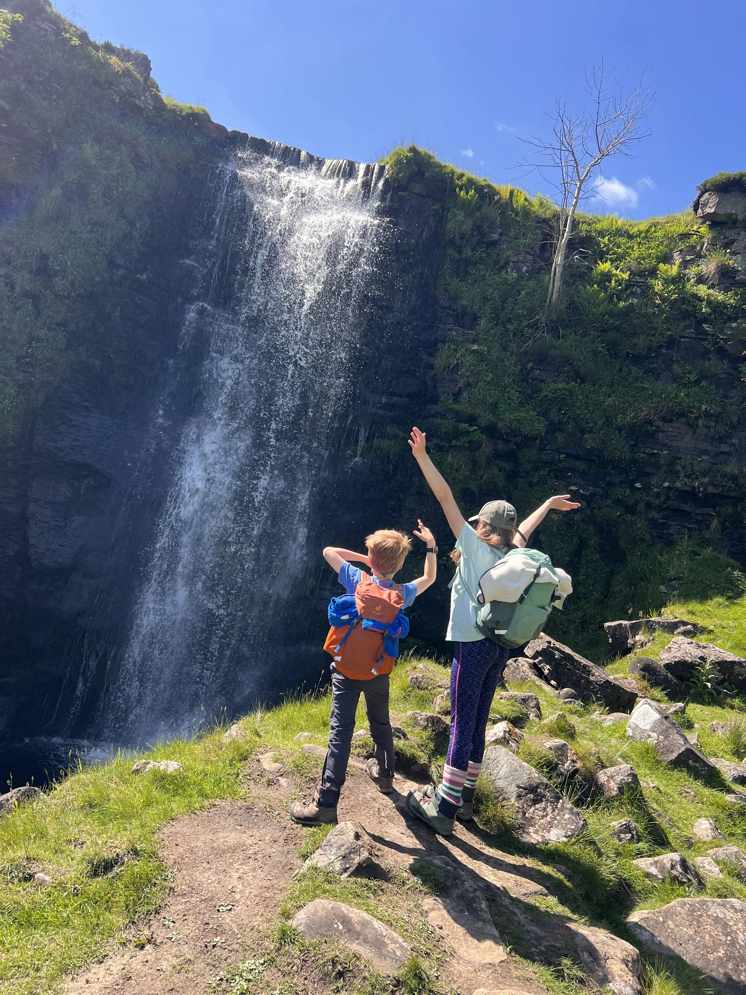
Force Gill waterfall on the side of Whernside
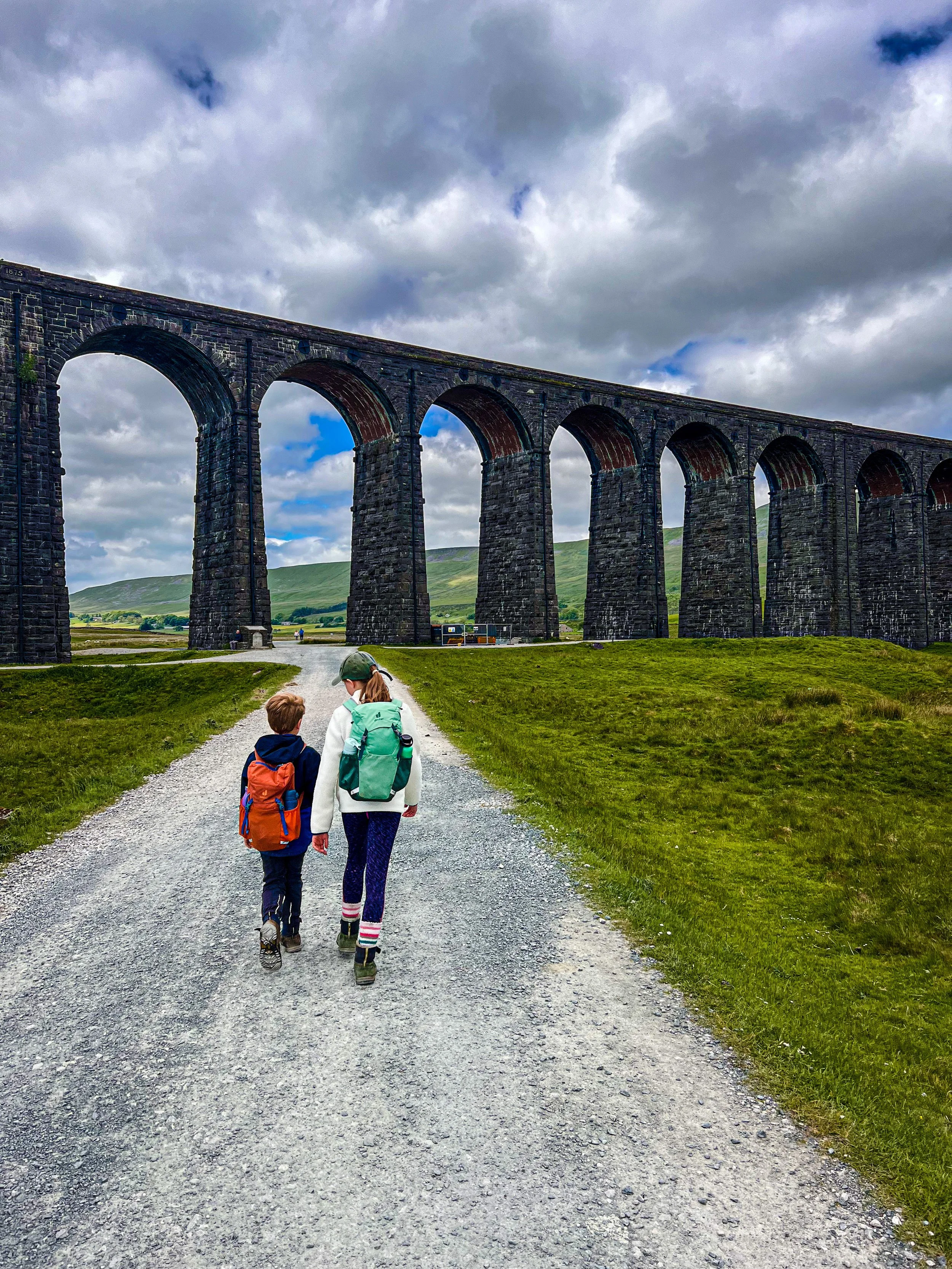
The Ribblehead Viaduct, the walk starts by heading under the huge arches.
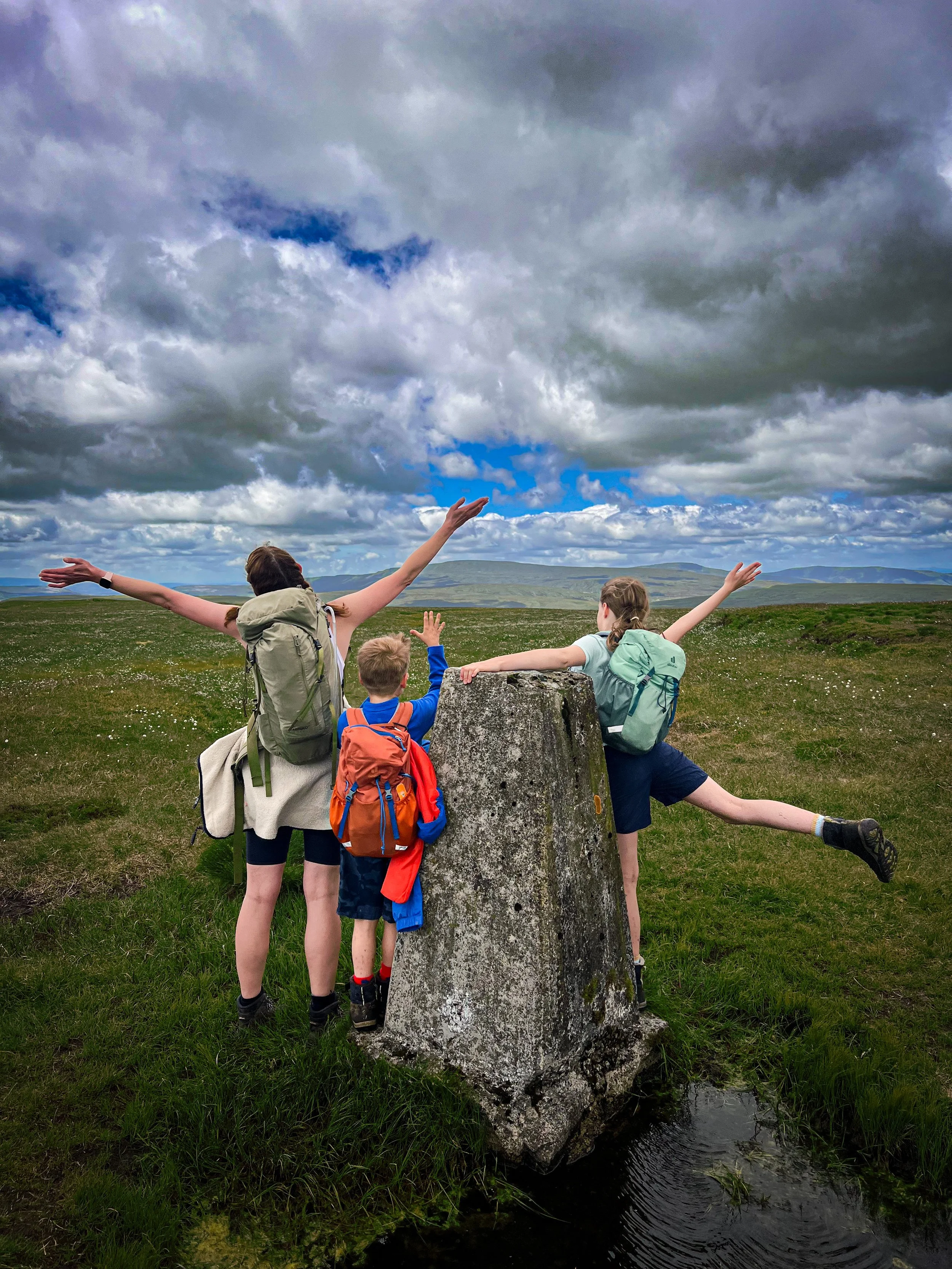
Dodd Fell Hill
11/6/24
Great Views…
Dodd Fell Hill, heard of it?
Probably not. I’d never heard of it until we started this challenge! Dodd Fell Hill overlooks Oughtershaw in the uppermost reaches of Langstrothdale and is quite frankly a long way from anywhere, with its nearest town being Hawes.
There really isn’t much of a walk to be made out of it either unless you are creating one of those absolute beasts of a Dales Nuttall bagging walks that are far too long for any reasonable kid to achieve.
And when we do this one again for our trig bagging mission, we will be doing it slightly differently…
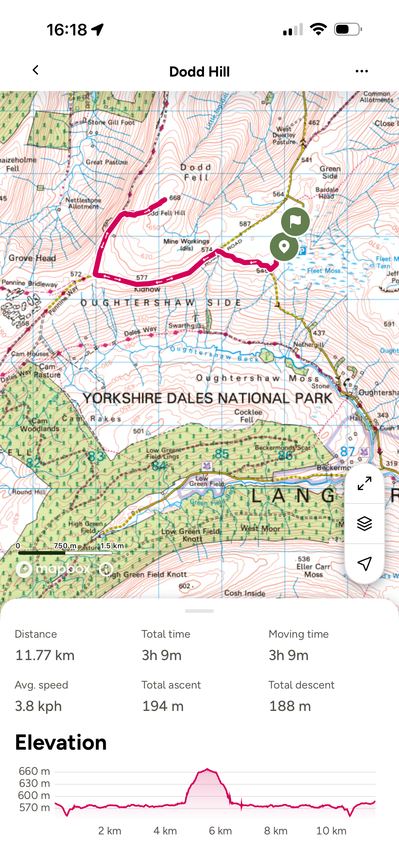
Dodd Fell Hill Route
Aaaaaannnnd we’re back to the out and back again walks.
This is one that we’d do differently when we do it again simply because the walk from Fleet Moss parking area is dull. It mainly heads along the old Roman Road, where it turned out that there was a parking area, as you turn off to join the Pennine Way (my bad on the planning front!)
Given there really isn’t any lovely bite-sized way to do it, in future we’ll simply drive to the parking area and make it a short and sweet 4km out and back and tie it in with a trip over to the very lovely Hawes to hit the ice cream parlour and the park!!
Navigation Note: This is a trickier one to navigate, as you are off the main Pennine slog and on open fell. That said there is a vague trodden path to follow to the trig. Be prepared for off path navigation.
Image is copyright of Ordnance Survey
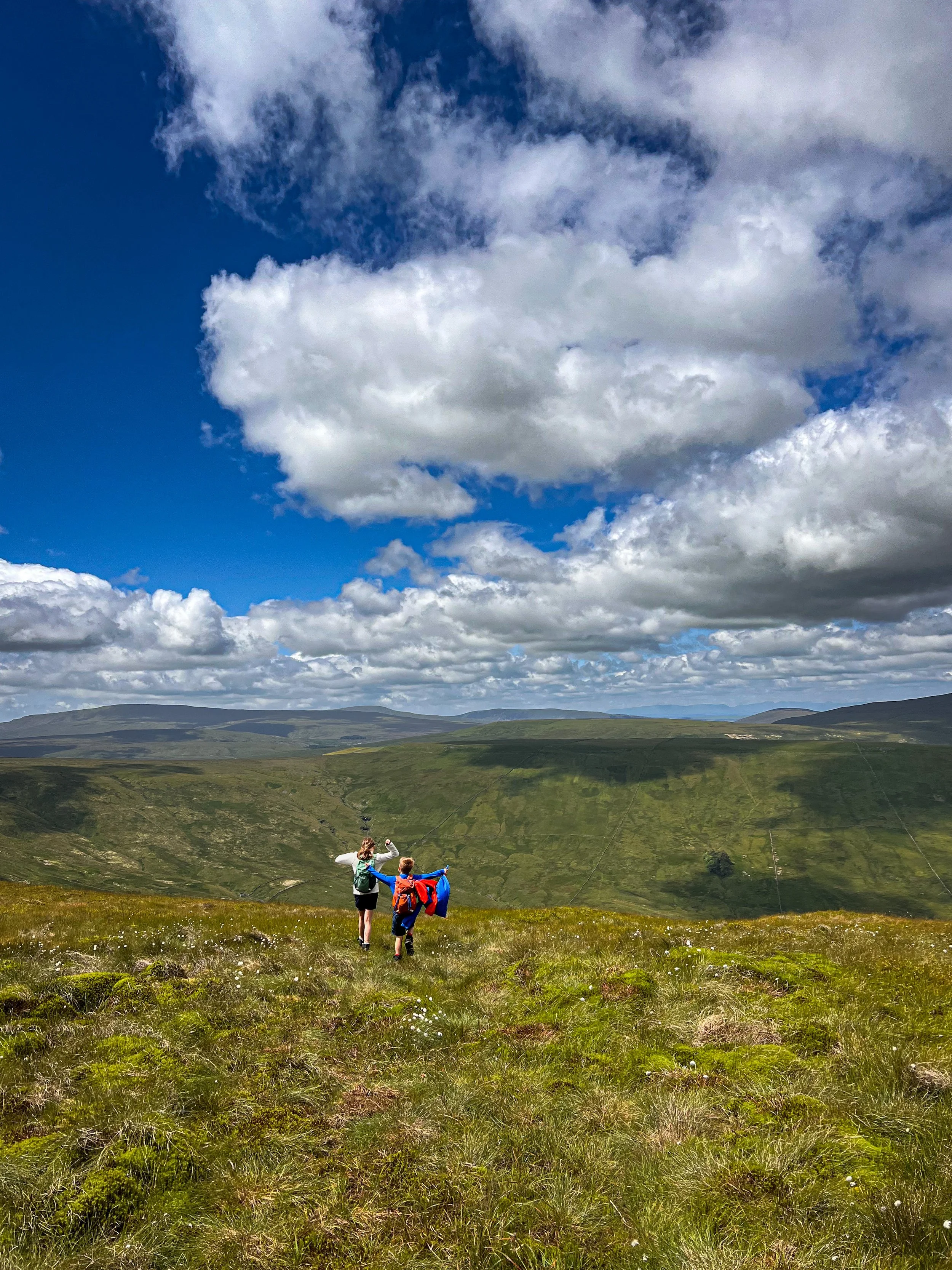
The descent from Dodd Fell Hill.
Dodd Fell Hill Challenge Facts
Distance Walked: 11.77km
Total time spent walking: 3 hours 9 minutes
Dodd Fell Summit Height: 668m
Total Actual Ascent: 194m
Ranked: 23rd in the Yorkshire Dales
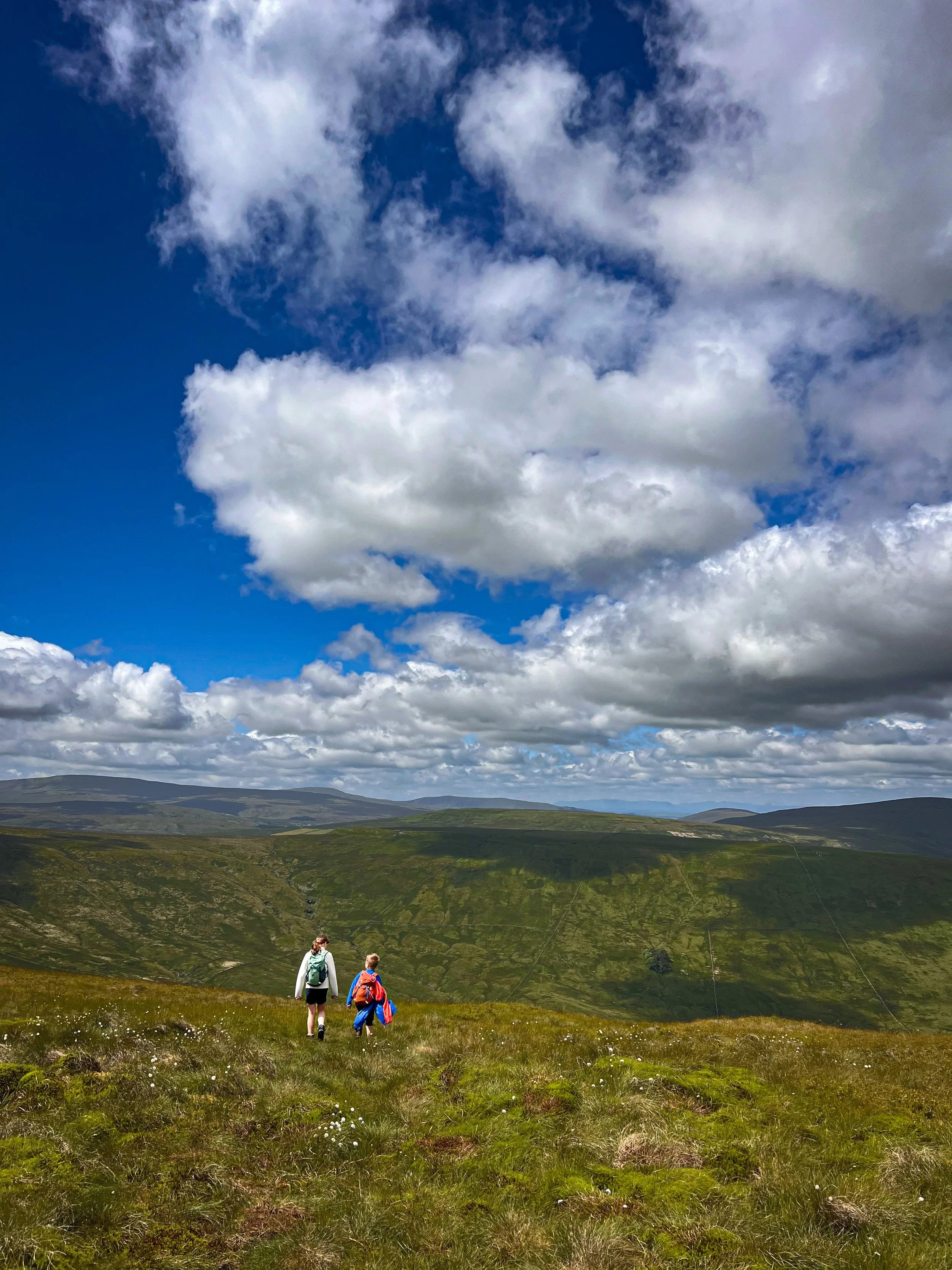
The view on the descent from Dodd Fell Hill. For such an obscure peak, it’s views are pretty spectacular. Here you are looking towards Snaizeholme Fell in the foreground, Great Knoutberry is lurking to the right and then on to the Howgills and beyond!
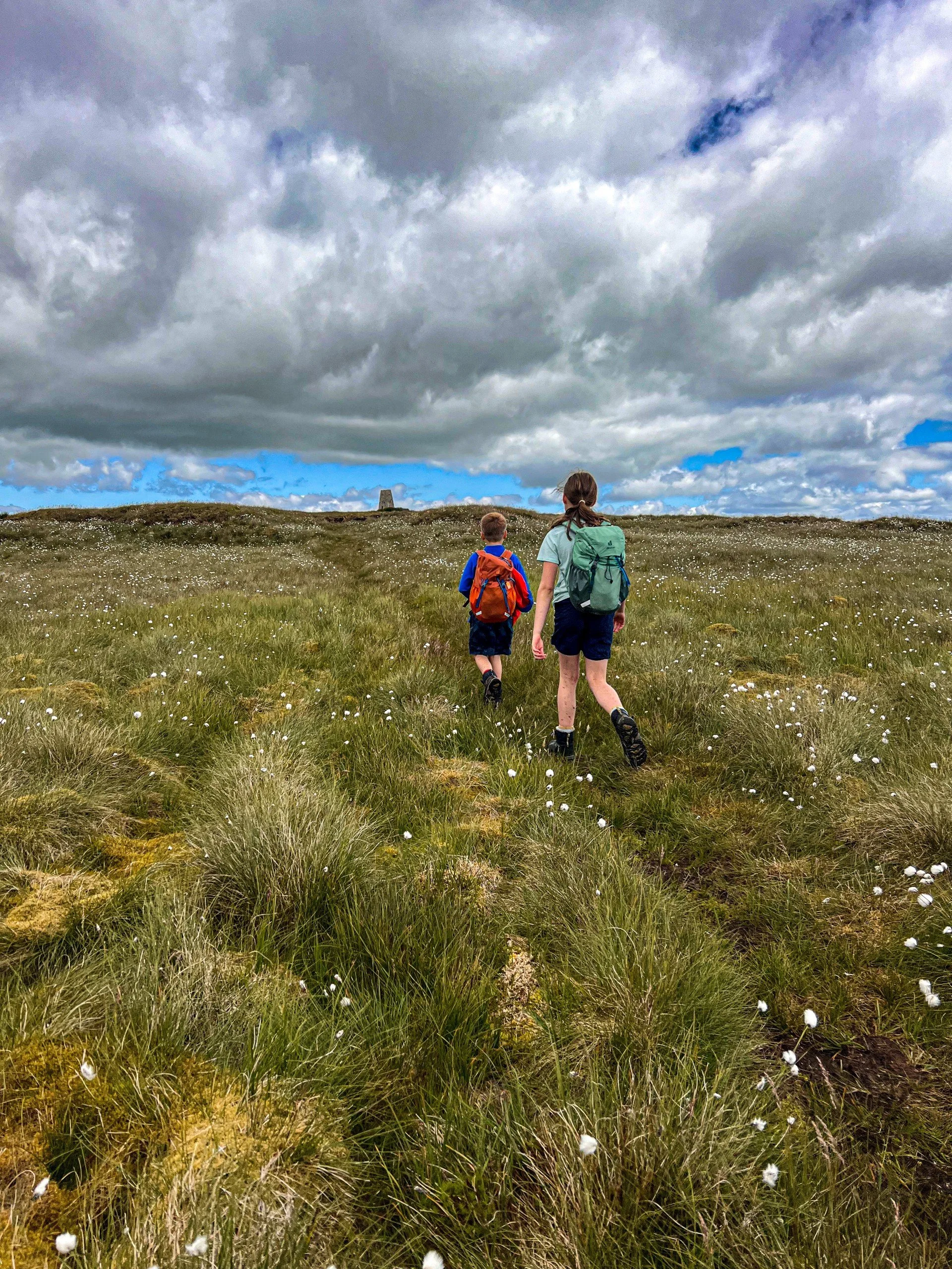
The floof flowers of Dodd Fell Hill (cottongrass) and the trig beyond. This gives you an indication of the type of path you are following.
Fountains Fell and Darnbrook
21/7/2024
And a slightly underwhelming friend…
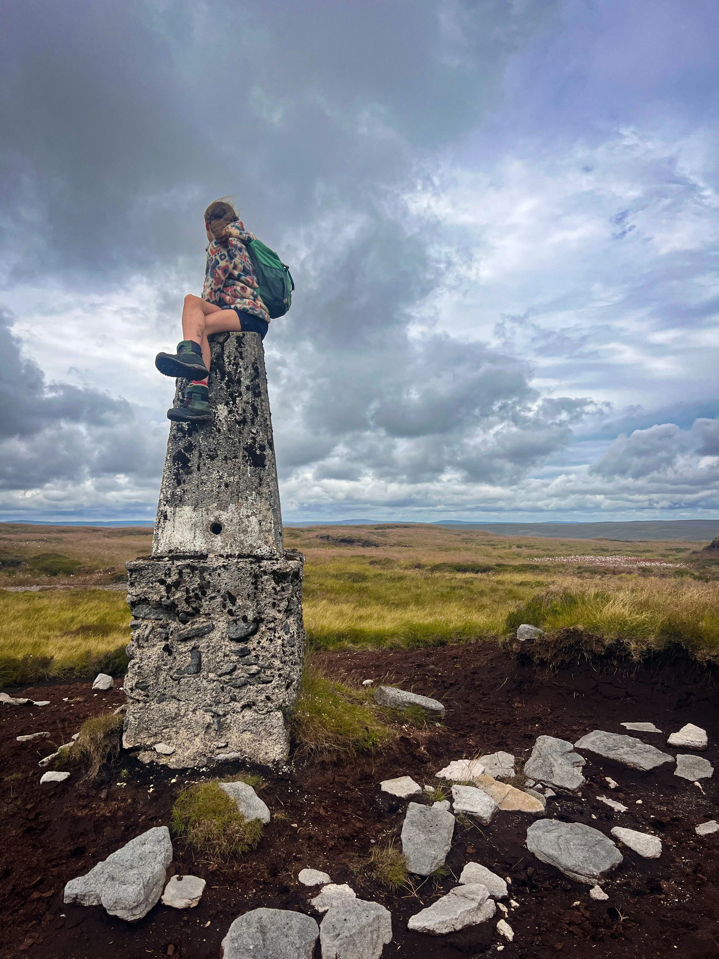
Look at the Trig Point on Darnbrook huh?!
I still cannot fathom how that much erosion has occurred on such a little visited trig. But it makes for an ENOURMOUS tower to sit on when you bag the fell, which makes up for Fountains Fell South Top, which was very much another…. WHAT? Moment.
I’m guessing it must be the fact that it’s pretty exposed and that the wind and rain have simply washed away the soft earth that once surrounded it, but yeah. Makes for quite the spectacle doesn’t it?!
I actually really liked this walk! If we weren’t bagging the Nuttall’s we almost certainly wouldn’t have bothered going to the South Top, which is the least toppy of tops we’ve encountered (amongst some more… I guess at least it had a tiny pile of stones to celebrate its’ summit. Unlike some others I can think of!)
But the big old cairn on Fountains Fell is worth a visit, along with it’s cool series of cairns on its approach. Darnbrook is simply showing off its trig point and we actually made this into another satisfying circular. So yes, I’m looking forward to paying Darnbrook another visit on our trig bagging challenge.
Ooh and did I mention the STUNNING views across to Pen y ghent who is Fountain’s Fell’s neighbour? Worth it to see that alone!
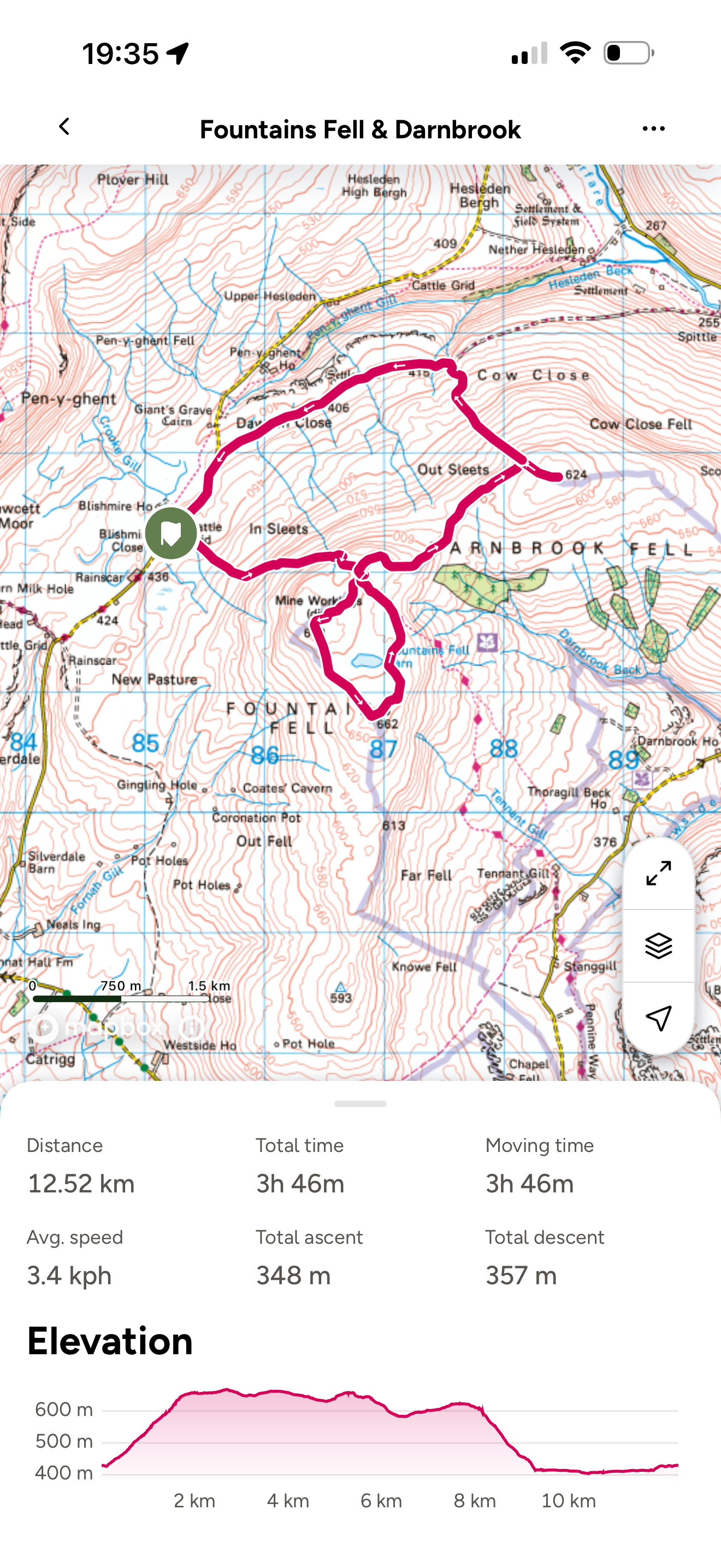
Fountains Fell and Darnbrook Route
A little figure of eight style walk now! If you look at the map, you can see that there is a big label saying ‘Mine Workings’
This is because the fell used to be worked as a mine, starting waaaaaaaaay back when the monks of Fountains Abbey used to own the fell (hence the name - fun fact). But what you do need to be aware of is that there are actually a fair few exposed shafts left over - the dangerous ones are fenced off, but the route is waymarked just in case, so stick to the route here!
Beyond, the stretch between Darnbrook and Fountains is pretty boggy, but on the scale of bog we encountered on this challenge, it wasn’t TOO bad. To bag the trig point, required a little hop over a low fence (it’s on access land, so don’t worry, just don’t damage it!)
Then we headed straight down, hugging the boundary line following a trodden path (not featured on the map) which took us out to the lovely track that heads back to the road.
Really enjoyed this one, would recommend!
Navigation Notes: Lots of perimeter handrailing on this walk and lots of off piste hiking. The paths are trodden, but I’d say only by those seeking to bag the Nuttalls.
Image is copyright of Ordnance Survey
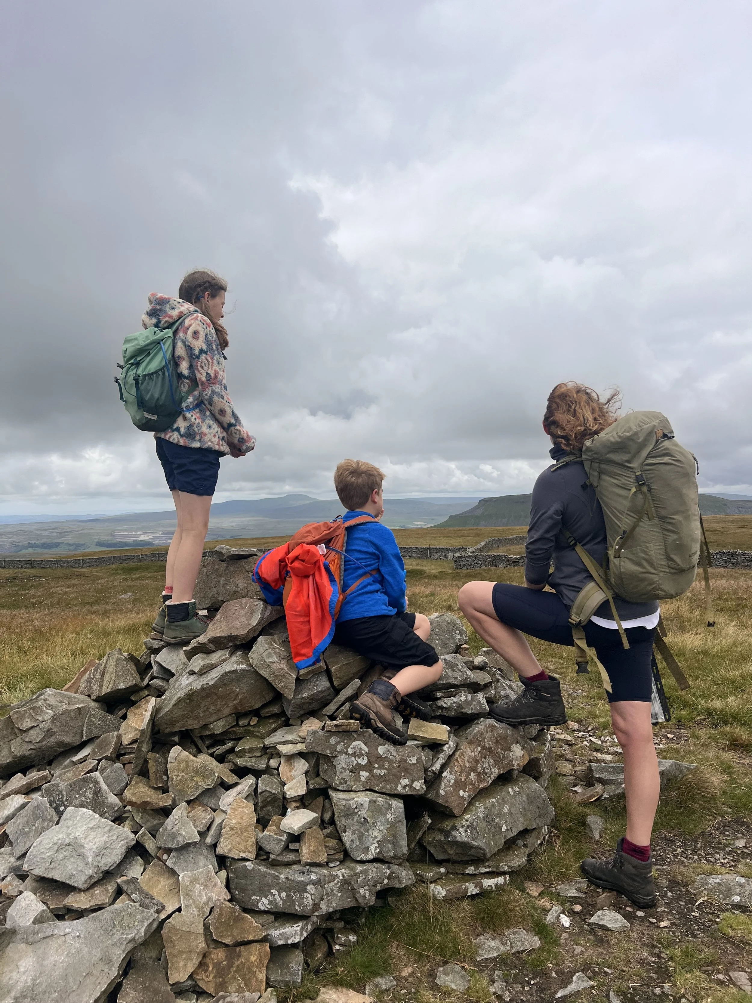
The cairn of Fountains Fell
Fountains Fell and Darnbrook Challenge Facts
Distance Walked: 12.52km
Total time spent walking: 3 hours 46 minutes
Fountains Fell, South Top and Darnbrook Summit Heights: 668m, 662m, 624m
Total Actual Ascent: 348m
Ranked: 24th, 26th, and 24th in the Yorkshire Dales
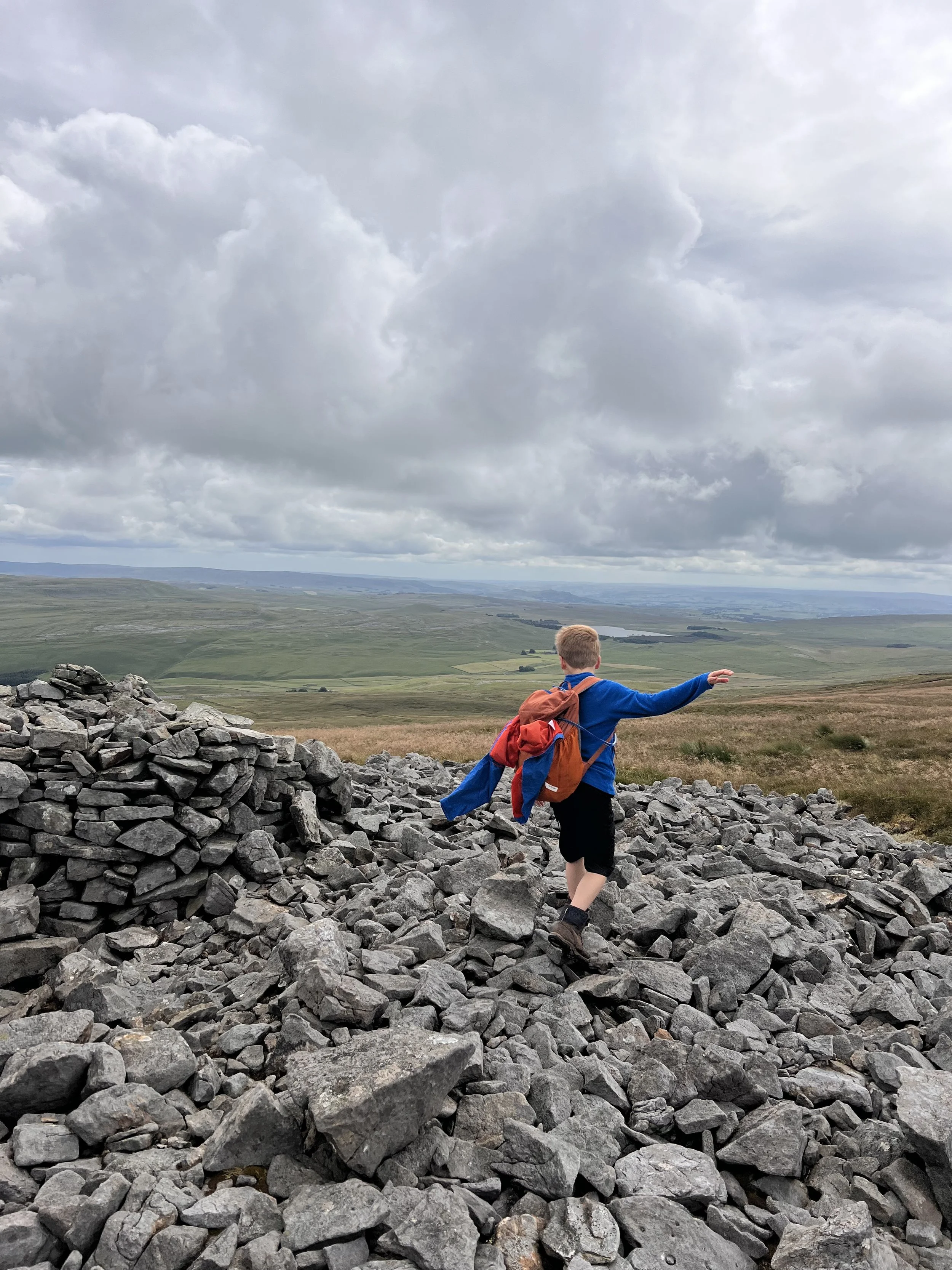
A ruined building near Fountains Fell South Top
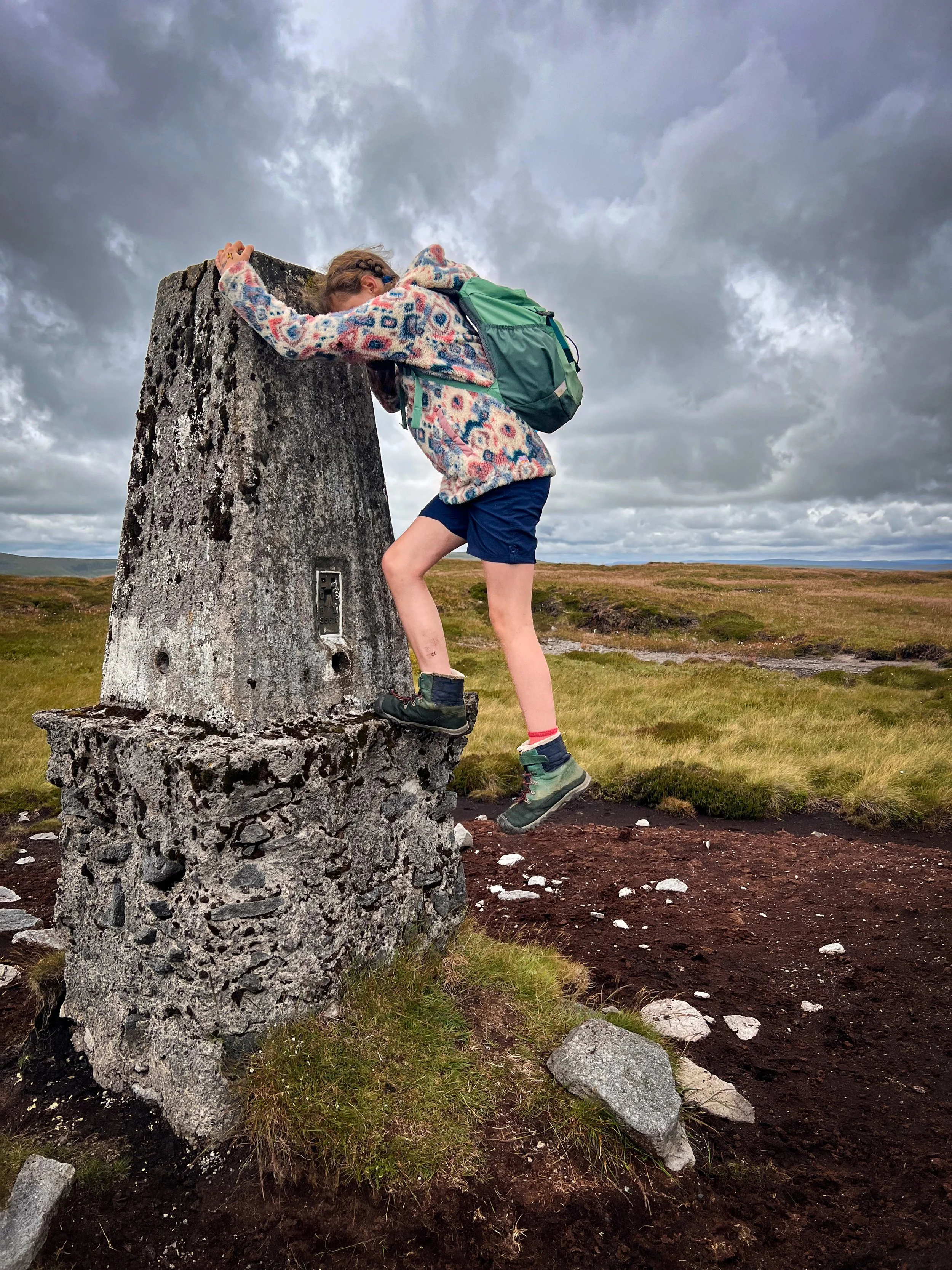
Attempting to climb the trig point
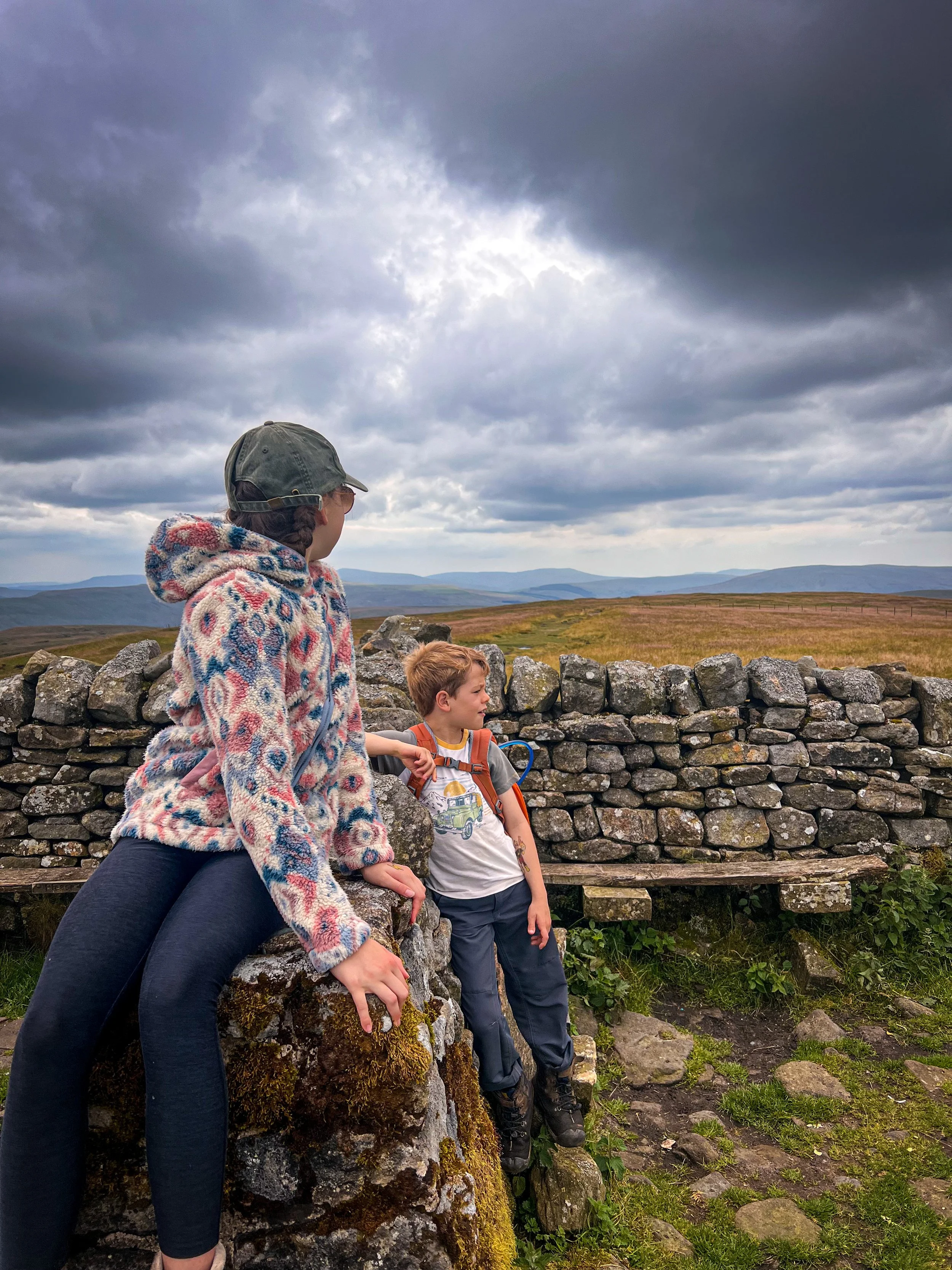
Great Shunner Fell
24/7/2024
It was all going so well… until
Great Shunner Fell is near Hawes
This was a route that was a little less than successful… full of good intention, but thwarted by a landowner who decided to build a fence across the path (more about that in the route information!)
It was a little bit of a shame because everything was going so well until that point, but when we hit it, we were well past the point of no return. The ACTUAL HORROR when I was alone with the kids! But we made it, and it’s one the kids say they will never do again (except they will… for the trig bagging challenge!….) Certainly it’s a route that I will never do again (even though - hopefully - the fence has been taken down).
Great Shunner is a biggun though! Third highest in the Yorkshire Dales National Park and on the Pennine Way with a trig summit seat! At least it has a good top, even if ultimately, it will be done again as an out and back.
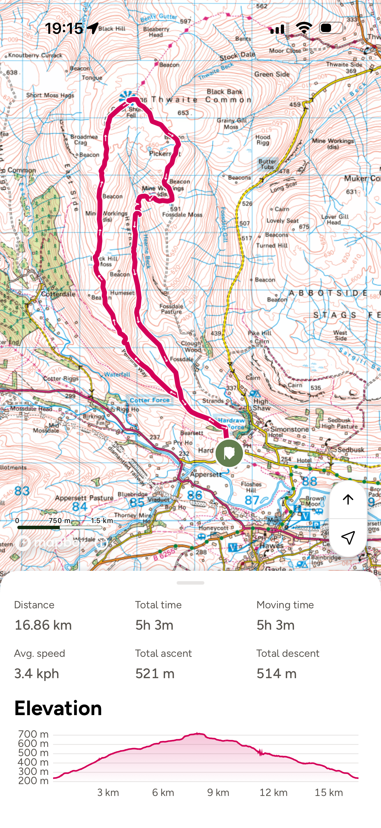
Great Shunner Fell Route
Do not recommend! Here’s the story…
In my quest for a satisfying circular and my love for being a bit rogue and going off path, I thought that creating this circular would be ace. There was only a small portion of the route on open moorland and in reality there were some tracks to follow so it was going really well until…
We hit the bridleway. Yes, the off path navigation was actually pretty straightforward and easy going, but the ACTUAL right of way? Blummin’ nightmare.
So the plan was to meet the top of the bridleway at Fossdale Moss (this is on Open Access Land where there is a legal right to roam as long as you are sticking to the countryside code). Now we walked this one well outside of ground nesting bird season, so I was happy for a little trudge over the moor to meet the bridleway, but as we descended on a clear track towards the top of it, we were met with a NO PUBLIC ACCESS sign.
Being very aware of the fact that I am perfectly within my rights to be joining the bridleway and PROW from open fell and access land, I soldiered on in the hope that this was simply a warning to those who were mistakenly following the 4×4 track, which does end in private land, with no way to access a path from there.
You’ll see from the map that we did indeed land upon the public bridleway, not that you would have any idea that it was there, because there was no evidence of it on the ground.
Presumably because further on there was a great big old fence build right across it.
Now, this is not ideal when you have two young kids who are on the home straight of a pretty huge walk. Not at ALL ideal. But thankfully, mother nature had thwarted the illegal boundary plans and provided us with a handy landslip which had taken out the ground underneath a section. So underneath we popped (even though I was riled, I refuse to cause damage to somebody else’s fence).
Despite our lucky escape, we were greeted with THE most overgrown path I have ever encountered. In fact I say path by name only, because this path was no path… it was a full on bush-whacking affair!
In short, there were tears. It was HARD going, they were tired, as was I and quite frankly, the efforts of the landowner to make this THE MOST unpleasant stretch of a right of way EVER did not go unnoticed (there was some seething).
And to put insult to injury (there were a LOT of scratched legs) upon emerging at the end of said ‘bridleway’ there was a lovely sign to justify that I had NOT lost my mind, this path SHOULD have existed, the blummin’ thing EVEN HAS A PROPER NAME!
This rant has clearly reignited the vitriol I at the end of the walk…. maybe I’ll go back to make sure that fence HAS been taken down…
(You’ll be relieved to know that this is the only rant in this series!)
Image is copyright of Ordnance Survey
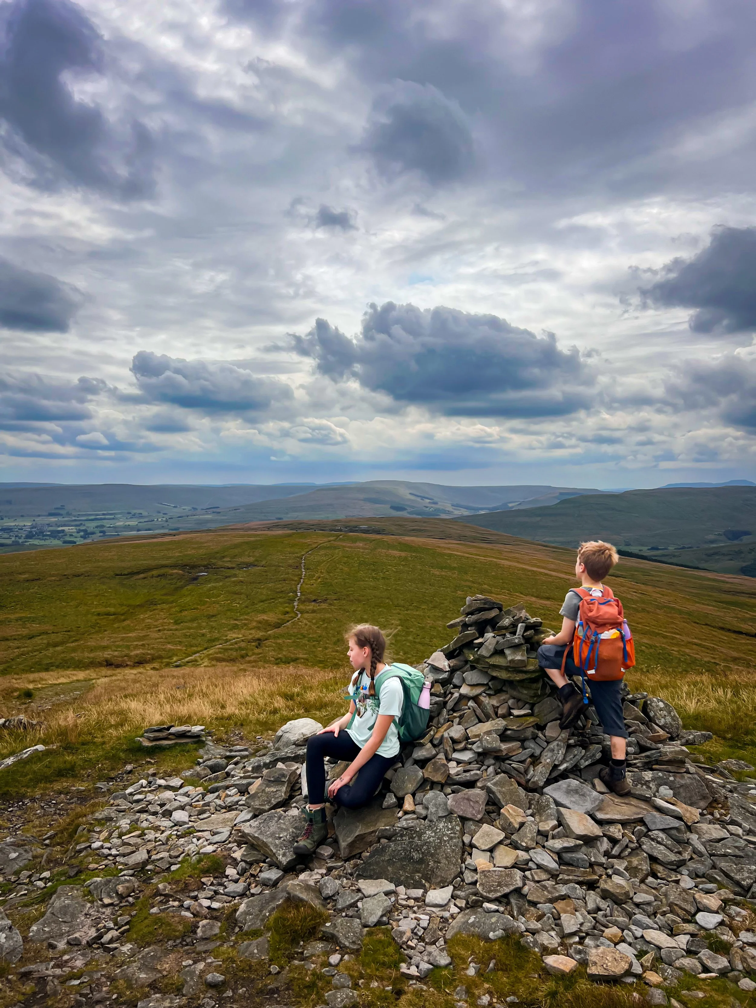
The approach to the summit of Great Shunner
Great Shunner Fell Challenge Facts
Distance Walked: 16.86km
Total time spent walking: 5 hours 3 minutes
Great Shunner Summit Height: 716m
Total Actual Ascent: 521m
Ranked: 3rd in the Yorkshire Dales
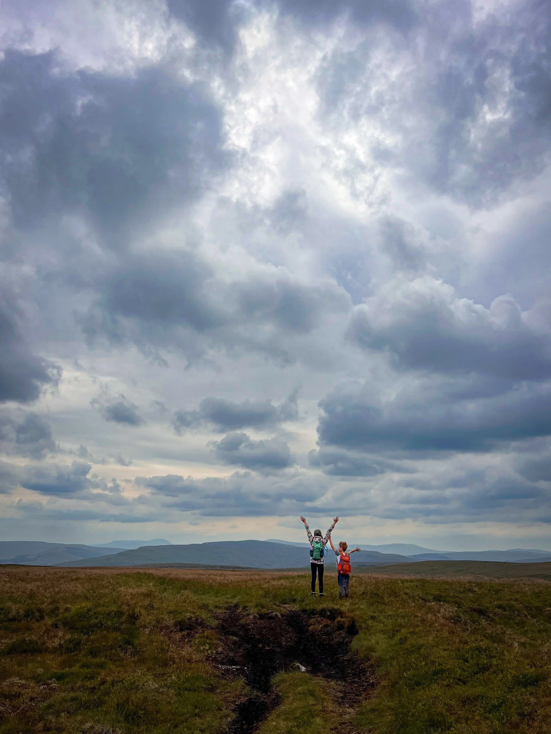
Nearing the top. The excellent views from the top were overshadowed by the downhill experience. But they are AMAZING.
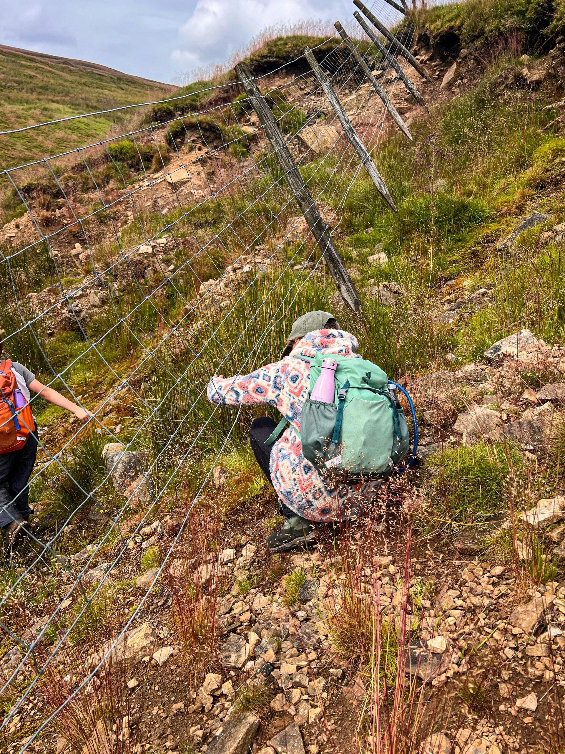
THE fence. There was a large enough gap underneath to squeeze without causing any damage.
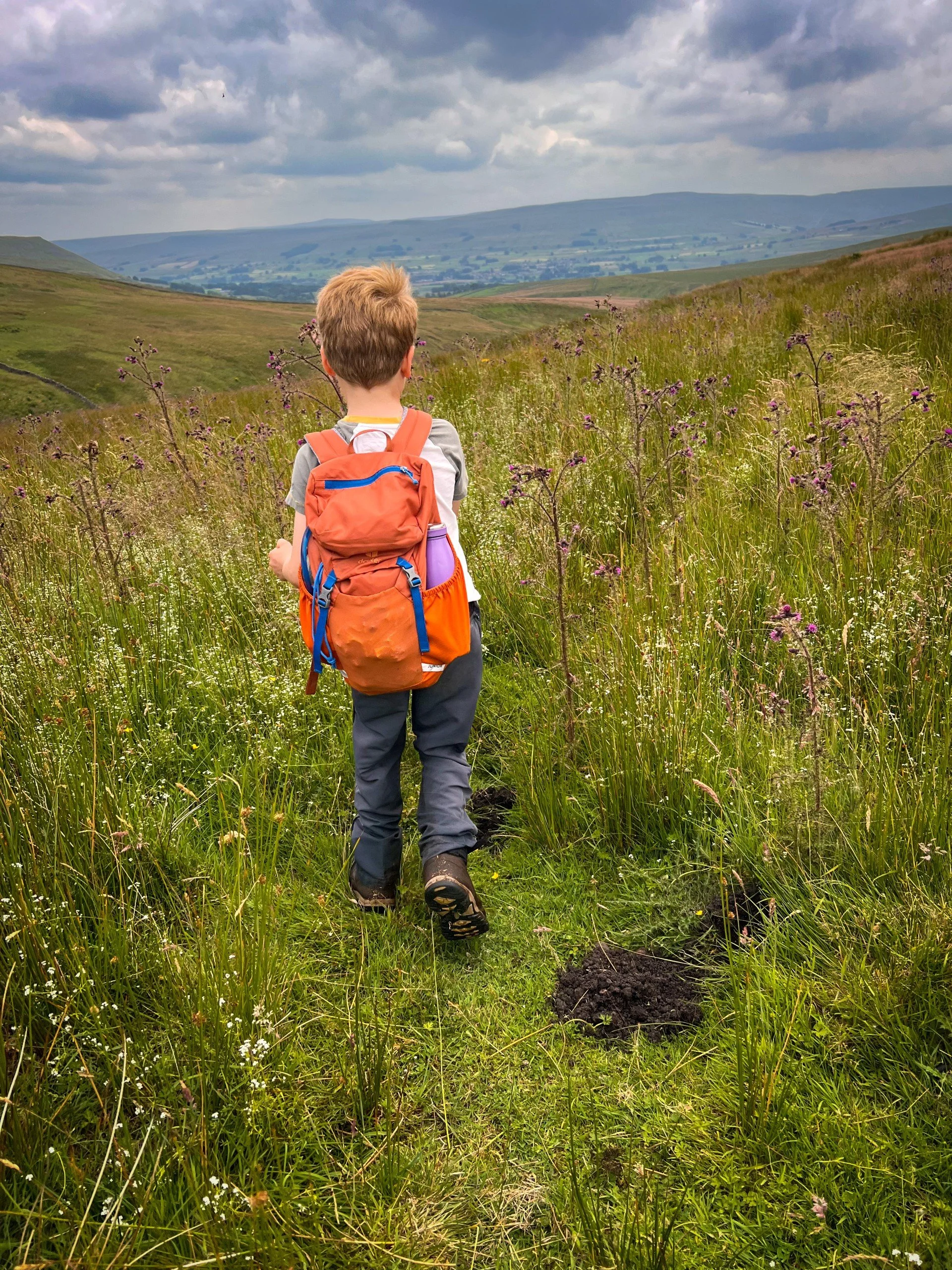
The ‘bridleway’. Not an easy ride when you’re 8.
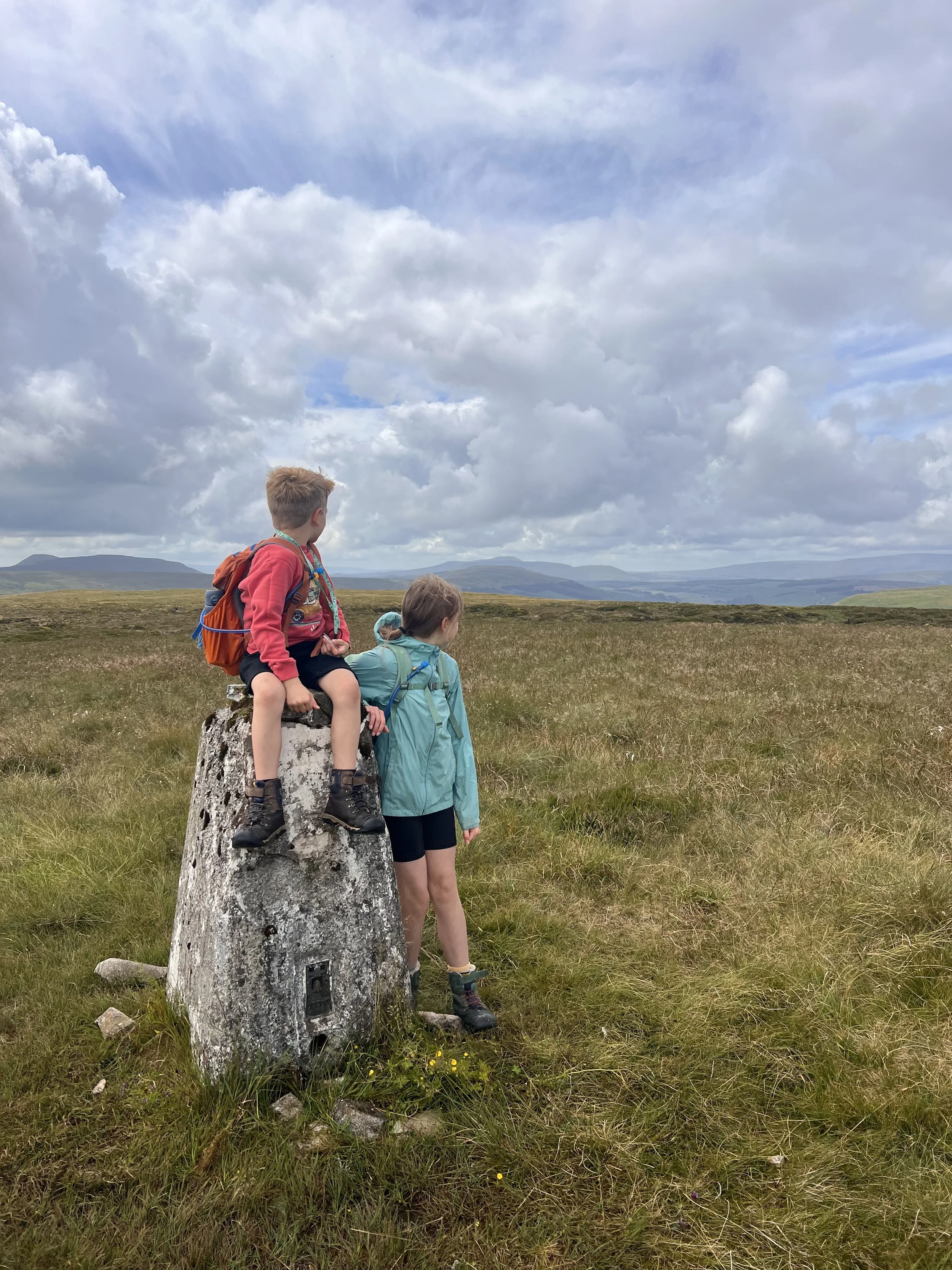
Yockenthwaite Moor
26/7/2024
Bring on the Hags
Yockenthwaite Moor
Not going to lie, this one was not tickling my enthusiasm tastebuds! I’d researched all of the peaks when I was planning the challenge and I’ll admit Yockenthwaite Moor did not fill me with any enthusiasm at all.
I’d read about peat hags, extensive bog and lack of any kind of path and that just felt like a LOT to deal with! So we left it until the Summer (of a pretty wet and cold year) when we’d not had rain for a little while (only a LITTLE while) and we took the shortest out and back I could find.
Yockenthwaite Moor felt moor like a mission with a purpose than a walk. But do you know what…? I didn’t hate it!
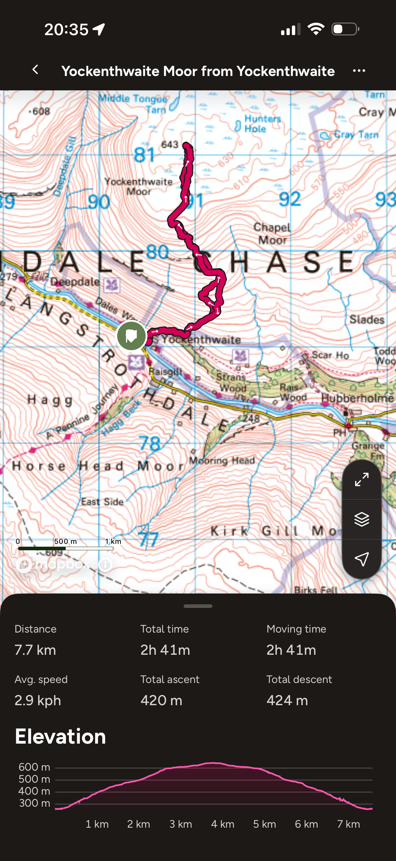
Yockenthwaite Moor Route
Ok, let’s just move on past Great Shunner shall we?
This one I had no great hopes for, but actually really enjoyed. It was almost entirely off path, and some of the going underfoot was tiring, but it wasn’t too bad. And I was expecting bad.
Peat hags are also weird. I’ve actually (and rather randomly) read up a bit on bogs. Whilst we curse them and find them annoying, they’re actually wonderful things. Clever things. And they/re a part of out planet that need to be cared for. They contain more Carbon the ALL of the world’s forests combined and they only cover 3% of the world.
So I say, be more bog.
From my reading is seems like the existence of ‘peat hags’ is down to the human influence on the bog. Peat was used for fuel and commercially for gardens, so the cutting of the peat from the moor was commonplace. It’s not any more though, and we are left with a little insight into people’s impact on the world and how long that impact takes to restore.
Peat is created through the decay of mosses and plant life over thousands of years… it’s a good job we stopped blummin cutting the stuff out!
Anyway. The peat hags of Yockenthwaite remain pretty epic. They are ENOURMOUS in places and I would 100% not tackle this walk in any other season unless it’s been ridiculously dry.
At least it wasn’t boring eh?
I would recommend this route up Yockenthwaite. It’s short and it keeps the arduous bog hopping to a minimum. Plus I love Langstrothdale, and would highly recommend the George Inn if you are in the area! The kids love the dog there!
Image is copyright of Ordnance Survey
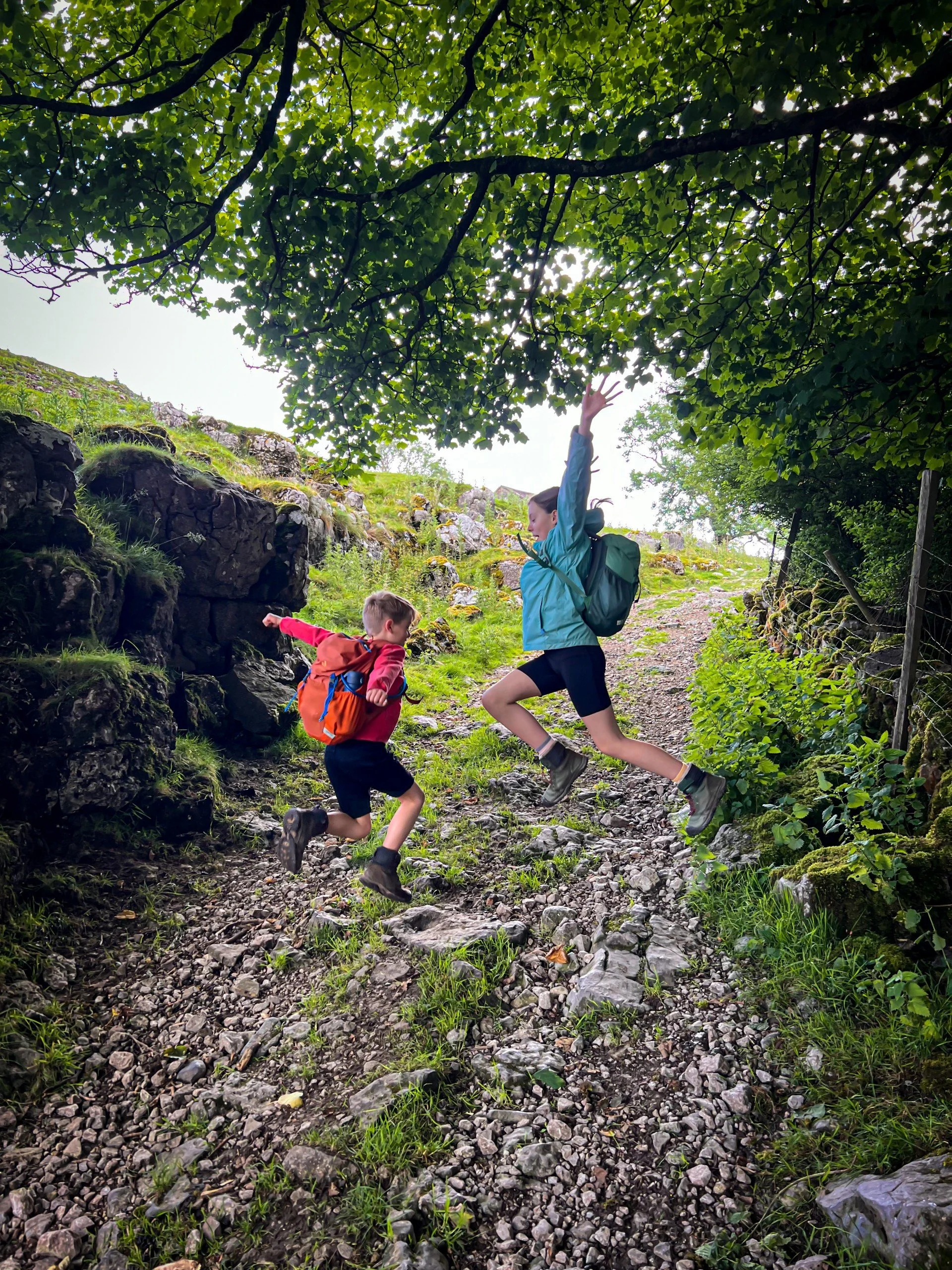
The path up (and down for that matter!) This is the clear and obvious bit… the rest is left up to you!
Yockenthwaite Moor Challenge Facts
Distance Walked: 7.7km
Total time spent walking: 2 hours 41 minutes
Yockenthwaite Summit Height: 643m
Total Actual Ascent: 420m
Ranked: 29th in the Yorkshire Dales
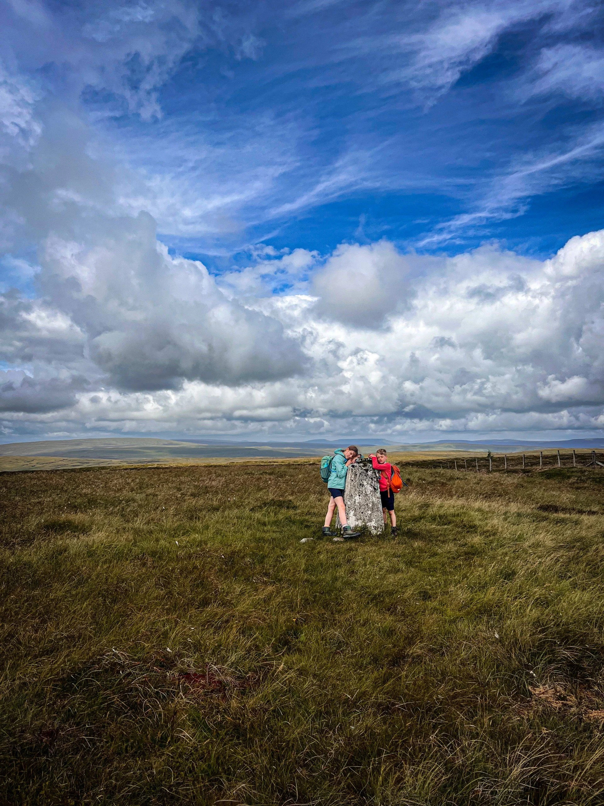
The Yockenthwaite Moor trig point
The route up from Yockenthwaite. I’d say path, but there is none!
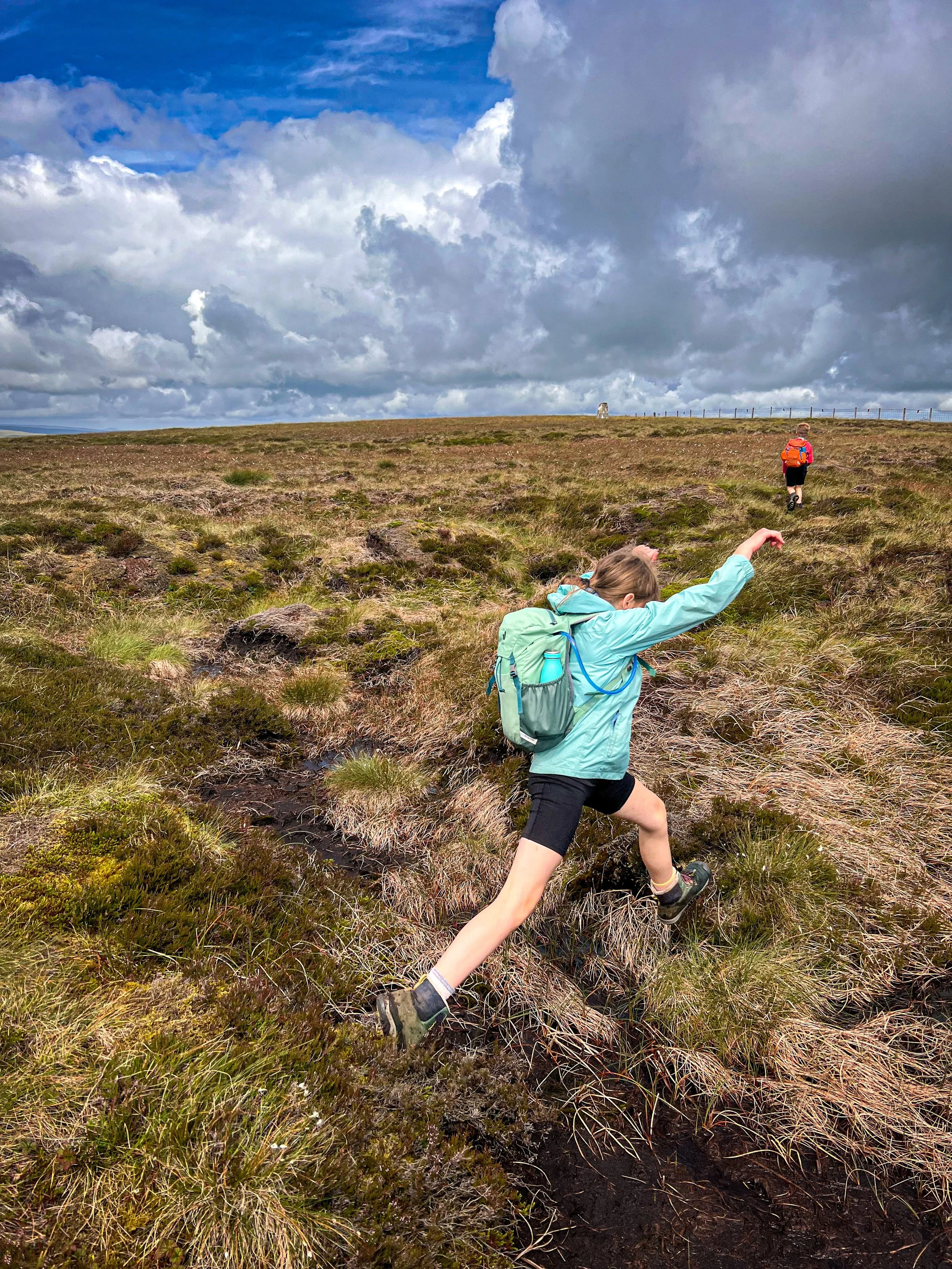
Leaping over some of the bog
Scroll using the arrows for all our Family Friendly Walks
-
![Swimming in Janet's Foss Yorkshire Dales]()
Waterfall Walks
-
![Malham cove walk for kids]()
Pushchair Friendly
-
![Pinhaw Beacon trig point walk near Skipton]()
Peak Bagging Walks
-
![The Park at Greenhow Nidderdale]()
Walks with Play Parks
-
![Gordale Scar in Malham Yorkshire Dales]()
Organised by Location
-
![Walking in the woodland in Wensleydale]()
Woodland Walks
-
![Playing on the shore of Embsay Reservoir Yorkshire Dales]()
Reservoir Walks
-
![The ruins of Bolton Abbey]()
Bolton Abbey Estate Walks
-
![Leaping over the stile at Almscliffe Crag]()
Walks Under 2 Miles
-
![Child walking into a pub in Appletreewick]()
Walks with Pubs and Cafes





Follow us for up to date Outdoors Adventures!
We live and BREATHE the Yorkshire Dales outdoors life!
BEEN INSPIRED? Tag us @reluctantexplorers
Come follow our journey over on Instagram and Facebook where you’ll find up to date walk info, breaking news on Yorkshire Events, new Yorkshire Dales wild swim spots, climbing, caves and more!


Follow us on Social Media for all the up to date info: @thereluctantexplorers