The Yorkshire Dales Mountain Challenge
Your Guide for Completing the Dales Mountains with the Kids
Does the Yorkshire Dales even HAVE proper mountains?
Yes. Yes it does. Whilst you may be forgiven for underestimating the challenges presented in climbing all of the Yorkshire Dales mountains, they very much feature in the Yorkshire Dales National Park.
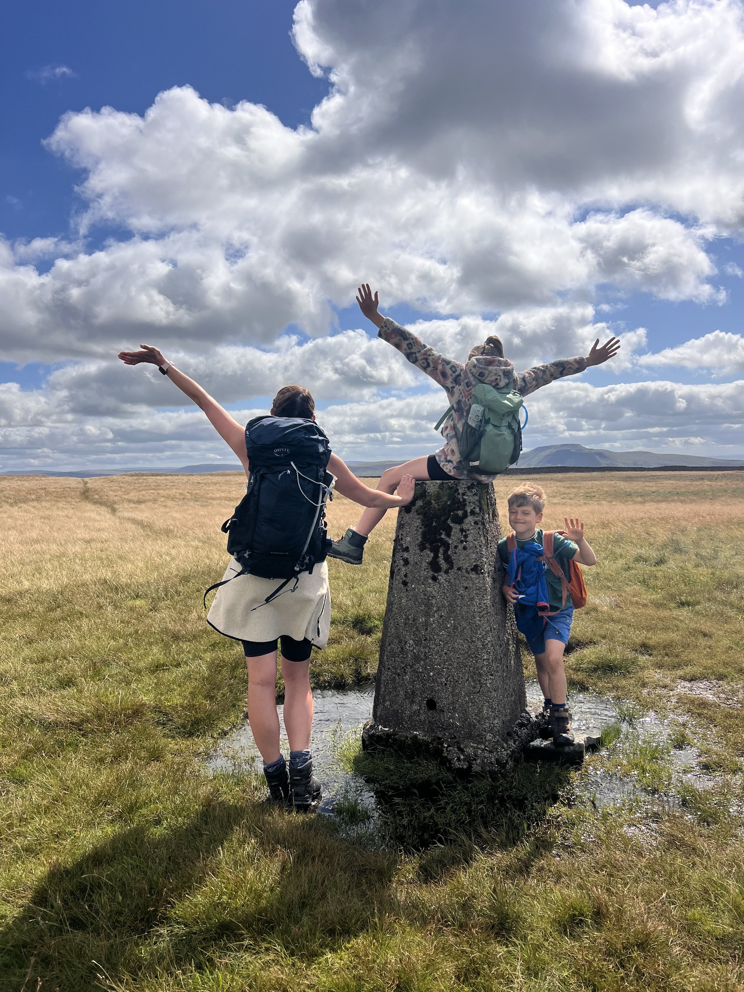
The question is, would you challenge yourself and the children (at the time aged 8 & 10) to climb all of them in one year? Because that’s exactly what I did, and I VERY much underestimated the unique challenge that these mountains presented.
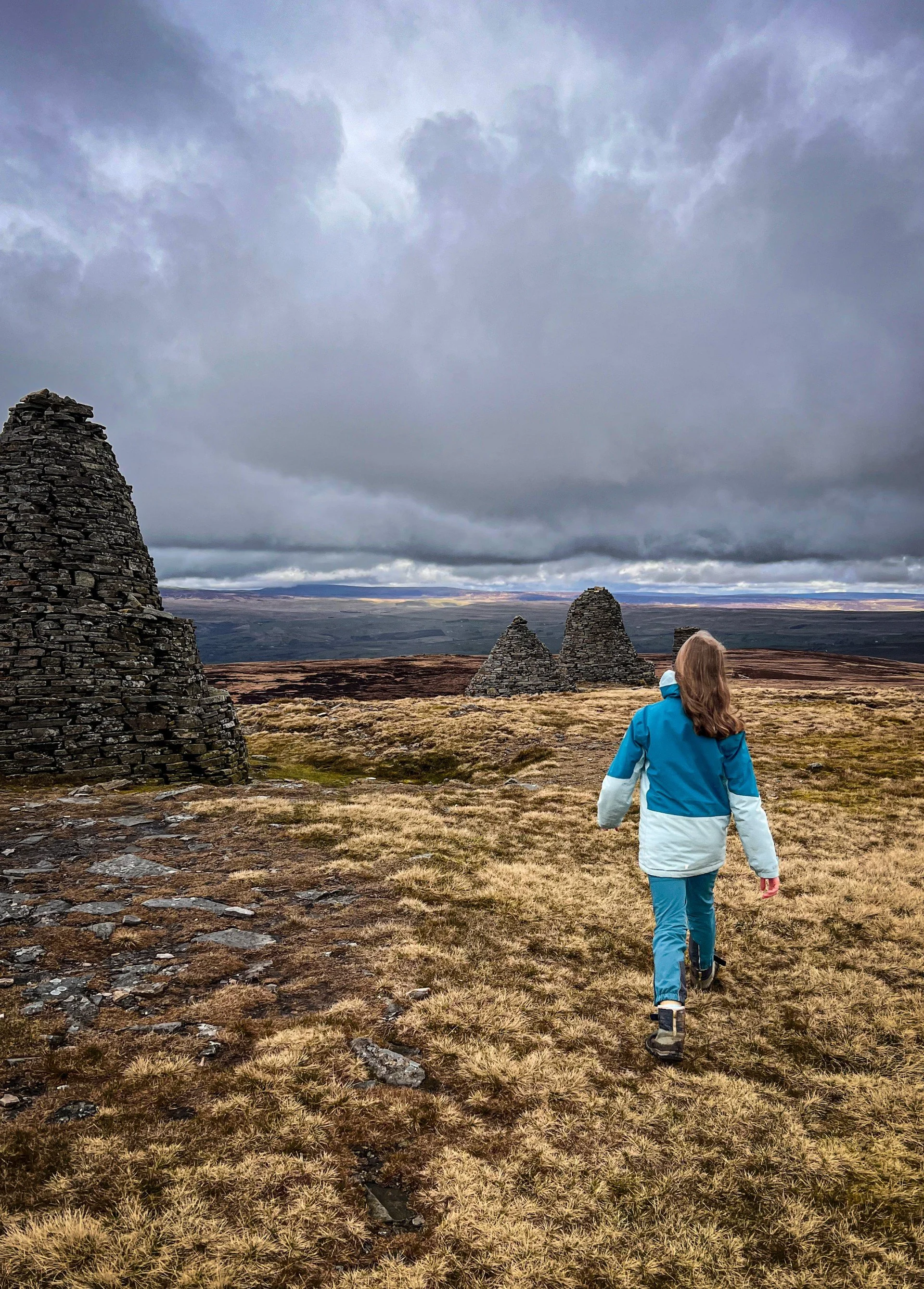
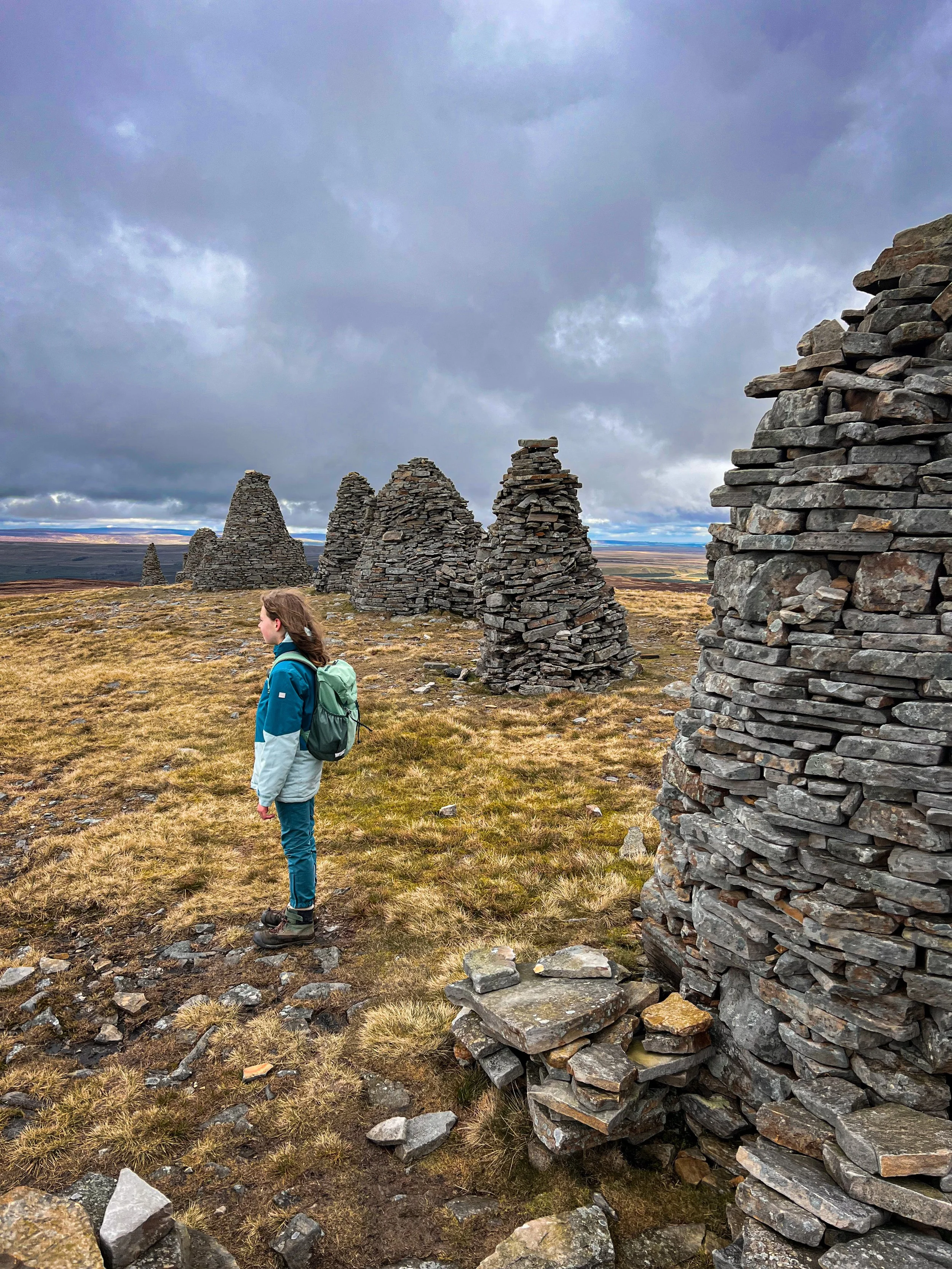
Think up a mountain image in your head, and I’ll bet you’re thinking of a pointy rocky ridged affair that looks like it’s part of the Himalayas, NOT a wide expanse of grassy moorland. Am I right? Because the nature of these Yorkshire (and Cumbrian… more of that later) beasts is very different to your stereotypical picture book mountain.
Yes, when I claimed we could absolutely bag these beauties in a year I had no idea what I was letting ourselves in for, which is precisely why I have created this handy guide for you, in case you are as confidently crazy as me.
How does the guide work?
There are a fair few mountains in the Dales, so the guide to climbing them with the Kids has been split into three rough sections. Each section takes you through the experiences we had, what we learned along the way, it gives you a link to our walked route on Ordnance Survey’s map app and it gives you the facts about each mountain.
It is a GUIDE and not an expert dictation of how the challenge should be done. We wouldn’t approach some of the walks again in the same way, but each one was a success (unless I’ve clearly flagged otherwise… Great Shunner, I’m looking at you!)
There were a lot of factors at play that affected how some walks were… well, walked. So the guide should not replace your own adventure planning!
And this bit?
Well this is all the need to know stuff about the challenge before you even begin!
Skip Straight to the Mountains
Tap the buttons to head straight to each instalment of the mountain challenge.
Where to even Begin
How we decided which mountains to climb.
Let’s start at the very beginning. What’s a mountain?
The way ‘mountains’ are defined is very much a grey area. In fact it was a topic of an hour long debate when I was undertaking my Hill & Moorland leader training. It is not clear cut at ALL and is probably why we ended up completing the very random number of 41 mountains. A mountain is roughly defined as being an elevation of 610m or more, and it has to have prominence. Basically it needs to stick out a bit, have a bit of mountain character and as you’ll see below, there are a fair few school of thoughts as to how ‘sticky outy’ it actually needs to be.
What about moorland? There’s certainly plenty of that around in the Yorkshire Dales. That’s described as being wide expanses of upland grassland or bog, characterised by stubby shrubs like heather or bilberry, often managed for the purposes of shooting.
The Yorkshire Dales smashes mountains and moorland together to make one big ambiguous jumble! So where did we begin?
Well, with the saviours of the mountain confused…. John and Anne Nuttall and their guide to the Mountains of England and Wales. They provide a handy list of 39 mountains (all over 610m with an elevation of 15m each side) in the area of the Yorkshire Dales National Park. EASY I hear you say…. except.
There is also, the Dales 30. A book written by Jonathan Smith which shaves 9 off the total of Nuttalls and opts to do the Hewitts categorisation of mountains (which is 610m and with a 30m drop on each side - see, a bit MORE sticky-outy).
THEN… I did a bit more research (thank you Google) and I found a list which included 41 mountains in the Yorkshire Dales (disagreeing with the eminent Nuttalls and Hewitts) and adding in a couple more Howgills into the mix. (Source: The Walking Englishman)
I mean, can ANYBODY decide how many mountains there are? Apparently not.
Ultimately, we opted for the 41 Mountains. For fear of missing one out and somebody changing their mind.
So 41 Mountains were selected… now came the hardest bit. How to reach them in Kid-Sized walks.
The Route Planning
The challenges presented by doing this challenge with the kids
What’s so tricky about planning these routes?
Luckily for the kids, I am a huge map nerd and am in general obsessive about hiking and creating new family routes… (Sorry, I mean UN-luckily for the kids…)
But after deciding to take on the challenge one thing very quickly became apparent. Almost every mountain in the Yorkshire Dales is a really long way away! The Nuttalls have a super handy guide if you are wishing to tackle these as an actual grown up human, but there is nothing to help you to do this with the kids.
Here are the specific challenges presented by doing this with the family.
1. Sometimes kids like to walk at a pace resembling that of a geriatric tortoise, thereby making a long walk even blummin’ longer.
2. Whilst the kids can handle long challenging walks, some of the terrain encountered underfoot adds an extra exhaustion element. Bogs. I’m talking about bogs.
3. Winter hiking is a challenge in itself and with minimal daylight hours and extreme weather working against us in accessing some of the most remote parts of the Dales, winter was HARD work, although iced up bogs are far better than good old rest of the year round bog, bogs.
4. Weather, in particular wind. The year we took on the challenge felt like it was the windiest of years on record. I’m sure it wasn’t but with kids sometimes precariously perched on a really high place? Well wind is one type of weather I wasn’t prepared to mess about with and we had a lot of wind-based postponement. But not just at the risk of being blown over sideways, or worse into the distance. No, the prospect of a 10+ mile hike with the kids in the cold, wet and wind is just not going to work (and I actually did test that theory when I foolishly decided to push my luck… but that story will come!)
And so in summary, I decided to shorten the walks for the win. Which also wasn’t that easy, and meant that I had to give up on the holy grail of all walks, the satisfying circular. I know, it’s sad but true.
A unique Dales problem…
Summer.
The best time of year for hiking mountains, with long daylight hours, warm (ish) weather, and sometimes a glimpse of sun.
But it’s also hunting season.
And a lot of these walks are on managed moorland (in particular the Wensleydale/ Swaledale area).
Where they close areas of the moorland off on selected - and tricky to predict unless you are local - days. One to bear in mind when you are planning, but I’ll flag them as we go through!
What Kit We Carried
Here’s what we brought with us every time
Here’s what we carried, dependant on season
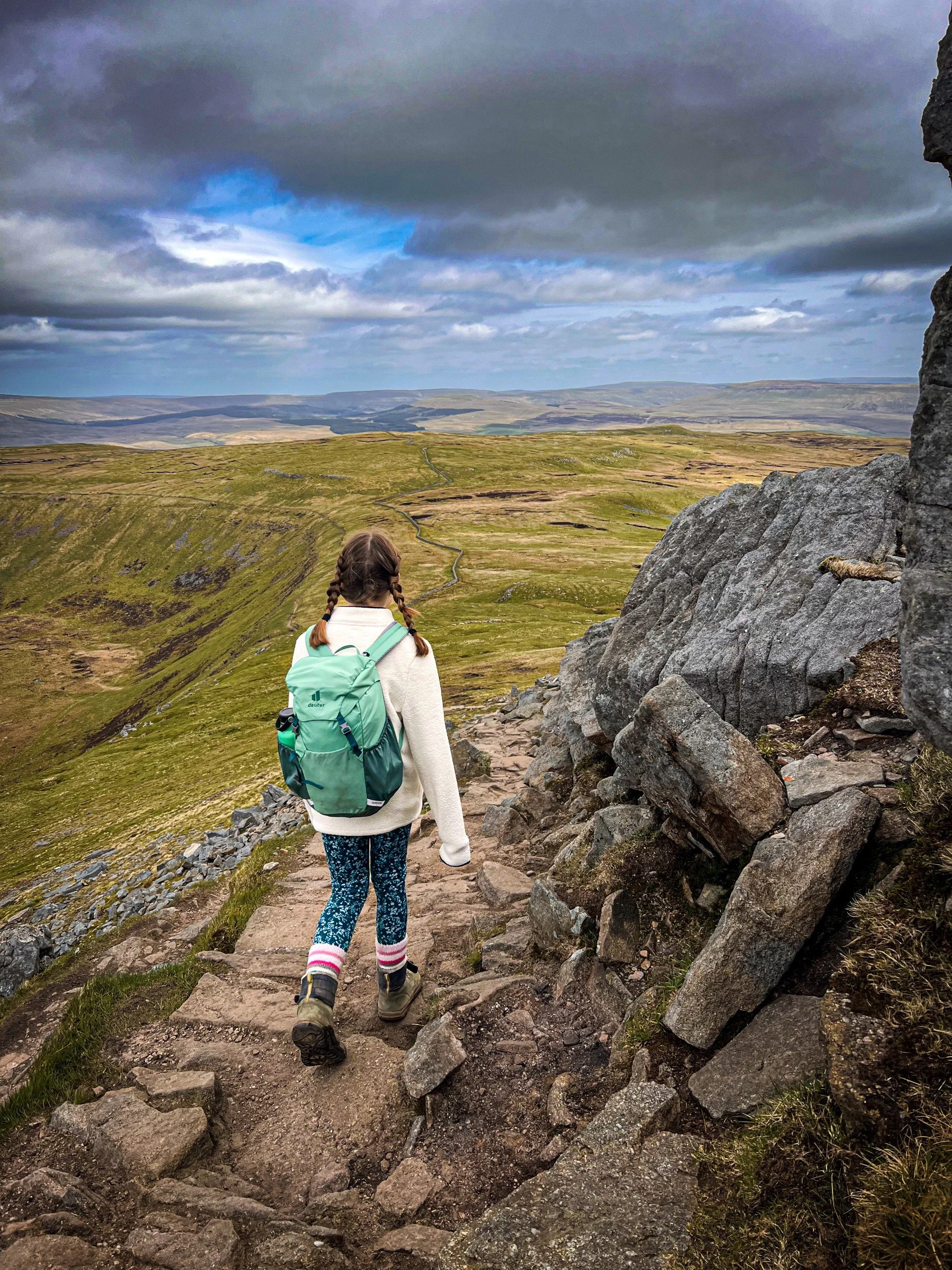
The Kids carry their own 18 Litre rucksacks.
Summer:
Walking Boots
Lightweight Trousers/ Leggings/ Shorts
Short sleeved base Layer (sometimes long, it can still be cold on the tops in July!)
Mid Layer, fleece
Waterproof Jackets and Trousers
2 x Spare Walking Socks and light leggings (for the now not frozen anymore bogs)
Sun hats
Sunglasses
Food and Drink
SNACKS (obviously)
More food than you think you need.
2l Hydration Packs
Squash (and in winter a hot sweet drink)
Safety
Full Outdoor Emergency First Aid Kit including tick removal tool (including more than just plasters and antiseptic!) I am outdoor first aid trained so have a complete kit, but at a minimum I would recommend (as well as plasters and antiseptic) triangular bandage and safety pins for slings, bandages, dressings, tape, shears for bandages, antiseptic wipes, gloves and scissors as well as a tick removal tool. I also carry Calpol tablets for pain relief (as well as adult paracetamol), emergency blanket - top tip, tuck that UNDERNEATH fleece layers and with a jacket on top otherwise it won’t work and an emergency bivvy bag.
If you invest in a decent mountain first aid kit, then they should have all the basics in place, then you can add any extras needed to it. For expert advice, check out the British Mountaineering Council’s page.
Emergency Shelter large enough for us all (even if it’s just to eat sandwiches in when it’s raining!)
Suncream
Insect Repellent
Head Torches for all and batteries even in Summer
Navigation
OS Maps app.
Charged battery pack, plus cables and spare.
Map and Compass (and the knowledge of how to use them!) in a waterproof case.
Additional Winter Kit
Micro Spikes. Crampons would be handy if necessary, but the terrain we were tackling meant that micro-spikes worked for us when we needed them. If you want to know the difference between the two and when to use then head to the BMC’s handy explanation.
Thermal Base Layers (sweat wicking - you don’t want them to get cold in damp base layers) Merino wool is pricey but is great.
Fleece mid Layer (plus extra if it’s very cold)
Insulated down/ loft Jackets
Waterproof Shell
Thermal Base Leggings
Walking Trousers
Waterproof Trouser overs
Gloves, ideally warm liners with waterproof outers.
Neck gaitor/ buff that you can pull up over noses to combat wind chill.
Warm beanies.
MORE spares (including trousers and REALLY go for it on the socks!)
Check the Weather!
Mountain Weather in particular for these adventures. I take a few forecasts and will check for the days running up to look at trends beginning to emerge, particularly in unsettled periods of weather.
MWIS (Mountain Weather Information Service) is a great place to begin, combine that with the Met Office mountain forecast. I also use the Mountain Weather App which can give you an idea about individual mountains. OOH and remember to check out the wind chill. It’s often overlooked and I’ve fallen foul of that before!
For more safety information and advice check out our dedicated page which will direct you to the experts in this (for I am not!) Remember that tops are colder than bottoms and wind speed increases with altitude.