
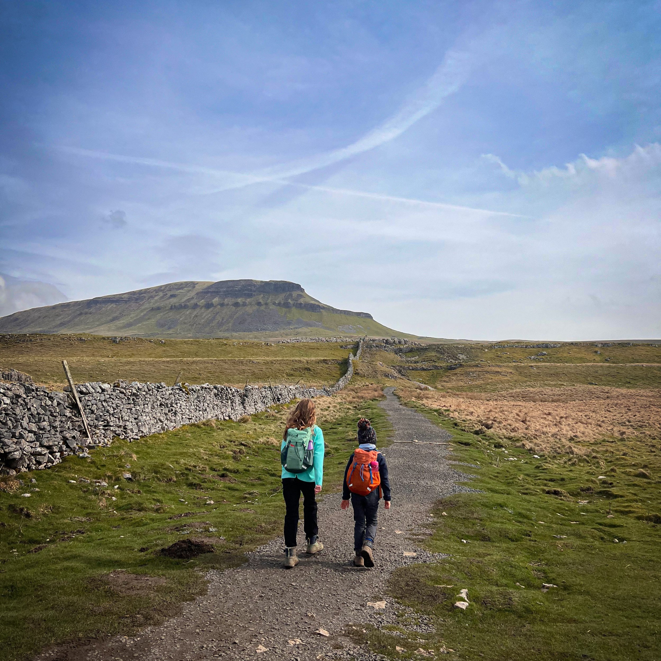
The Yorkshire Three Peaks
How to Climb them with the Kids

Whernside, Ingleborough and Pen y Ghent form the Yorkshire Three Peaks
If you’ve headed up to the Yorkshire Dales, you will have undoubtedly have heard of the Yorkshire Three Peaks Challenge. A walk that involves nearly 24 miles of hiking combined with around 1600 metres of ascent, this challenge is a tough one that thousands of grown ups attempt every year.
And I am not saying you should attempt it with the kids (unless you want to of course)
But after a LOT of research, route planning and reccying I have come up with three family friendly routes up each of the Yorkshire Three Peaks for you to try at your leisure!
Why not set yourself a bitesize Yorkshire Three Peaks Family Friendly Challenge?
Whilst tackling them all in the same day is probably off the card for most kids, why not see if you can challenge yourself to do three in three days, or all three in two days? With the town of Settle and the village of Ingleton offering plenty of super accommodation or campsite opportunities, it could be an excellent Summer holiday challenge!
But if you’re after a full guide as to how to do the full Y3P Challenge, 24 miles, 3 peaks within 12 hours?
Then you can read all about it! Because we only went and blummin did it! 10 hours and 48 minutes, 24 miles and the Yorkshire Three Peaks Challenge DONE! So of course, we’ve rounded up our advice, tips and what on earth happened on the day in our Doing the Yorkshire Dales Three Peaks Challenge with Kids blog!

The Yorkshire Dales Three Peaks Challenge
The Blog
3 Peaks, 24 miles and all in 10 hours and 48 minutes. Find out more about the epic challenge by reading the blog!
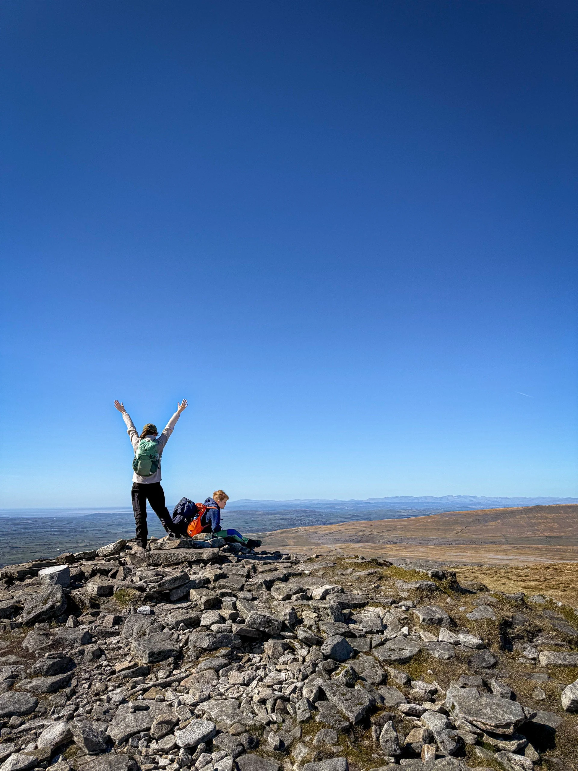
The Star Guides
Each of our has been walked by our own 6 feet (in the sense of us being three actual humans, not in a kind of weird monster-like way!) Often, they have been walked several times and sometimes, they have been walked so often that they have been added to. This website has been growing alongside the OG Reluctant Explorers and now they can handle a little bit more - maybe yours can too.
I will say. As parents we know our kids better than anybody. I have done my best to include as much information as I can in each individual walk, so you can make your own judgement as a family. So the star ratings are just a guide to get you started.
⭐ Little Monkeys:
Walks suitable for younger children up to preschool (and beyond!) Shorter length walks with occasional pushchair access, no technical or tricky terrain. Perfect for those who are just getting out of the pushchair (and then back in again… and then back out…. and then… you know how it goes!)
⭐⭐ Little Adventurers:
Walks suitable for pre-schoolers and younger kids. Medium length/ difficulty walks. In these walks, there may be some more challenging terrain, but they are still fairly short.
⭐⭐⭐ Superstar Hikers:
Walks suitable for older children. Not necessary longer length, but they are more technically challenging in the terrain, and on occasion the distance as well.
The Walk Emojis
I’m renowned for a heavy used of emojis in my regular life, so why on EARTH should my website be any different?! Here is a guide as to what they all stand for.
Essentially, it’s a brief look at what you can expect from the walk, but in emoji form. (I’m campaigning for a pram emoji. It would make my pushchair friendly walk life MUCH easier.)
👶 Suitable for Pushchairs (see? no pram emoji)
🎒 Suitable for Carriers (that’s a rucksack, not a weird satchel. Closest thing to a kid carrier I could find!)
🚘 Car Park/ On Street Parking (plain sailing there - all of our walks have places to park, although if possible try….
🚌 Public Transport (PLEASE! To try and alleviate parking problems and to just in general be an excellent egg.)
🐶 Dog Friendly (plenty of those!)
🥾 Sturdy Footwear or Wellies (I’d say for most, walking shoes/ boots, for some, wellies)
🛝 A park or play area (I try my hardest to find one, or at least tell you where the nearest one is!)
🦆 Ducks to Feed (bring your duck food!)
🍦 Ice Cream! For Ice cream is truly a WONDERFUL addition to a family walk!
☕ As is coffee (for the adults obviously - I’m not going to subject you to a caffeine fuelled reluctant explorer THE HORROR!) This one means you can find coffee, tea or hot chocolate (ok - that one’s for the WHOLE family!)
🍻 Because I know how a family walk can go, you’ll be relieved to know that I’ll also tell you if there’s a pub at the end!
💦 Water play/ paddle/ swim (Check out our advice on Wild Swimming with Kids and the RLSS Water Safety info)
✨📚 Cool history, geology, something blummin’ awesome to talk about.
👻 Legendary Story. Ghosts, horrible history, witches and trolls!
🌳 Walking Games - they all have these!
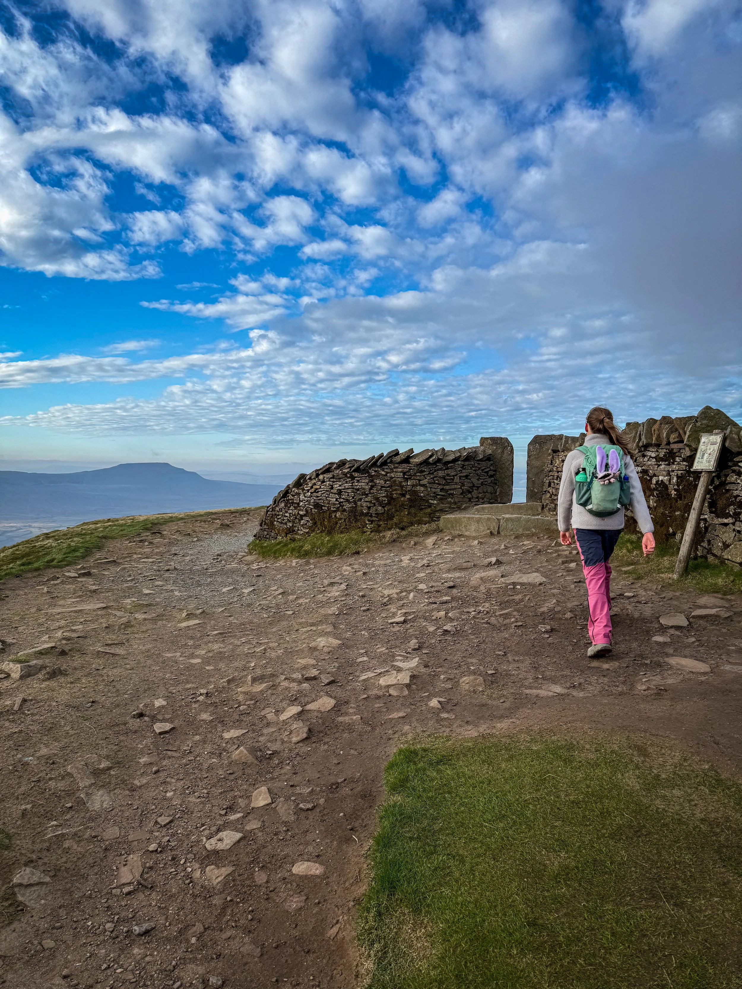
Whernside
📍 Ribblehead, Yorkshire Dales National Park
⭐⭐⭐ Superstar Hikers
📏 Circular walk, 8.5 miles
🥾🎒🚘👻🍦🍻💦🌳🚌🐶
Whernside is the largest peak in the Yorkshire Dales National Park and it is a fantastic achievement for a budding peak bagger!
But this route, well it won’t take you the Yorkshire Three Peaks way. We think this route is better for kids, avoiding the steep and often slippery descent, oh and you might be lucky enough to get the ice cream van at the bottom of the climb too!

Pen y ghent and Hull Pot
📍 Horton in Ribblesdale, Yorkshire Dales National Park
⭐⭐⭐ Superstar Hikers
📏 Circular walk 7.5 miles
🥾🎒🚘💦🌳🛝🐶 🚌✨
Pen y ghent may be the smallest of the Yorkshire Three Peaks, but it is my favourite of the three!
This family friendly route up Pen y ghent tackles the small scramble on the ascent, which we think is much better than tackling it the other way round! You can also take a detour to Hull Pot too and after heavy rain, you might catch it in full flow too!

Ingleborough
📍 Ingleton or Clapham, Yorkshire Dales National Park
⭐⭐⭐ Superstar Hikers
📏 Linear walk 7 miles - Alternative longer circular is 10 miles
🥾🎒🚘🌳☕🍦🍻🛝👻🐶 🚌✨
Ingleborough takes second place to Whernside in the highest peaks in the Yorkshire Dales, but it is truly legendary (and I mean in a literal sense).
There is so much to learn about Ingleborough, so the conversations will never run dry!
And both options end up with the play park too (if you have the energy).

The Yorkshire Dales Three Peaks
The Blog
Find out why we have chose the routes we have, along with tips and places to try whilst doing the walks
Helpful Information!
For more helpful information head to our safety tips and advice page.
⭐ We hope you enjoy our walks, but please exercise common sense as routes can change with the weather conditions and seasons! The routes have been walked by our own two feet, but you know your own limits. Always take a back-up map, don’t rely on GPS alone, wear appropriate clothing for the weather and take adequate snacks and refreshments with you (although as a parent, I know you already know that bit!)
⭐ Leave no trace! Take nothing away and leave nothing behind, take all rubbish home with you.
⭐ If you choose to paddle, be aware of bio security. Always wear clean dry water shoes (if worn) to avoid cross contamination of species between watercourses, this is a particular issue in the Yorkshire Dales, to help protect the white clawed crayfish.
⭐ If you decide to paddle, be aware that wild water can be dangerous, and water levels will vary season to season. Always supervise children around water. Check out the safety information on the Royal Life Saving Society website.

Something in mind? Search our full site!
(e.g. search: Gaping Gill Winch, Kettlewell etc.)
All our Family Friendly Walks on One Map!
What’s that I see? A MAP!?
Yes, that’s right, you guys asked, and here it is. The map of ALL the Reluctant Explorers family walks!
The one you can see is embedded so you can use it straight from the website, or if you’d prefer, you can view it straight in Google Maps, simple tap the link on the button below.
The benefit of using it directly from the website is that when you tap on each individual walk, you will find the page link to each walk, allowing you to jump straight to the walk information!
The map can be filtered as follows:
Family Walks (purple) | Pushchair Walks (pram) | Waterfall Walks (blue) | Walks Under Two Miles (yellow)
For more types of walks (pub walks, woodland walks etc. Head to the menus above where they are all categorised, depending on what you fancy!)
Scroll using the arrows for all our Family Friendly Walks
-
![Swimming in Janet's Foss Yorkshire Dales]()
Waterfall Walks
-
![Malham cove walk for kids]()
Pushchair Friendly
-
![Pinhaw Beacon trig point walk near Skipton]()
Peak Bagging Walks
-
![The Park at Greenhow Nidderdale]()
Walks with Play Parks
-
![Gordale Scar in Malham Yorkshire Dales]()
Organised by Location
-
![Walking in the woodland in Wensleydale]()
Woodland Walks
-
![Playing on the shore of Embsay Reservoir Yorkshire Dales]()
Reservoir Walks
-
![The ruins of Bolton Abbey]()
Bolton Abbey Estate Walks
-
![Leaping over the stile at Almscliffe Crag]()
Walks Under 2 Miles
-
![Child walking into a pub in Appletreewick]()
Walks with Pubs and Cafes





Follow us for up to date Outdoors Adventures!
We live and BREATHE the Yorkshire Dales outdoors life!
BEEN INSPIRED? Tag us @reluctantexplorers
Come follow our journey over on Instagram and Facebook where you’ll find up to date walk info, breaking news on Yorkshire Events, new Yorkshire Dales wild swim spots, climbing, caves and more!


Follow us on Social Media for all the up to date info: @thereluctantexplorers

Leave No Trace
The Yorkshire Dales is our home, and the home of so many others who care deeply about this beautiful space.
Should you visit, make sure to:
Take home anything you bring, leave no rubbish behind.
Make the world a better place by picking up any rubbish you see, even if it isn’t yours.
Leave everything else as you found it.