
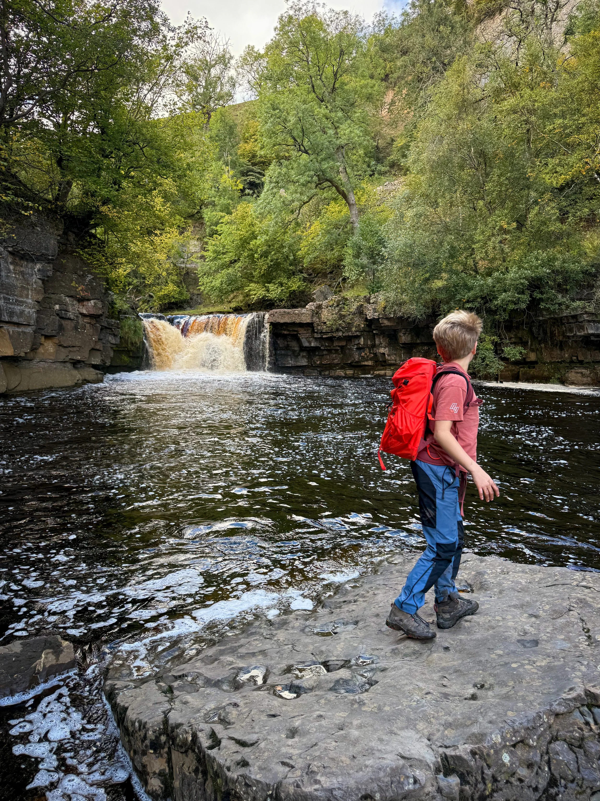
Muker to Keld Circular Walk
WE LOVE SWALEDALE! And this super family friendly Swaledale walk between Muker and Keld is great for the kids!
It may not have a park at the end, but it does have waterfalls, ruins and an EPIC spooky story (whether or not you choose to tell the kids that one is up to you!)
How can you walk from Muker to Keld?
Because the walk between these two stunning Swaledale villages is an absolute Dales classic! This one is suitable for kids, and takes you along the valley floor from Muker, to the waterfall hub of Keld.
If you have landed here and feel like this is a little too far for your own explorer, it can be shortened to just take in Rampsholme Bridge and back. If this one sounds more up your street then check out our Muker circular walk.
The longer route offers waterfalls, the ruins of both the lead mine buildings and an abandoned spooky hamlet. There are spots to grab ice cream in the middle and at the end and for the grown ups an excellent beer garden or cosy firelit pub! If this sounds like it’s up your street, read on for the Muker to Keld circular walk route, map and description.
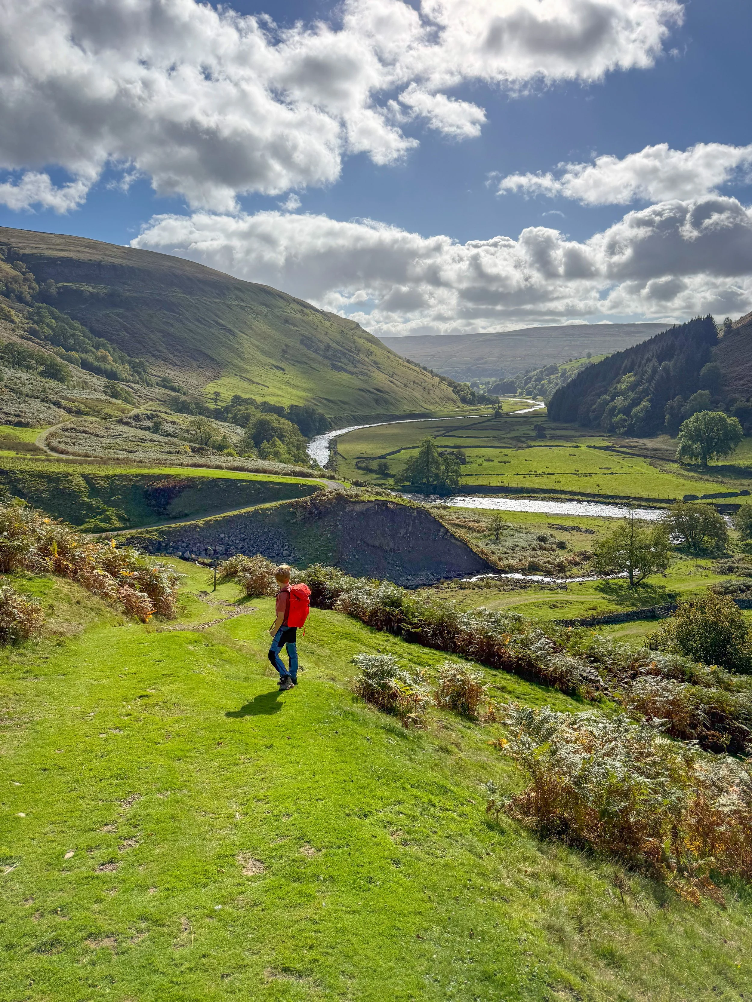
The view from above back towards Muker
Walk Details for Muker to Keld
Distance: 10km (just over 6 miles)
Terrain: Well signposted and trodden routes. To access Kisdon Force is down a very narrow path with exposed drops the final descent to the fall is down permanently muddy bank, there is a rope to help prevent slipping. (Pictures below to help you decide if you can do it - it can be totally avoided if you’d rather not) A small amount of pavement walking through the village at the beginning/end.
Parking: Muker. North Yorkshire Council pay and display. There is some limited on street parking too.
Public Transport: Yes, It is possible to get the bus to Muker. Check out the bus timetable on the Dales Bus Website.
Dog friendly? Yes, dogs to be kept under close control and there are grazing cattle and sheep on this walk.
Location: Muker, Swaledale
Toilets/ Baby Change: There is a toilet at the start of this walk.
Nearest Cafe/ Amenities: The Muker Village Shop, Rukins Campsite Shop and the Farmers Arms pub.
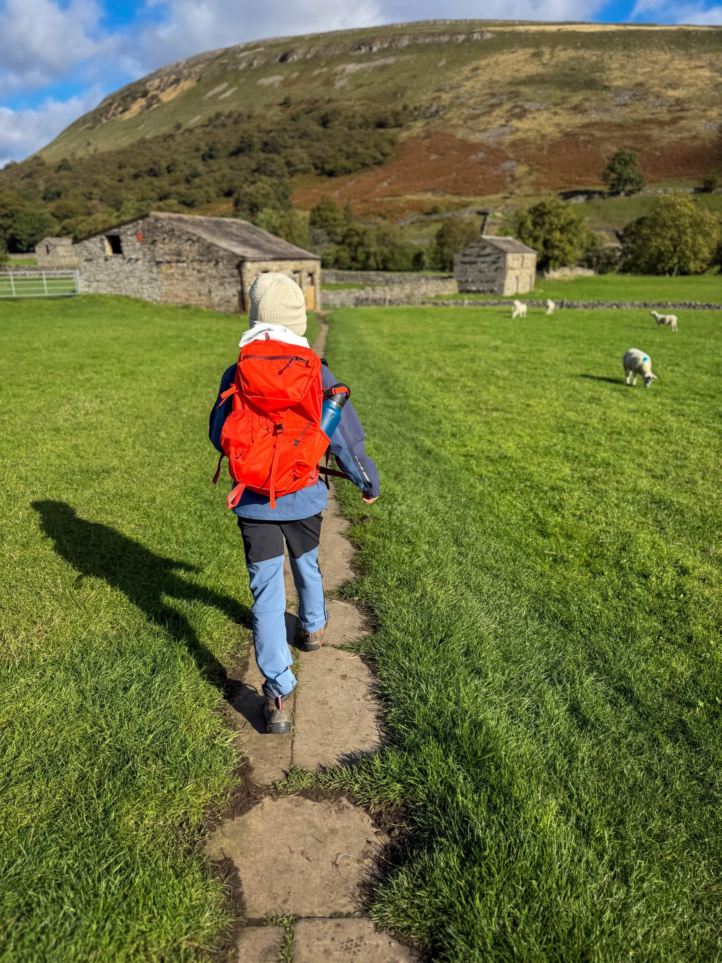
Walking along the path out of Muker. In late Spring these fields are filled with wildflowers.
How to walk to Keld from Muker
Directions to be used in conjunction with a map.
Beginning in the centre of Muker at the village store and with the toilets and main road at your back, take the road to the right which heads uphill towards the church. You’ll shortly see the church and the churchyard on your right.
The lane bends round left. Follow this and then ahead you will see a row of terraced houses. There is road that continues straight on, to the right hand side of the row. This is the one you need to take. A little beyond on a grassy bank, you will see an information board and a signpost. The signpost says ‘Gunnerside Keld meadowland single file please.’ Follow this, and enter the meadows, following the flagged path (pictured)
The path heads through several fields until finally reaching the dry stone wall and river. There are regularly grazing cattle in these fields, so be aware with dogs. At the gate onto the riverside path, you need to turn right. The signpost says Gunnerside and as you turn right you’ll see Rampsholme bridge ahead crossing the river.
Once you reach Rampsholme bridge turn left and cross over the river. On the far side, you can head up or down. Either way, turn left and you will reach the wide and very obvious Coast to Coast route. The river will be to your left and it follows the valley floor.
You will continue along this for approximately 2km (just over a mile), it climbs a little before dropping down to the beck at the bottom of Swinner Gill. Here there is a little waterfall created by a weir, a wooden footbridge, and the ruins of some lead mining buildings, take a wander behind the ruins and you’ll find another pretty waterfall at the foot of the gill.
Cross the bridge and head through the five bar gate on the other side. The path here heads steeply uphill to another gate. Head through this, passing the remains of an old farm vehicle, which has become pretty much part of the scenery here! Here, if you fancy taking a detour to the fascinating Crackpot Hall, you can follow the track to it.
Otherwise continue to follow the wide stony track, as it bends round to the left behind another empty far buildings and then round to the right as it descends to the bridge of the beck. On the other side of the bridge is a new Coast to Coast marker, which marks the half way point of the route, and you need to bear left, heading down the hill. To your left you will be able to hear East Stonesdale waterfall, which is well worth a detour to go and see.
The path descends, bending round to the left and meets a footbridge over the river. To get to the waterfall, simply turn left here and head on upstream before returning to the footbridge.
Cross the bridge and continue up the stone path to the top. Turn left and follow the Coast to Coast path until you see the big sign for Kisdon Force. Here, you have a choice. The path to Kisdon is narrow, muddy and has unguarded drops to the left hand side. It is a little vertigo inducing in places! The final descent to the falls is very muddy and has two large steps down the rock to reach the bottom. There is a rope here that has been put in place to help you access the falls. That said, it isn’t easy, it’s not hugely accessible to younger kids unless they are confident explorers. You can of course bypass this waterfall altogether if you’d rather not, by continuing along the C2C path rather than following the sign to Kisdon.
If you do take the detour, there is a further path to the right of the lower falls which takes you back up to the main path again. Once again, this is very muddy, slippery in places, narrow and is exposed to the left hand side. You know your limits, I’ve tried to give you as much information as I can to help you decide! If you do go, you’ll find two stunning waterfalls, with a large plunge pool for swimming and MASSIVE fossils.
Once you are back on the Coast to Coast path turn left and keep onwards. You will be following this path almost all the way back to Muker. Shortly after leaving Kisdon, you’ll begin to see a series of empty buildings. This is the abandoned hamlet of Hartlakes and it is SUPER spooky (read more about that below.)
Continue to follow the coast to coast route, It loosely follows the River Swale, sometimes closely, sometimes moving away from it, but always in the direction of Muker. The path is obviously a national trail and is very wide and easy to follow.
When you are nearly back to Rampsholme Bridge (you should be able to see it to your left) you will be faced with another farm building. Here, rather than following the path to the left along the river and to the point you were at before, follow the wide grassy track to the right hand side of the farm building. It ascends slightly, before heading through a gate and onto a path following the dry stone wall to your left.
Here the views down the dale are stunning and you’ll see plenty of the Swaledale cow’uses! The lane leads you back into the village, keep left after the final gate and head back towards to the houses of the village. The lane here has horse chestnut trees, which are great for conkers in the Autumn! You will shortly be back in the village where you can either make your way back to the start or to the pub!
Last walked October 2026.
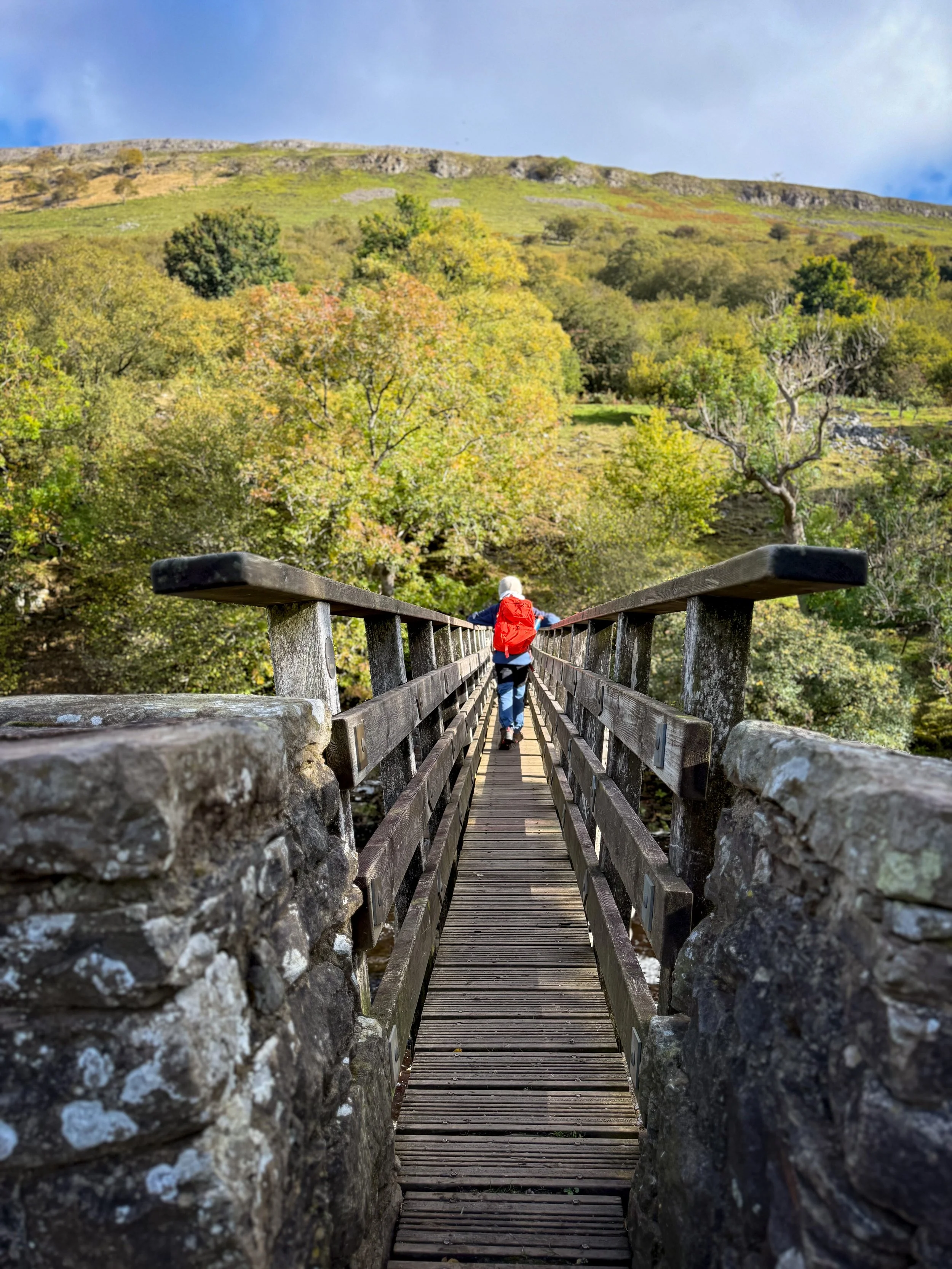
The footbridge at Rampsholme.
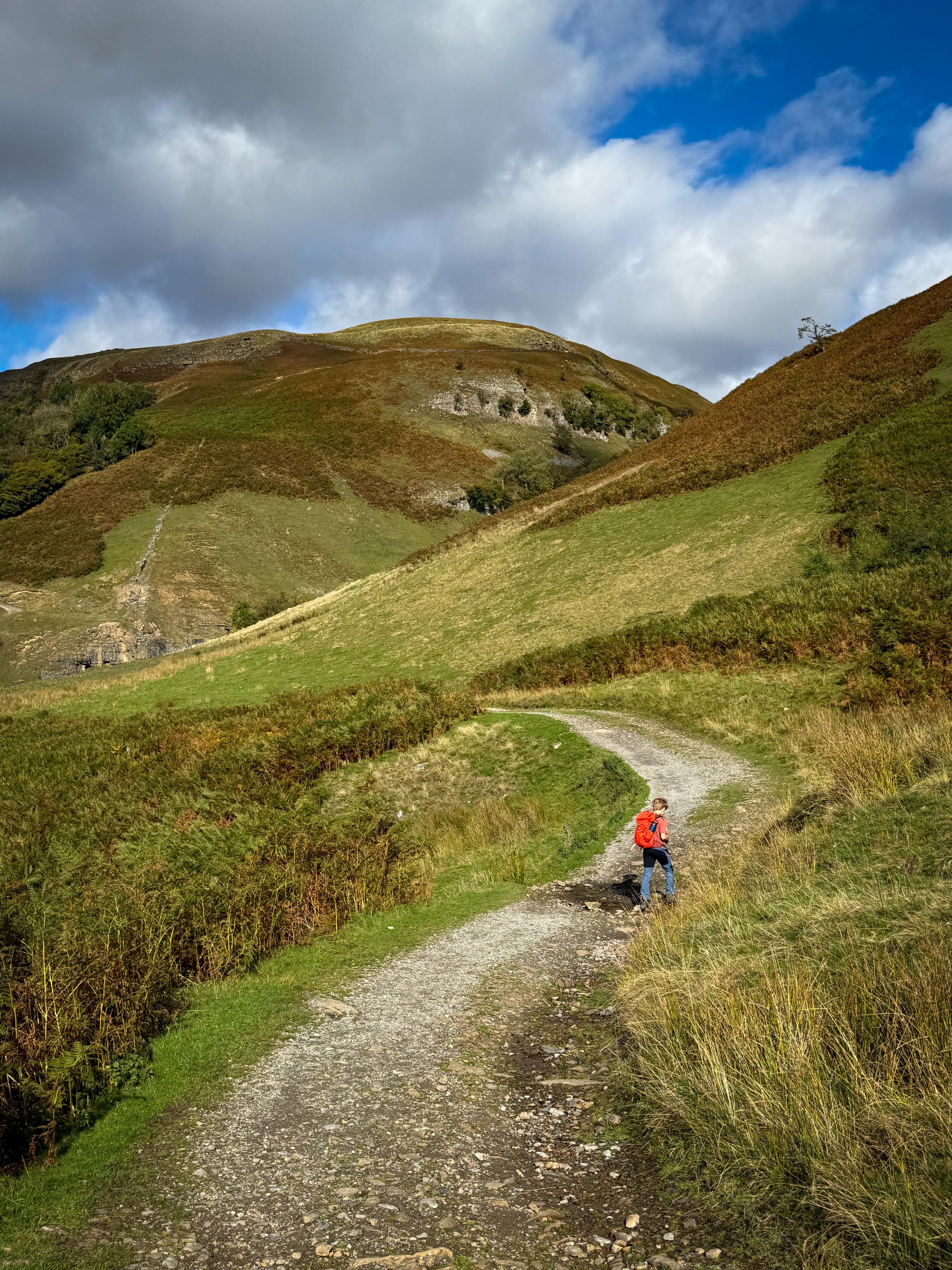
The final section of path before the bottom of Swinner Gill with the ruins of the lead mining buildings in the distance
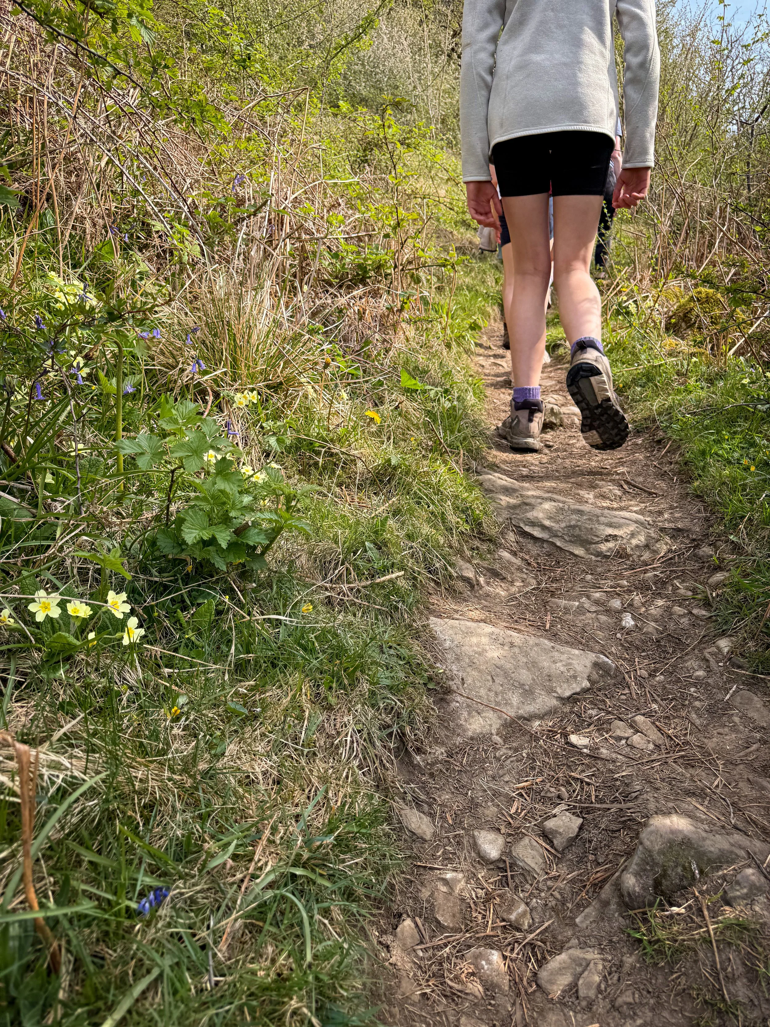
The path through the woods with the wildflowers peeking out.
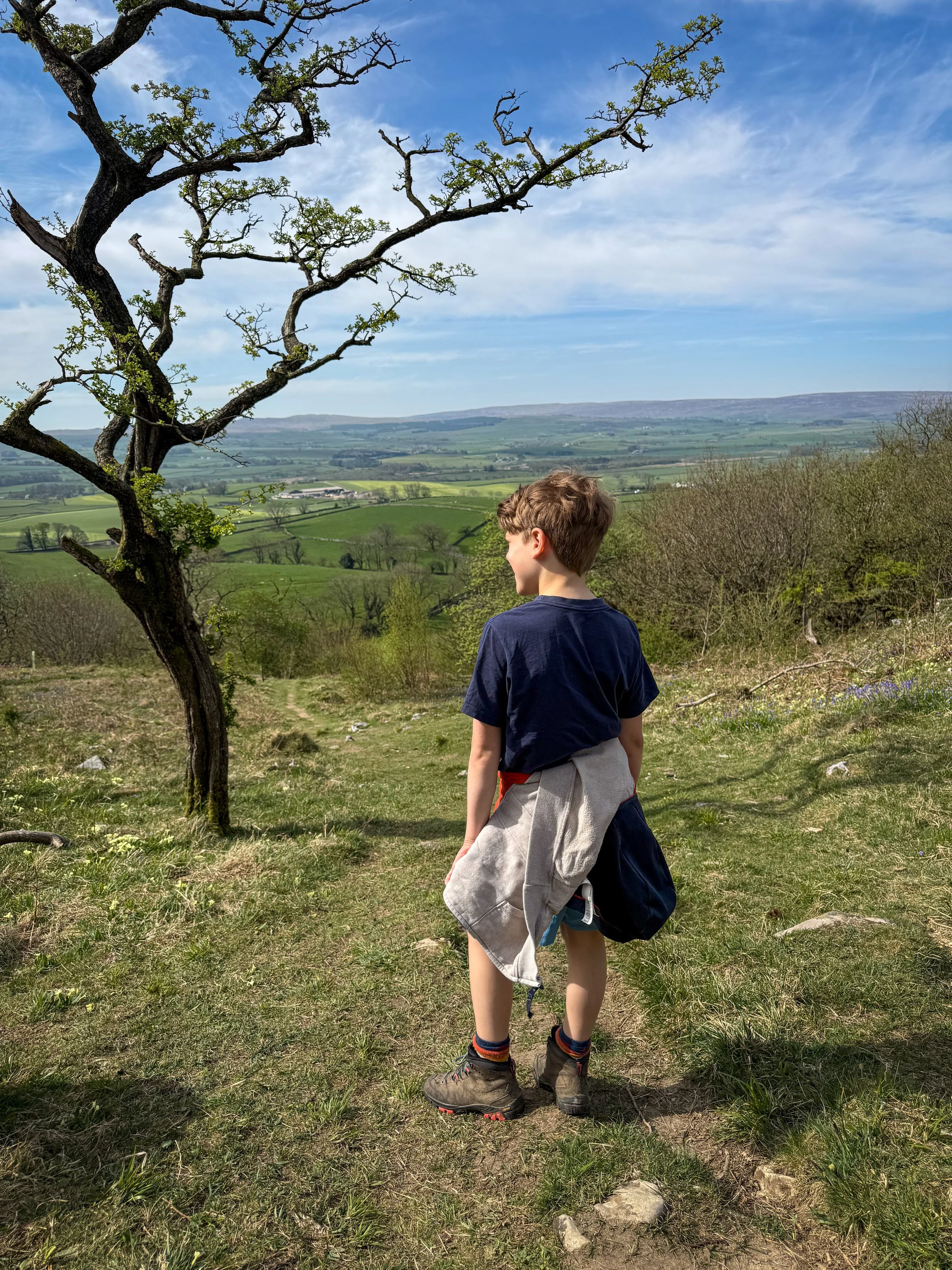
Standing at the top of the hill with the woodland beyond.
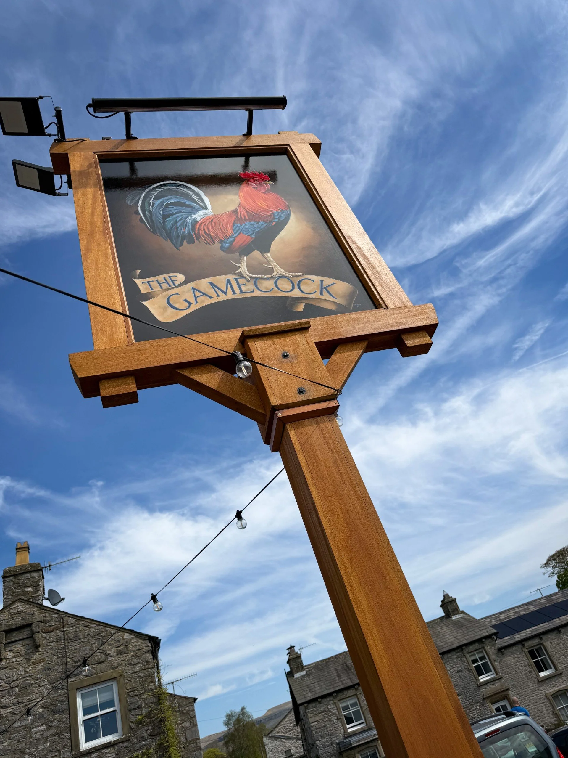
If you fancy it, the Game Cock pub is in the village on the way back. Inside, there is also a bakery, which I’m told is EXCELLENT!
The path through the woods with the wildflowers peeking out.
Standing at the top of the hill with the woodland beyond.
If you fancy it, the Game Cock pub is in the village on the way back. Inside, there is also a bakery, which I’m told is EXCELLENT!