
The Bartle Trail, West Witton
This is the most unique trail in the Yorkshire Dales and it’s the perfect walk to try with the kids!
West Witton in Wensleydale is home to one of the oldest traditions in the Yorkshire Dales, the burning of Old Bartle. This trail is a series of mosaics that depict the old legend.
Fancy walking the Bartle Trail in West Witton?
This totally unique trail was created by the children of West Witton and follows the route of the final chase of Bartle from Penhill Crags to Grassgill in the village. Who on earth is Bartle? Well in the modern sense, Bartle is a straw effigy of a large man that’s burnt (a bit like Guy Fawkes) in an annual ceremony in the village. It’s very similar to the ritual of the procession of the guy on the 5th of November and some schools of thought actually believe that it predates bonfire night altogether!
Legend tells us that Bartle was the dastardly giant of Penhill, who lived in a castle on the slopes of the hill. Old Bartle had three passions in life. The first? His prized pigs (possibly stolen from the village), secondly, his wolfhound (who - in a different version of this story - ate him) and thirdly, being a royal pain in the bum to the residents of West Witton. Some say it’s this version of the story which is the basis of the doggerel of the Burning of Bartle. The other version is that the ritual is carried out to celebrate the capture of a prolific livestock thief (I prefer the giant version!)
Whichever is true is irrelevant. Because what this is, is a blummin’ lovely walk, with an excellent back story and is PERFECT for kids (ooh and it ends at the park!)
But before we begin with the walk details… let’s hear that Doggerel.
“On Penhill Crags, he tore his rags
At Hunter’s Thorn he blew his horn
At Capplebank Stee he brak’ his knee
At Grassgill beck he brak’ his neck
At Wadhams End he couldn’t fend
At Grassgill End we’ll mak’ his end”
And on that slightly sinister note… let’s go!

Buy Me a Coffee
Make a Donation
Thank you for taking the time to have a look at my website and for reading this now!
I set up the Reluctant Explorers and maintain the website and attached social media accounts in my spare time, around mum-life and two jobs. It was designed to provide access for parents to free resources to help get more families outside and exploring in nature. These walks have all been created by myself and the kids and we have walked each one ourselves (and re-walk them regularly to keep the information as up to date as we can).
If you would like to support us and can afford a few pennies, you can make a donation to our ‘Buy Me a Coffee’ page. Simply tap the button below to head there!
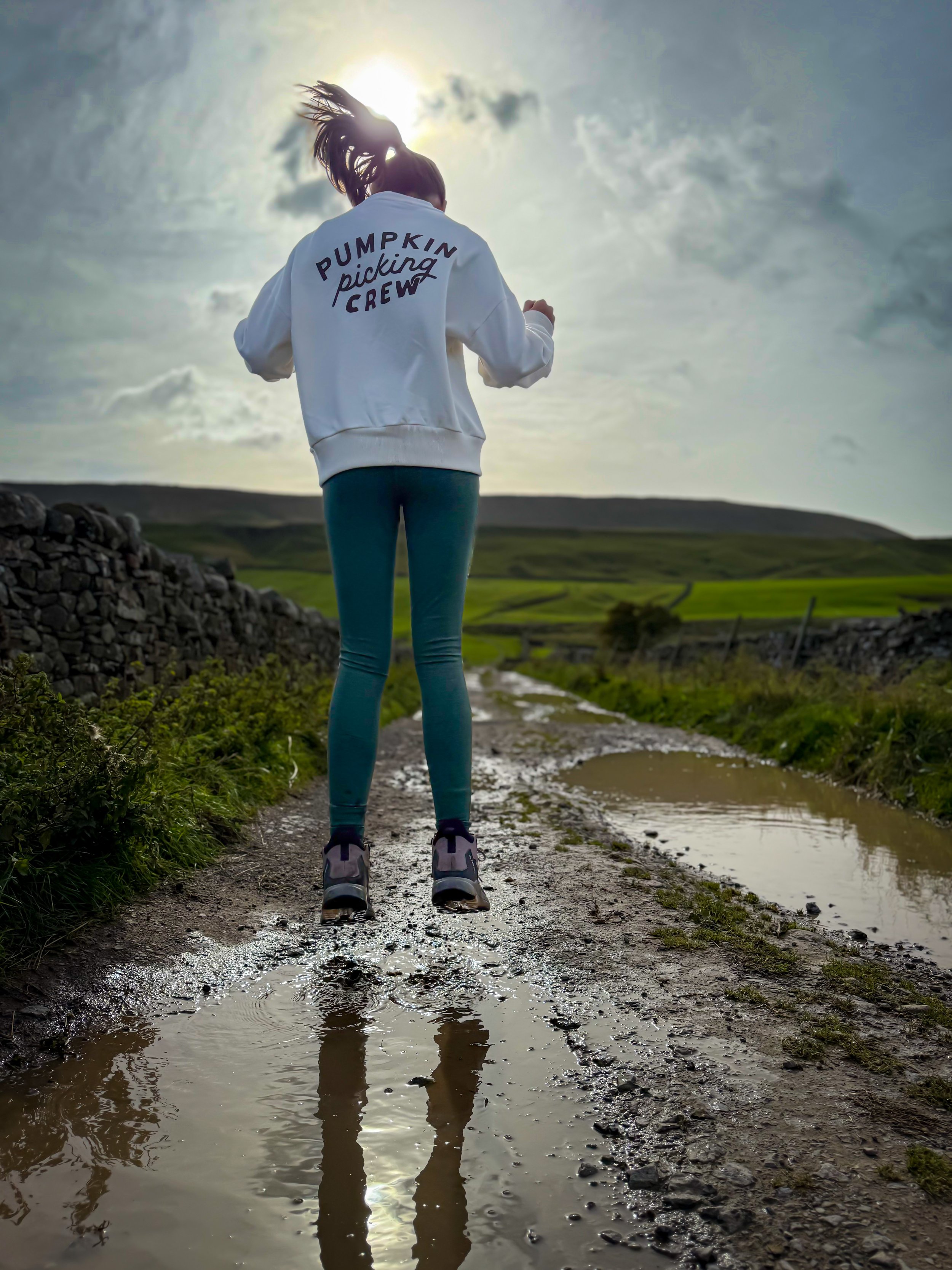
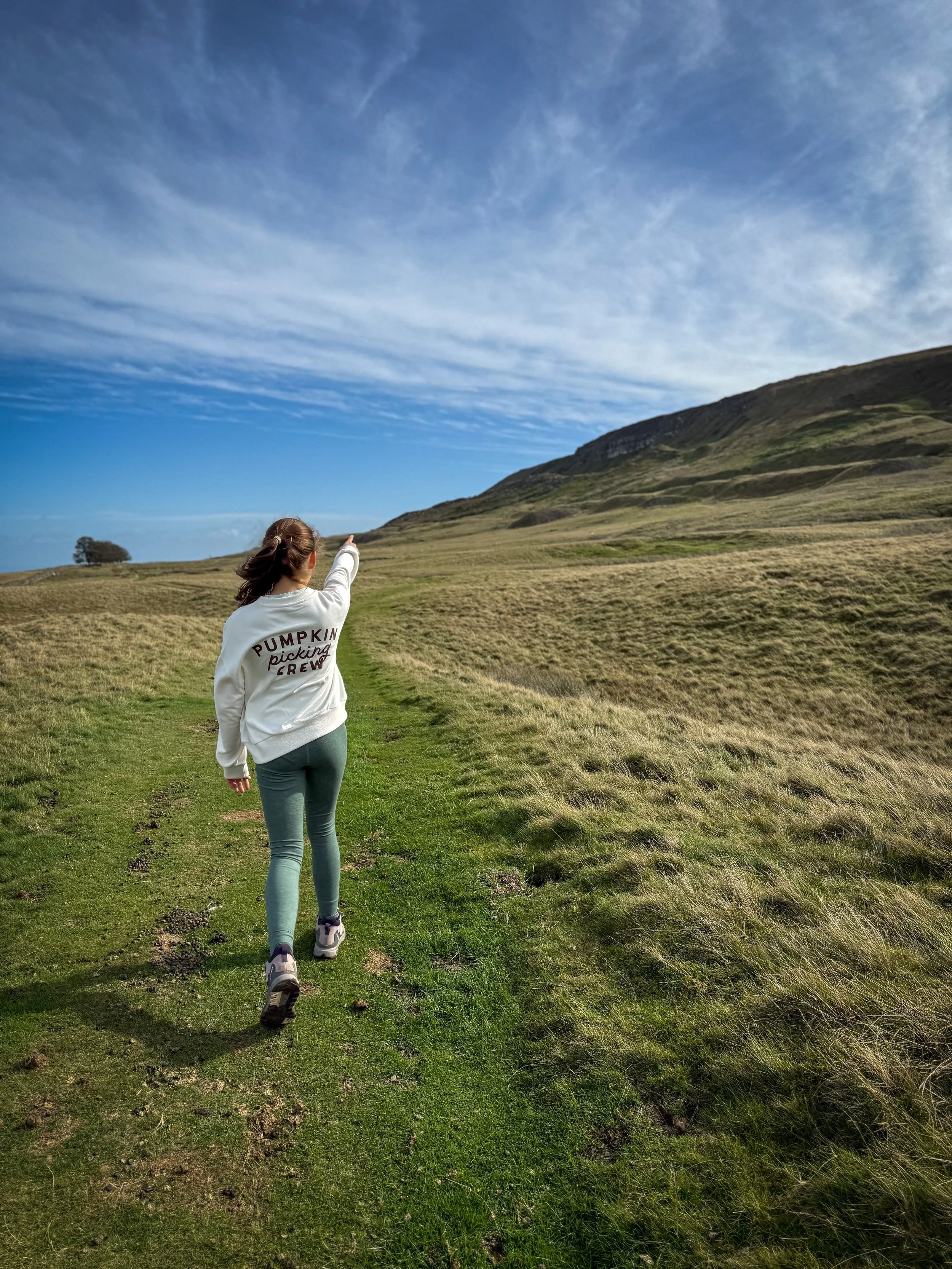
Nossill End heading towads High Lane on the approach to the first mosaic.
Walk Details for The Bartle Trail
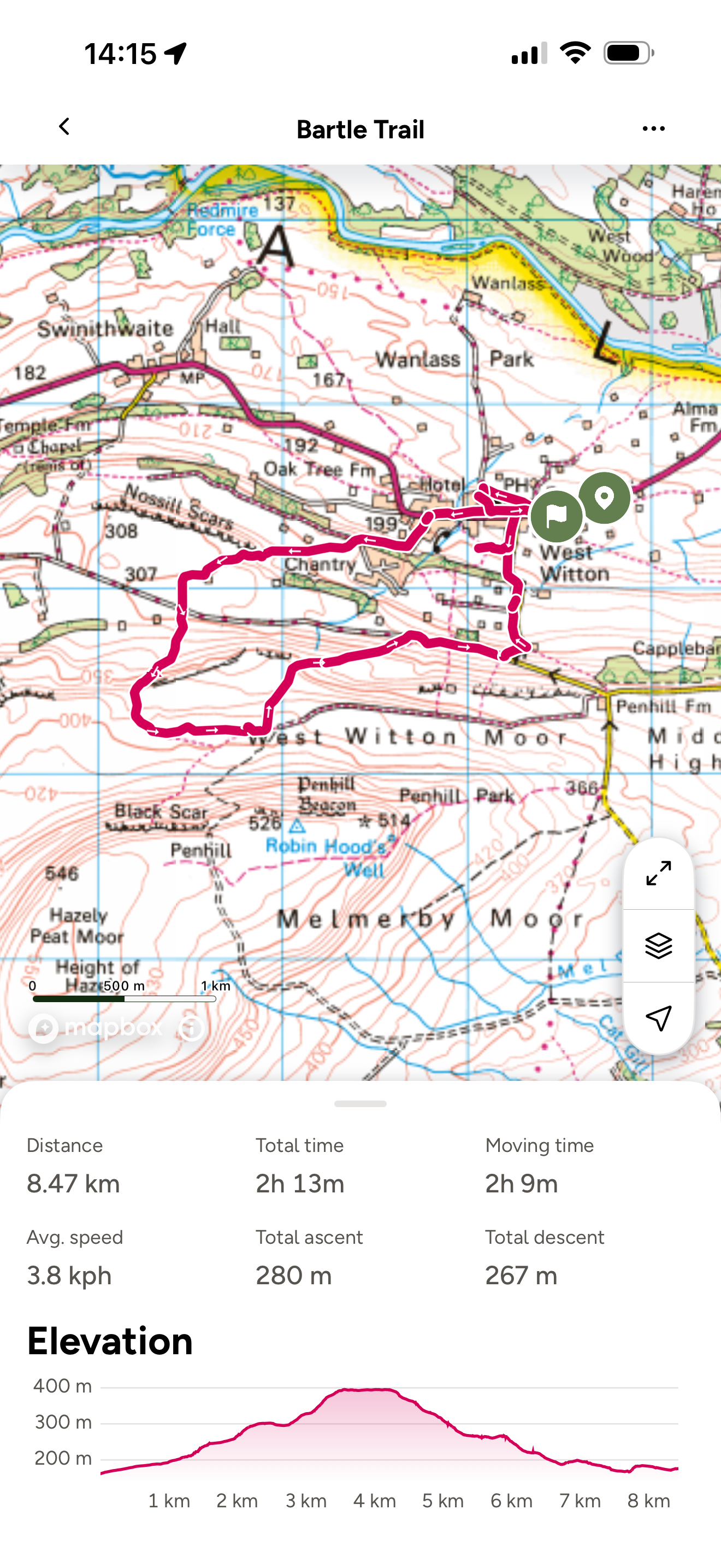
Distance: 8.5km (which is around 5 miles)
Terrain: Well signposted and trodden routes. The section towards the end on the aptly titled ‘Watery Lane’ does easily get flooded after heavy rain, but the trail can still be completed regardless.
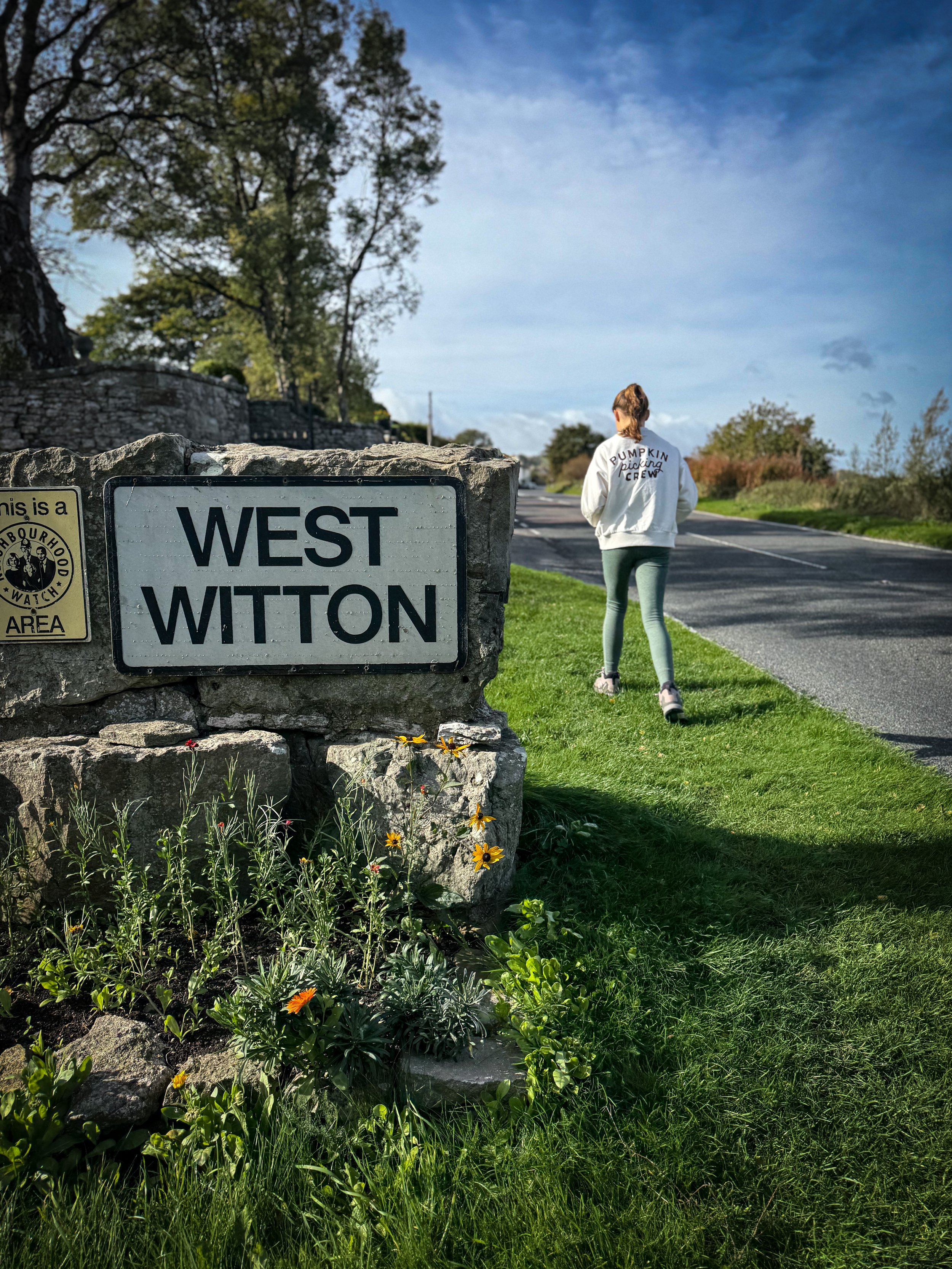
Parking: There is a large parking layby on the way into the village near to the ‘West Witton’ sign on the Leyburn side.
Public Transport: It is possible to get the bus to West Witton. Check out the bus timetable on the Dales Bus Website.
Dog friendly? Yes, dogs to be kept under close control, there is grazing livestock on this walk.
Location: West Witton, near Leyburn, Wensleydale.
Map: Ordnance Survey OL30 - Northern and Central Yorkshire Dales
Toilets/ Baby Change: None.
Nearest Cafe/ Amenities: West Witton for the Fox and Hounds pub and the Craven Heifer as well as village shop.
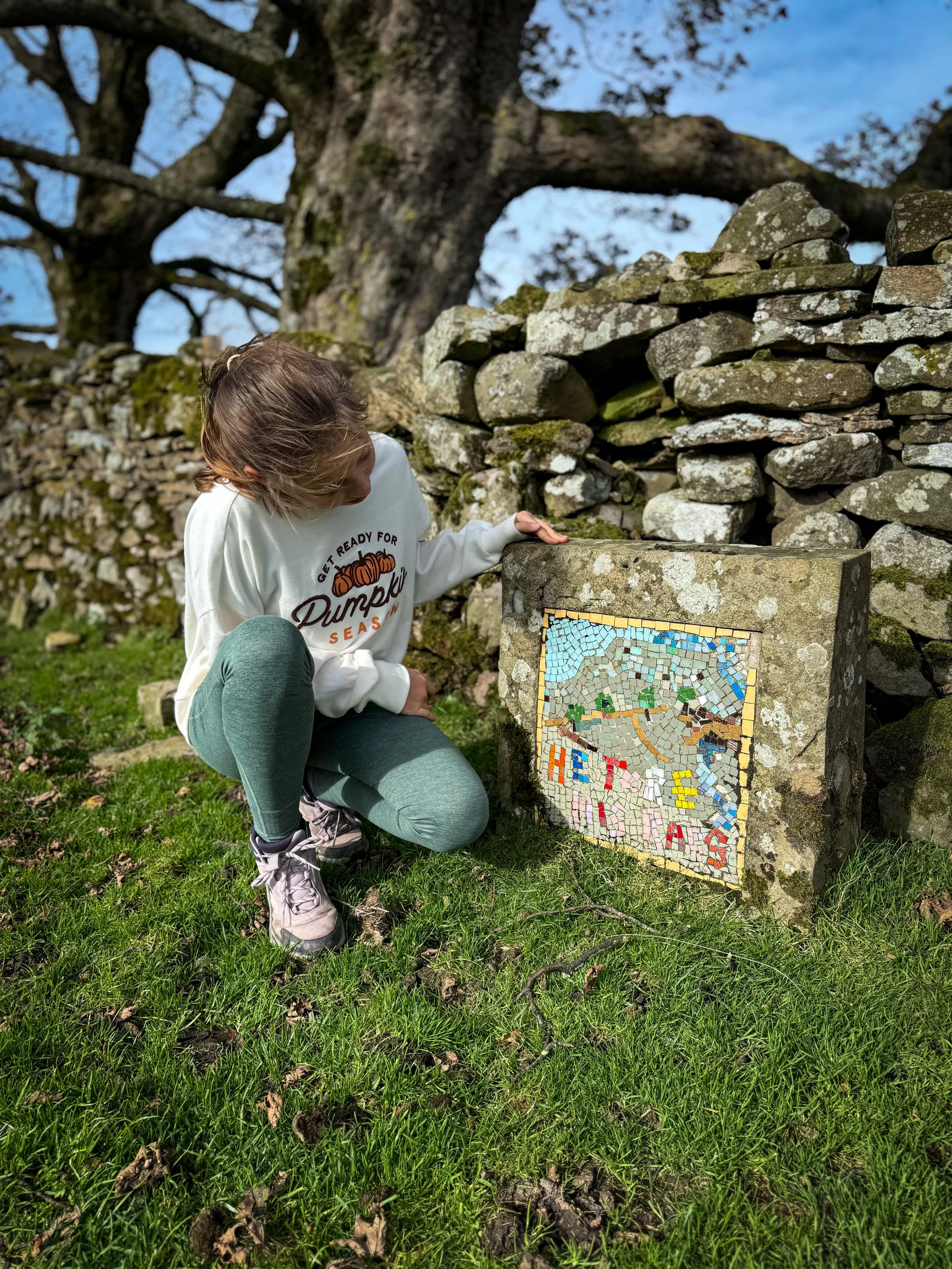
The first sign you’ll encounter along the way
How to walk the Bartle Trail
Directions to be used in conjunction with a map.
From the parking area, continue along the main street passing the Fox and Hounds to your left and the Craven Heifer to your right. Just shortly after the Craven Heifer, there is a triangular green with trees on it, creating a crossroads. At this point turn left.
Head through Kagram, passing the Chantry country and leisure park on your left. Here keep left on the surfaced road, as it bends round to the left. This is called Greengate. Continue to follow this track, it gradually climbs uphill, before turning 90 degrees to your left after about half a mile. This is Nossill End. Cross over the track that is High Lane which forms a T-Junction with the track you have been following.
On the far side of High Lane, there is a gate into the field beyond. Go through this and head uphill, following the footpath sign. The clear farm track heads uphill. As you reach the top corner of the field, there is a little wooden footpath gate next to the farm gate. Head through this and follow the farm track. It heads alongside the drystone wall, before bending round to the left still going uphill. It will again meet up with the wall before reaching a wooden gate with a waymarker on it.
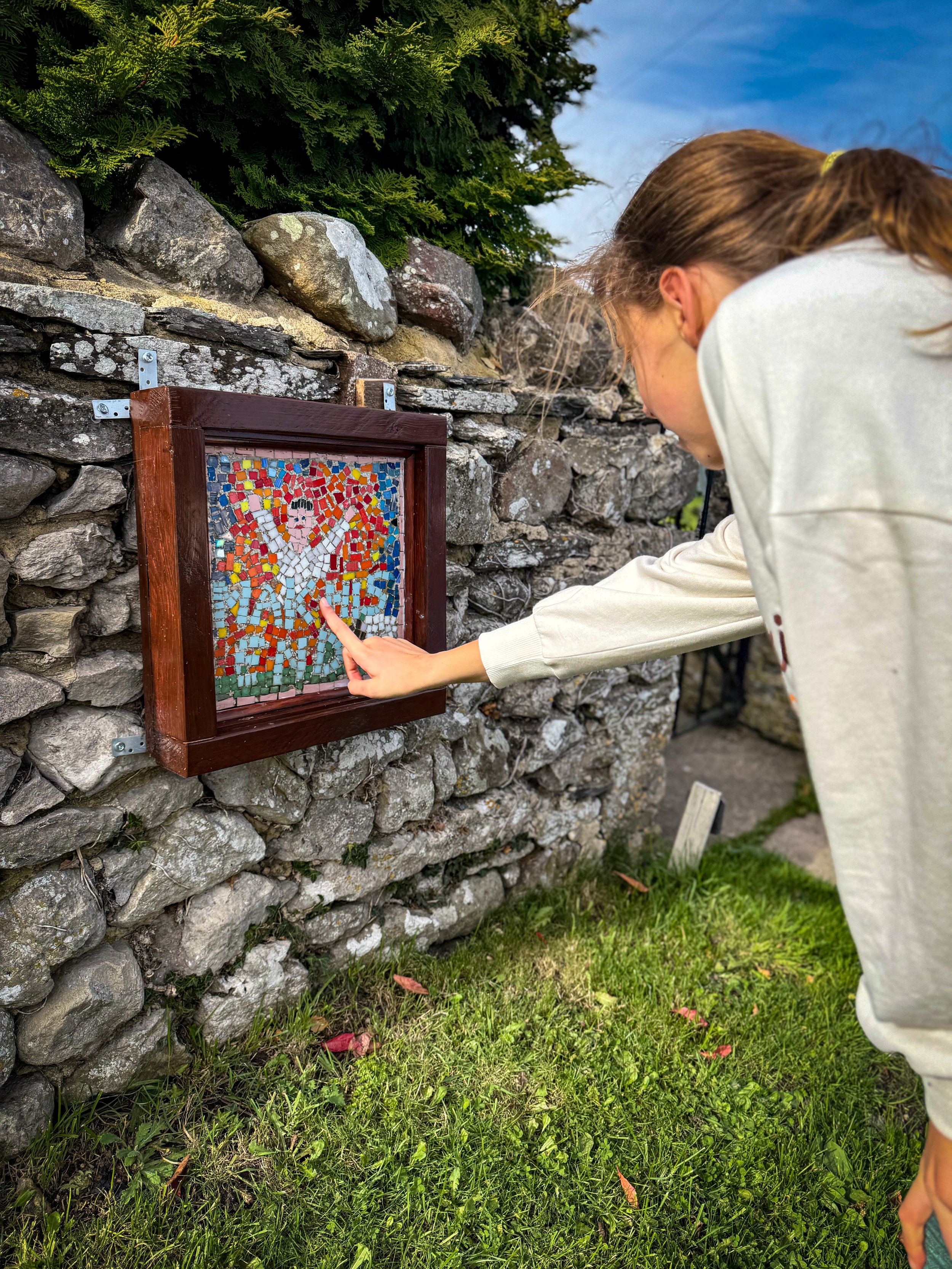
Head through the gate and turn left, roughly following the line of the dry stone wall on your left. You will be able to see the crags of Penhill to your right. Continue until you see a small line of trees against the dry stone wall on your left (pictured above). This is the point of the first mosaic ‘he tore his rags’.
There is a stone stile and gate in the wall next to the mosaic. Go through this. From here, follow the path next to the dry stone wall until it forks right. It then heads down towards the corner of another field and across the line of a no longer existing dry stone wall, then through another little gate in the wall on your right.
After this, you will clearly see the grassy path ahead as is heads downhill and towards another dry stone wall. On this wall is the next mosaic ‘he blew his horn’ next to another gate.
Head through the gate and cross the next field to the gap in the wall of the next one AND then through a gap in the wall of the next one (the paths are easy to see here!) then through a further gate in the wall before heading diagonally downhill all the way back to the walled track that you crossed earlier (High Lane).
Turn right onto High Lane and follow it until the end where it meets the road. Turn left onto the road. You will shortly see to your left, Watery Lane, which does flood. The mosaic here says ‘he brak his knee’. Continue left up Watery Lane (there is a path on the left if you can’t. But if it’s too muddy or wet, you can also head along the road - which is what we did!) If you managed to do Watery Lane, you will head almost to the end, until you get to a couple of farm buildings, one on the left and one to the right.
Just after here, head into the field on the right through an open gateway, then walk towards the tree lined boundary. Follow this, keeping it to your left and over the stile into the small strip of woodland. From here head right and diagonally down to the far right edge of the strip, then back out into another field. Keep the perimeter hedge to your right and follow it down to the next mosaic ‘couldn’t fend’ which is on the dry stone wall.
From here, turn right and follow the line of the beck (which should be on your left) Beyond in the dry stone wall is a wooden gate, but on your left is a further mosaic. It’s attached to a tree by the water. This one is ‘brak his neck’. Head through the gate and follow it back to Grassgill Lane (this is a road, so be aware of traffic).
Turn left onto the road, to find the last mosaic, ‘mak his end’ which is on your left in a wall to a property. On the right hand side here is where they have the Bartle burning ceremony is held every Saturday after St Bartholomew’s Day (which is on 24th August).
From here, head back to the main road and turn right! The park is right there!
Last walked October 2025.
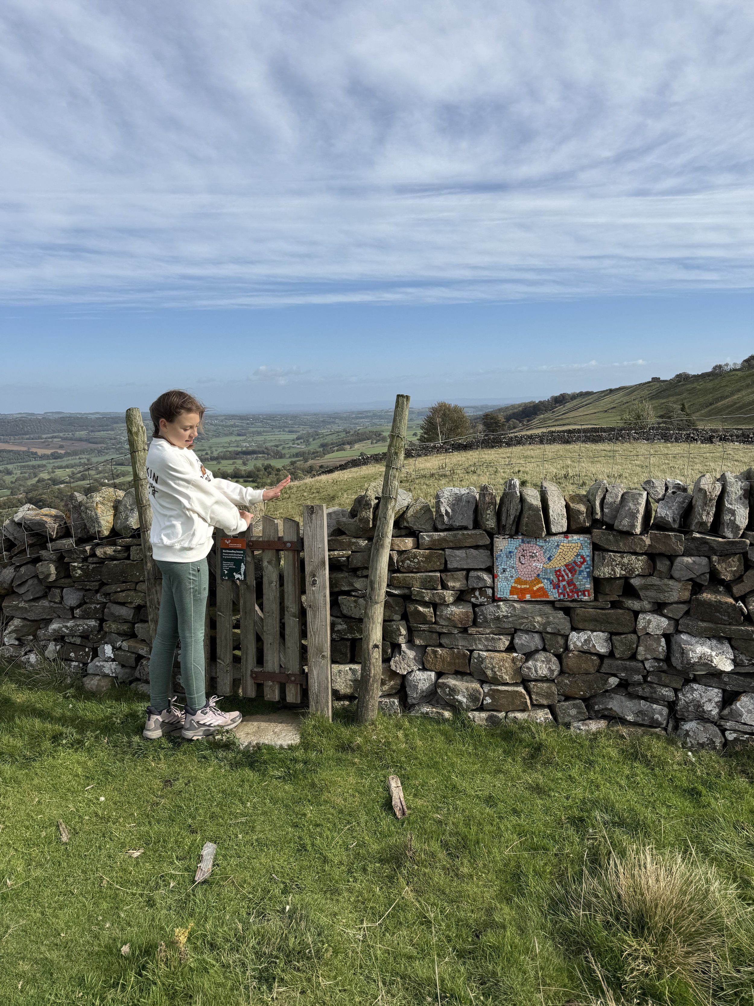
At Hunter’s Thorn he blew his horn
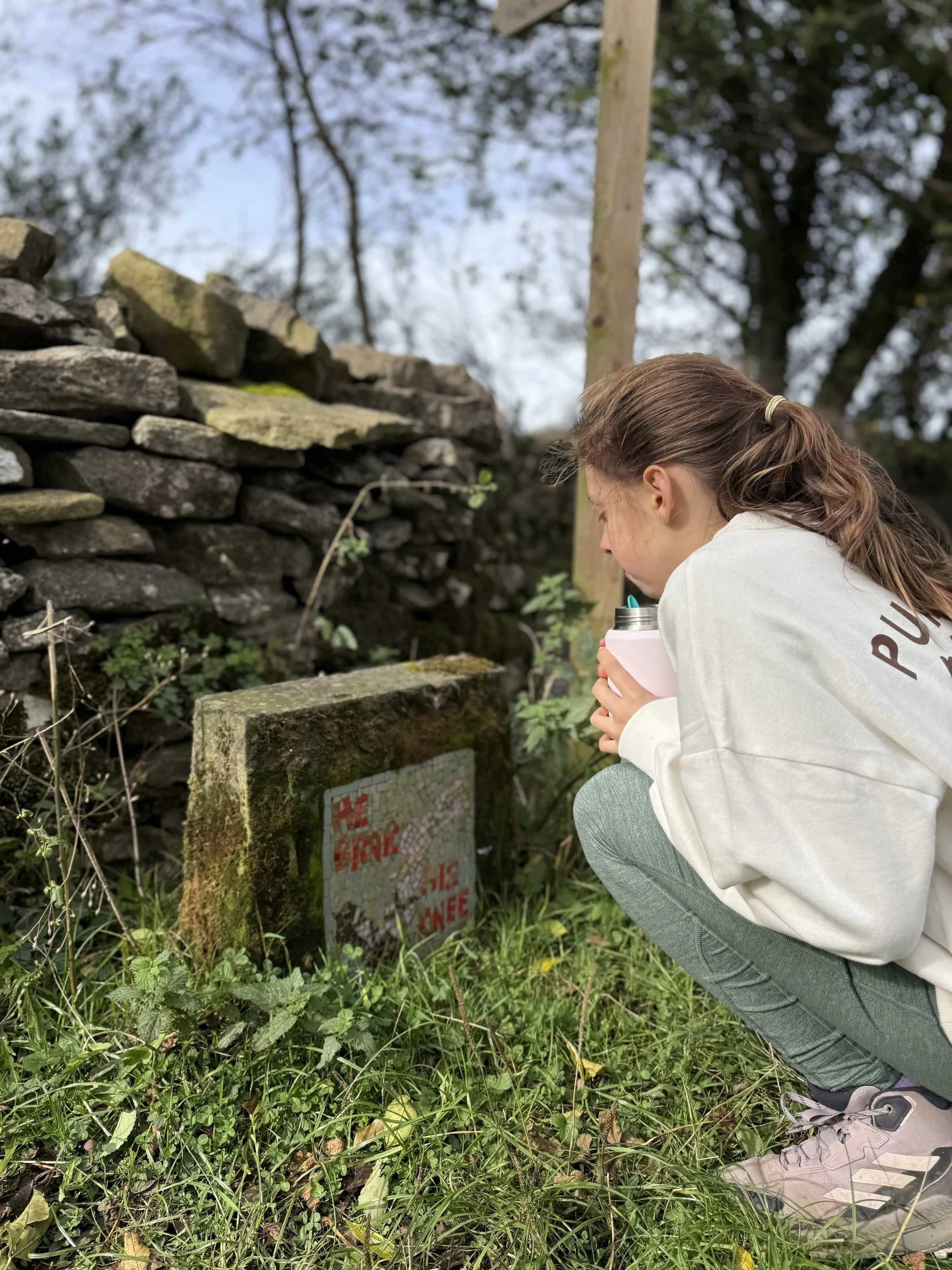
‘At Capplebank Stee he brak’ his knee’. This mosaic is found right next to Watery Lane.
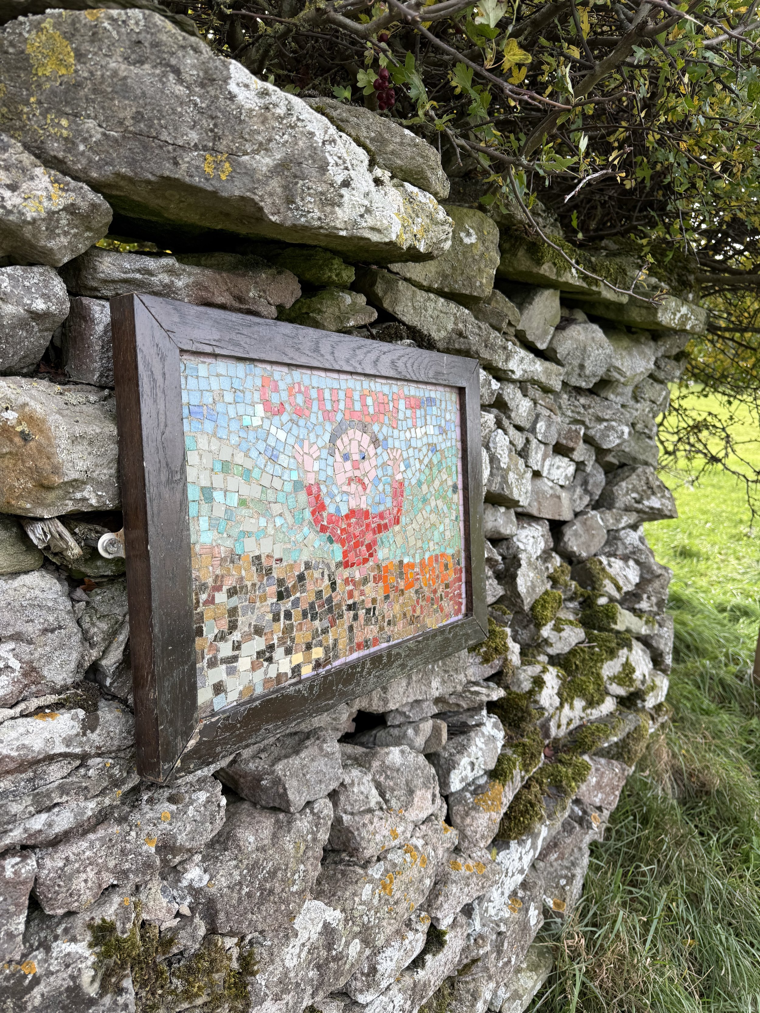
‘At Wadhams End he couldn’t fend’. This is the next mosaic you meet after coming out the woodland.
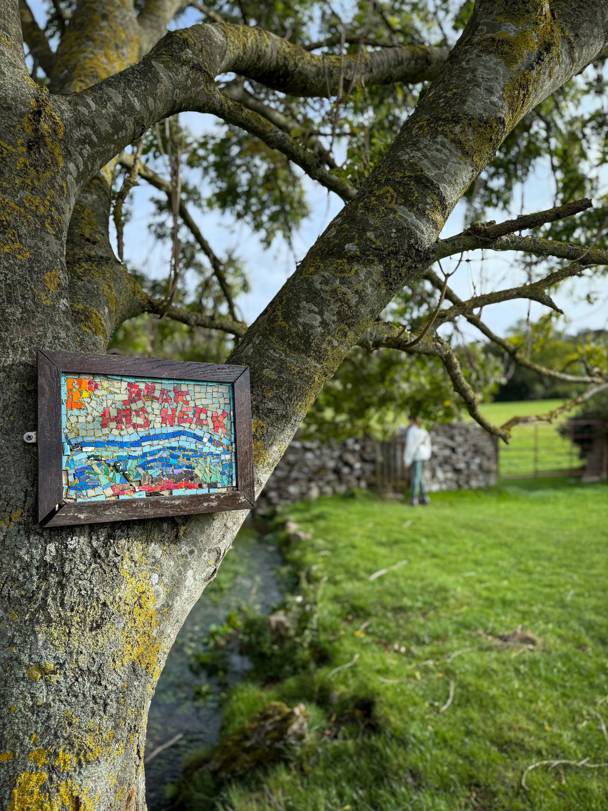
‘At Grassgill beck he brak’ his neck’ This is the penultimate mosaic on the trail.
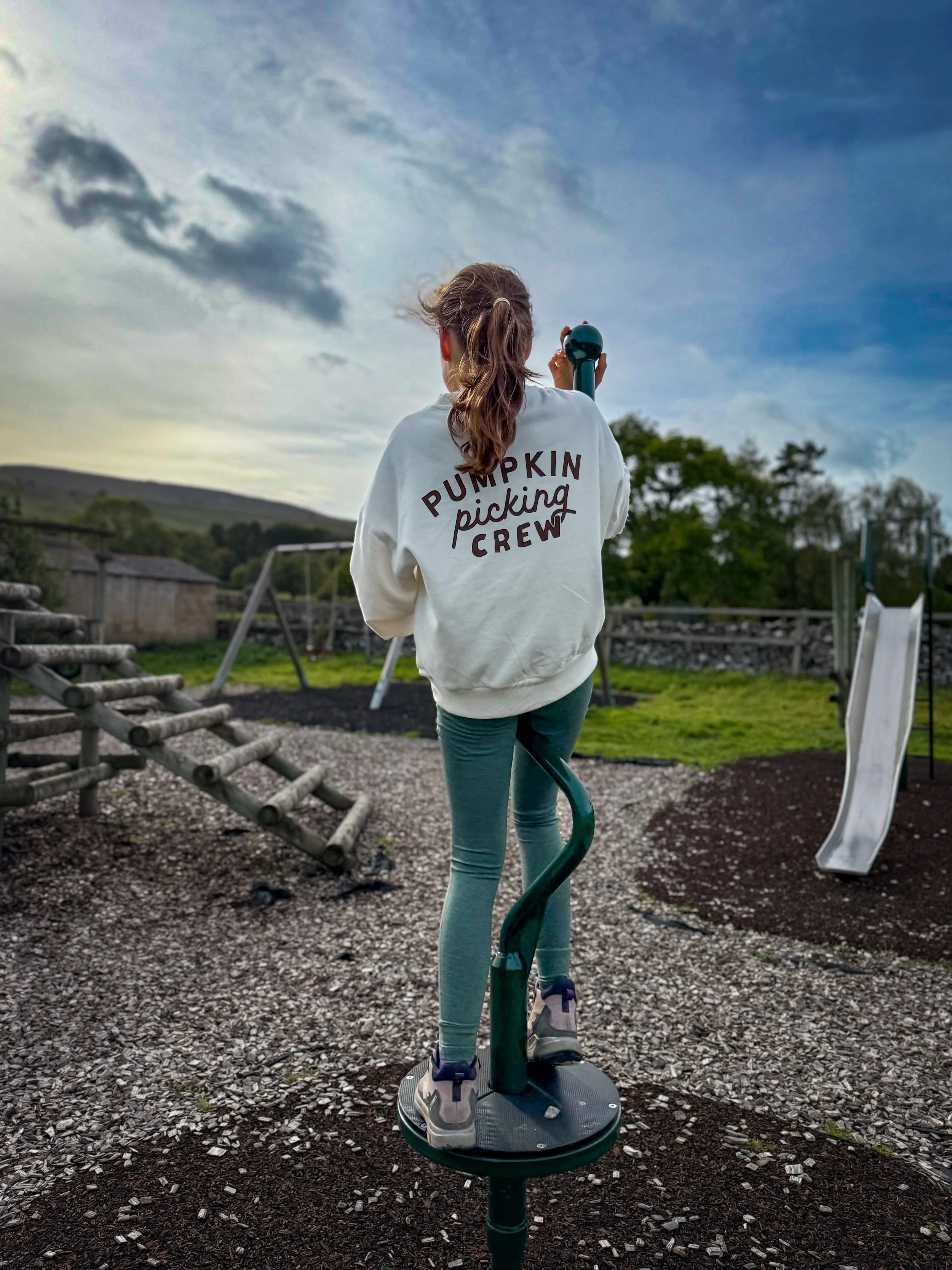
The play park in West Witton
What’s great for kids on this walk?
✨Let’s talk history before we launch into legend! I have read a lot about this ancient and unique ceremony in West Witton. Snippets of newspaper articles, mentions of it in books (Haunted Yorkshire Dales - Summer Strevens) a few blogs on the old ‘tinternet. But the opinion of a local, recorded on Pip Pointon’s website (linked) which formed part of an article for the Dalesman was by far the most helpful and probably the most reliable source we have. Make sure you check it out and head to the website there (it’s got much more detail!)
What I have concluded is that the origins of the tradition are totally mashed up and nobody actually knows for sure why it takes place! There is a suggestion that the historical records for the village were destroyed in a fire, so in terms of primary sources, well there appear to be none. The only source we have available is information passed down through the generations of the West Witton villagers.
The name Bartle is derived from Bartholomew, the name of the patron saint of West Witton church. But a Saint so revered is unlikely to be the figure that is stabbed and burned during the ceremony, despite perhaps adopting his name. Which is a tad puzzling.
One such theory is that it either relates to the possible subject having been tried at the church court there, or that it was the attempt to save the St. Bartholomew effigy from the church during the reformation (when they generally destroyed all that decorated churches!)
But wait, there’s more.
It is thought that the tradition is well over 400 years old, which therefore means it pre-dates the gunpowder plot and the nationwide tradition of bonfire night.
Drawing conclusions from what seems to be clutching at straws (literally - Bartle is made of the stuff!) It is likely that this is the celebration of some version of vigilante justice on a local sheep rustler, who was thieving the local sheep, although pigs and horses are mentioned in other accounts too! The thief would have been tried at the local court in the church, and that’s why the name stuck.
The legend of the Giant of Penhill seems to have become intertwined with the tradition as well. That’s the version I like the best - my hunch is that our sheep hustler has had a story that has been wildly embellished over time.
But I would LOVE to get to the bottom of this - it’s about time I put my history degree to good use!
🍦There is a village store in West Witton.
🛝 And the play park is at the end! Not going to lie, the views from here are pretty spectacular, so you can enjoy them whilst the kids play!
👻 So what about the actual story of the Giant of Penhill? Well, legend tells us that he was a fearsome and ferocious dude who lived in a castle on the lower slopes of Penhill (about the place where the first mosaic is found - coincidence? No… because they put it there on purpose!!) The most readily recounted version is that he had a hellish hound and he blummin loved his pigs. He terrorised the people of West Witton, stealing their sheep (there may have been a casual murder or too, just for good measure) and all in all, he was a prize nuisance. Was he the ‘Bartle’ that was hunted down in the doggerel? Let’s say yes for the sake of drama? You can read far more about this on our folklore blog.
🍻 Two pubs on this walk! Oh and if you love a ghost story too, the Craven Heifer is supposed to be haunted!
🌳 In need of some walking distractions? Then why not check out one of our printable scavenger hunt or another of our walking games?
Helpful Information!
For more helpful information head to our safety tips and advice page.
⭐ We hope you enjoy our walks, but please exercise common sense as routes can change with the weather conditions and seasons! The routes have been walked by our own two feet, but you know your own limits. Always take a back-up map, don’t rely on GPS alone, wear appropriate clothing for the weather and take adequate snacks and refreshments with you (although as a parent, I know you already know that bit!)
⭐ Leave no trace! Take nothing away and leave nothing behind, take all rubbish home with you.
⭐ If you choose to paddle, be aware of bio security. Always wear clean dry water shoes (if worn) to avoid cross contamination of species between watercourses, this is a particular issue in the Yorkshire Dales, to help protect the white clawed crayfish.
⭐ If you decide to paddle, be aware that wild water can be dangerous, and water levels will vary season to season. Always supervise children around water. Check out the safety information on the Royal Life Saving Society website.
Want to grab the route?
Head to the Ordnance Survey Navigation App where you can download the route! Here’s our route for the Bartle Trail. This is a guide only, mainly because we couldn’t get along Watery Lane, so had to bypass that because it was also super muddy!
If you want the route instructions for the full official route, then look above. This one still takes you to all the mosaics though!
(Always carry a back up map and know how to use it)
Image is Copyright of Ordnance Survey
Something in mind? Search our full site!
(e.g. search: Gaping Gill Winch, Kettlewell etc.)
Scroll using the arrows for all our Family Friendly Walks
-
![Swimming in Janet's Foss Yorkshire Dales]()
Waterfall Walks
-
![Malham cove walk for kids]()
Pushchair Friendly
-
![Pinhaw Beacon trig point walk near Skipton]()
Peak Bagging Walks
-
![The Park at Greenhow Nidderdale]()
Walks with Play Parks
-
![Gordale Scar in Malham Yorkshire Dales]()
Organised by Location
-
![Walking in the woodland in Wensleydale]()
Woodland Walks
-
![Playing on the shore of Embsay Reservoir Yorkshire Dales]()
Reservoir Walks
-
![The ruins of Bolton Abbey]()
Bolton Abbey Estate Walks
-
![Leaping over the stile at Almscliffe Crag]()
Walks Under 2 Miles
-
![Child walking into a pub in Appletreewick]()
Walks with Pubs and Cafes





Follow us for up to date Outdoors Adventures!
We live and BREATHE the Yorkshire Dales outdoors life!
BEEN INSPIRED? Tag us @reluctantexplorers
Come follow our journey over on Instagram and Facebook where you’ll find up to date walk info, breaking news on Yorkshire Events, new Yorkshire Dales wild swim spots, climbing, caves and more!


Follow us on Social Media for all the up to date info: @thereluctantexplorers

Leave No Trace
The Yorkshire Dales is our home, and the home of so many others who care deeply about this beautiful space.
Should you visit, make sure to:
Take home anything you bring, leave no rubbish behind.
Make the world a better place by picking up any rubbish you see, even if it isn’t yours.
Leave everything else as you found it.