
Winder Circular, The Howgills
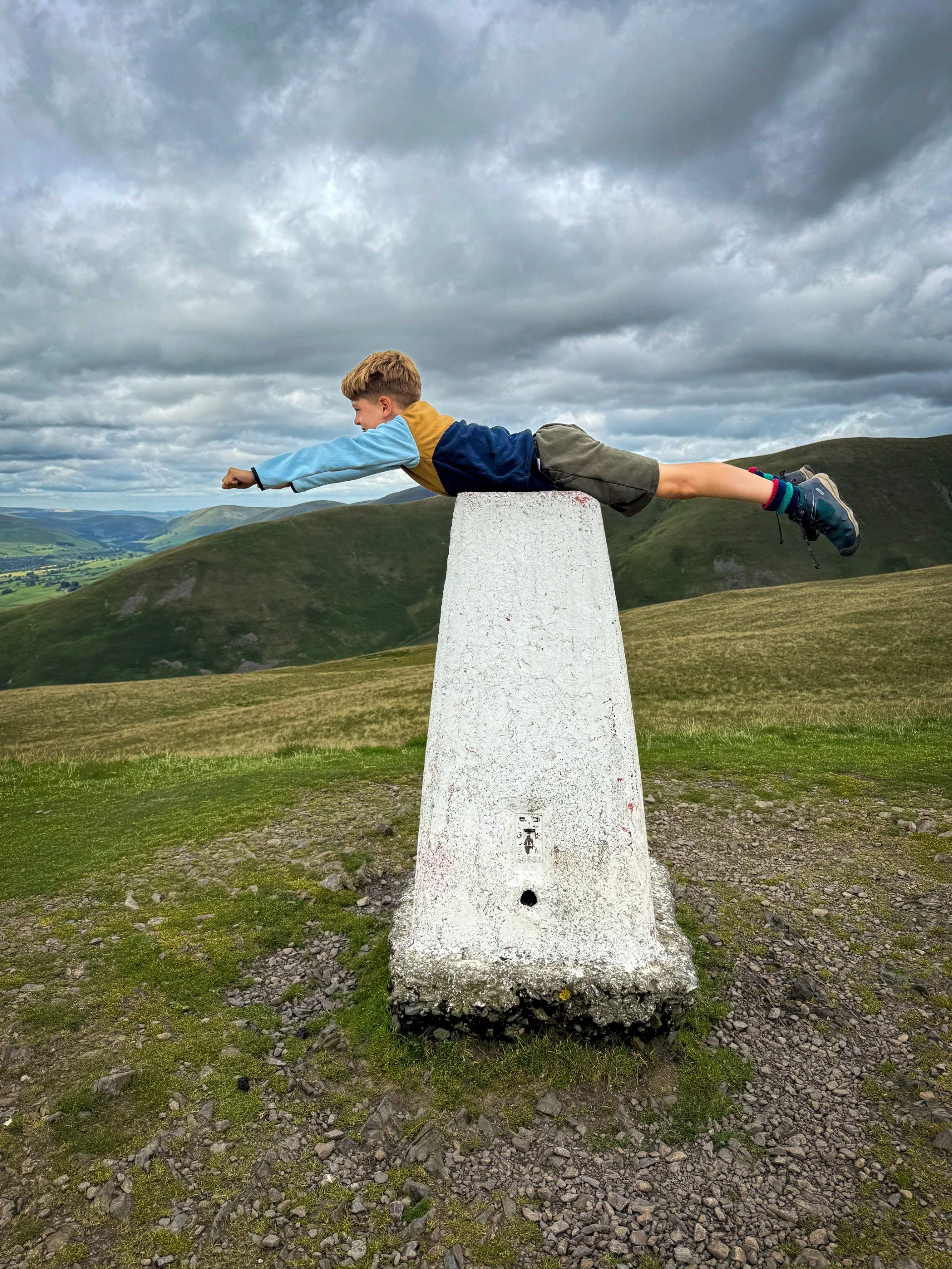
Winder is a super little trig point to bag on a lovely kid sized fell above Sedbergh.
Lovingly known locally as ‘The Fell’ Winder is special to the locals and we can understand why!
Have you heard of Winder?
This super little peak sits right above the town of Sedbergh and is a great family friendly introduction to the Howgills, with a kid friendly bite-sized circular walk to the top! Standing at 473m, it has both a trig point to bag, as well as sporting its very own viewpoint, to tell you exactly what you can see when you’re up there and believe me, it’s great (when you can see it that is - not the case when we first hit this fell, when a storm was incoming!)
This 4.5 mile circular takes you from the centre of Sedbergh to the summit of Winder and beyond, offering a waterfall, views to the Lake District and across the Yorkshire Dales and there are even geocaches to find too! Oh… and did I mention ice cream and a park at the end?
Well yes. That’s why this one is a family friendly belter!
Oh and to top it off, if the whinges are TOO much to handle, there’s an option to cut the route short ! It used to exist as its very own walk, until it made sense to just join it in with Winder, on the basis it almost follows the same route! Perfect for a family looking to stretch the limits a bit in untested territory!

Buy Me a Coffee
Make a Donation
Thank you for taking the time to have a look at my website and for reading this now!
I set up the Reluctant Explorers and maintain the website and attached social media accounts in my spare time, around mum-life and two jobs. It was designed to provide access for parents to free resources to help get more families outside and exploring in nature. These walks have all been created by myself and the kids and we have walked each one ourselves (and re-walk them regularly to keep the information as up to date as we can).
If you would like to support us and can afford a few pennies, you can make a donation to our ‘Buy Me a Coffee’ page. Simply tap the button below to head there!
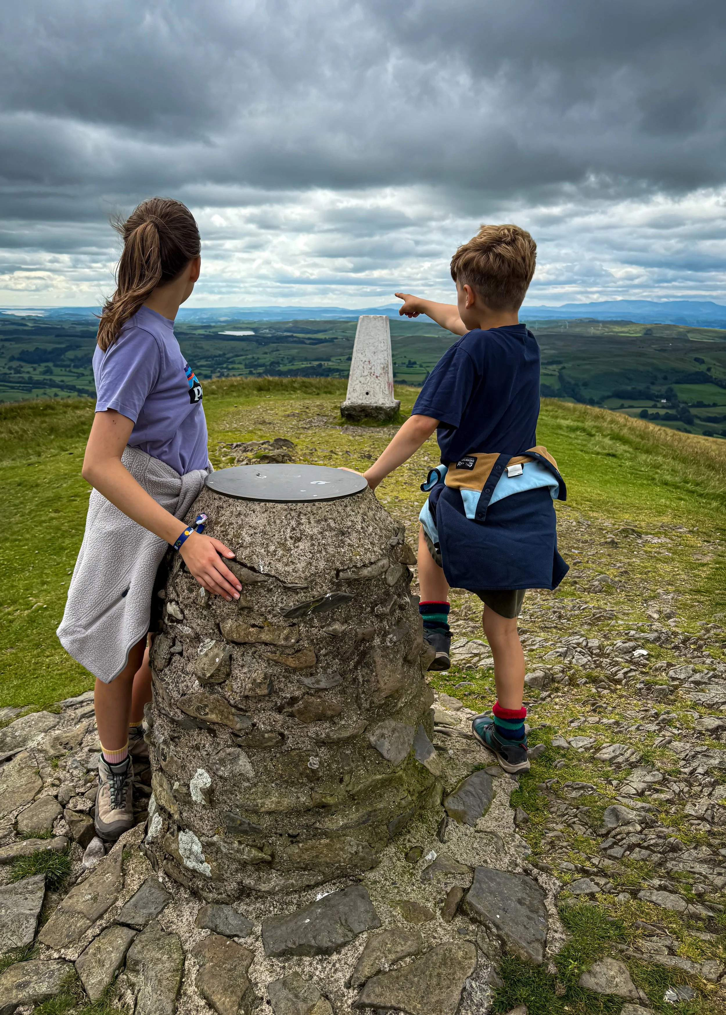
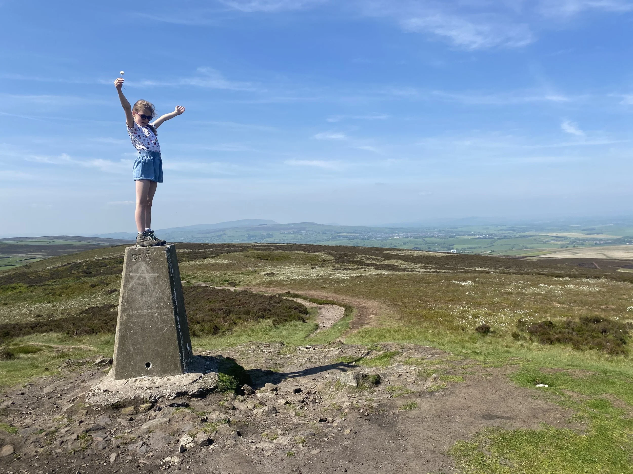
The summit of Winder with its viewpoint and trig point! We’ve been on far bigger fells with only a few stones to mark the top!
How to Walk up Winder with Kids
Distance: 6.8km - 4.5 miles (shorter option is 2-3 miles)
Terrain: Varied. Mostly grassy paths, with muddy areas. Some limited road walking. A map and mapping app is essential as you will be climbing onto open fell although paths are largely clear to see. Ascent in the region of 360m.
Parking: At Joss Lane pay and display car park in the centre of Sedbergh. This is a decent sized car park, but on the off-chance you do find it busy, make sure you have a plan B. Why not try one of our other Westmorland Dales walks.
Public Transport: There are buses that run to Sedbergh. Check out the bus times here.
Dog friendly? Yes, dogs to be kept under close control
Map: OS Explorer OL19 map covering the Howgills and the Eden Valley affiliate link as an Ordnance Survey Champion.
Location: Sedbergh, Westmorland Dales, Cumbria, Yorkshire Dales National Park.
What 3 Words: Start point is moderated.mocked.shovels
Toilets/ Baby Change: There are toilets at the car park on Joss Lane.
Nearest Cafe/ Amenities: Sedbergh is on your doorstop! We like the Gundog Cafe and Black Bull Inn.
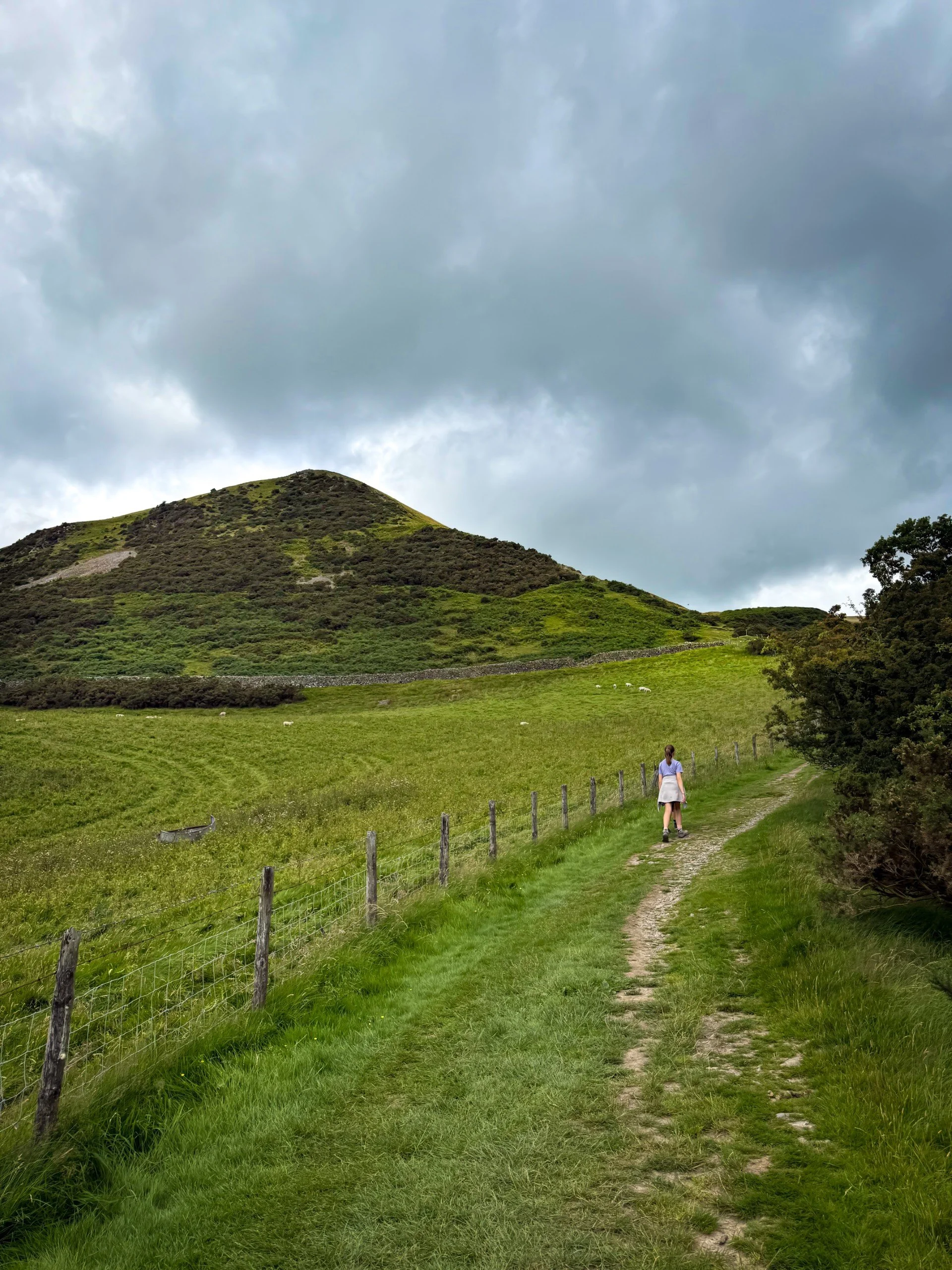
The path along Settlebeck Gill with Winder behind
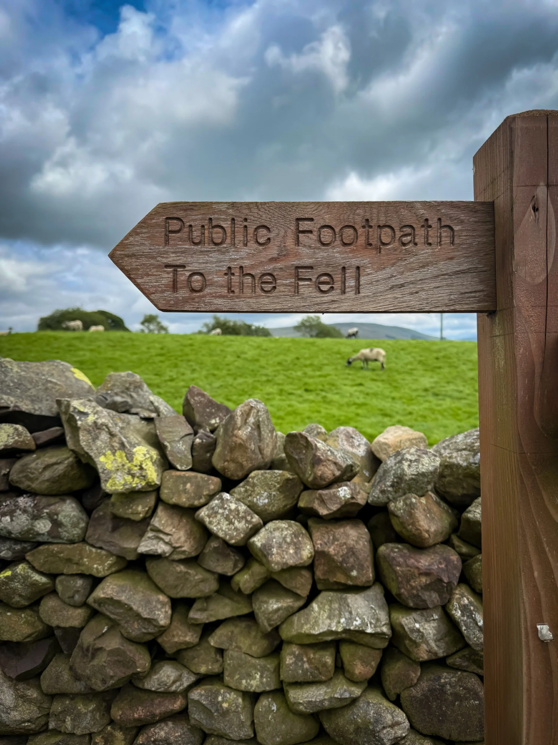
You can’t miss it! The fell so great, it doesn’t need to be named for people to know exactly what you’re talking about!
The Route Details for Winder
Directions to be used in conjunction with a map.
Let’s climb Winder! (Recommended rallying adventure cry…. it’s ok, you don’t need to do that bit)
Starting from Joss Lane Car Park, head to the entrance and turn right (if you need any last minute toilet breaks, the toilets are on your left, you need to head out the car park, they’re on the main road.) Turn right out of the car park and head up Joss Lane, following the road as it bends round to the right, heading past the factory shop (which is to your left and at the bend.)
You will still be on Joss Lane, walking through a residential area, until you reach a gate at the end. Head through the gate as it heads onto an access track. Here ahead of you is a holiday property to the right of the track. The path bends round to the left as it approaches the wall, heading through a gate into a narrow fenced/ walled path. It’s signposted ‘To the Fell’ (which I love).
As you head through the next gate, to your right is Settlebeck Gill. The water here is stunningly clear, a definite Lake District feel! Continue up the hill, keeping the beck on your right, until you reach a metal gate at the top, marked as your entrance to Open Access Land.
At the gate, there is a path down to the right which takes you to the edge of the beck. Here, you can reach a little waterfall if you want to take the detour. It requires a hop across the beck, and then a bum scramble to the base.
There is also one to the left, which heads along the wall. CUT IT SHORT! This is your escape route if everybody is miserable! Simply follow the wall until you see the gate for Lockbank Farm, then skip to point number 16.
ONWARDS AND UPWARDS! You’ve made it this far, you may or may not have detoured to the waterfall, but you are now ready for your ascent to Winder. The path you need heads diagonally straight up the fell. I would describe as the MAIN path going upwards, roughly straight on. It shouldn’t be too hard to spot as it is the main path up to The Calf, which is the highest peak in the Howgills. TOP TIP! Check your map at this point! The path you need is marked as the Dales High Way.
Continue along this path. It is well trodden and will take you across several streams along the way. To your right, is Settlebeck Gill, which will drop deeper and deeper as you climb away from it. To your left is the fell you’re climbing, Winder.
There are several obvious paths dotted around the area, and you will need some basic navigation skills and a map to make sure you are on the right track (as we recommend with all of our walks!)
Continue along the Dales High Way, keeping the gill to your right. The gill will start to head away to your right, moving further from the path. You can just catch a glimpse of a waterfall at this point. Here, there is an offshoot path to your left. This is not as broad as the one you are on, but is still very defined. To assist, the point at which you turn away to the left is What 3 Words explorer.newsreel.predict or grid reference SD 65958 93543)
The path heads upwards, at a reasonably steep climb, and then joins the bridleway, which is an obviously wide track. Here you need to turn left, still heading upwards. Speaking of bridleways, there are regularly fell ponies roaming the fells, so keep your eyes peeled!
The path is very well defined and will take you to the viewpoint and trig point. Check out the awesome views. You will be able to see for MILES! Which is always cool for a little fell! Check out the Howgills… aren’t they awesome? One of my favourite parts of the Yorkshire Dales National Park and a range of mountains that Wainwright described as being like ‘sleeping elephants’. Which obviously, I also love!
From the summit trig begins your descent. You will see an obvious path heading gradually down in a westerly direction. It will continue in this direction more or less all the way down the fell.
Here, you are presented with an option. We originally walked this walk in a period of intense rain, and the ground was MUDDY! So we opted to head straight on through the gate in the dry stone wall which leads to Howgill Lane, a road, as it was pretty arduous underfoot!). If you head this way, you can turn left and head back along it back into Sedbergh, but you will be sharing this with vehicles.
Alternatively, to avoid the road, there is a path (unmarked on an Ordnance Survey Explorer Map, but visible on the standard map on the OS Navigation App and also on the ground). Simply bear left, and skirt around the base of the fell without crossing through the dry stone wall. You can follow this back to Lockbank Farm. Be assured, it’s an obvious path (pictured). This takes you back to Lockbank Farm where there is a gate into the farmyard.
Head through Lockbank Farm following the signs for their preferred route through the farm (maybe stop for ice cream here! They do have a kiosk on occasion). Then head back to Howgill Lane, turning left and heading past the play park, then back into Sedbergh!
Last walked July 2025.

One of the fell ponies you can find grazing on the Howgills
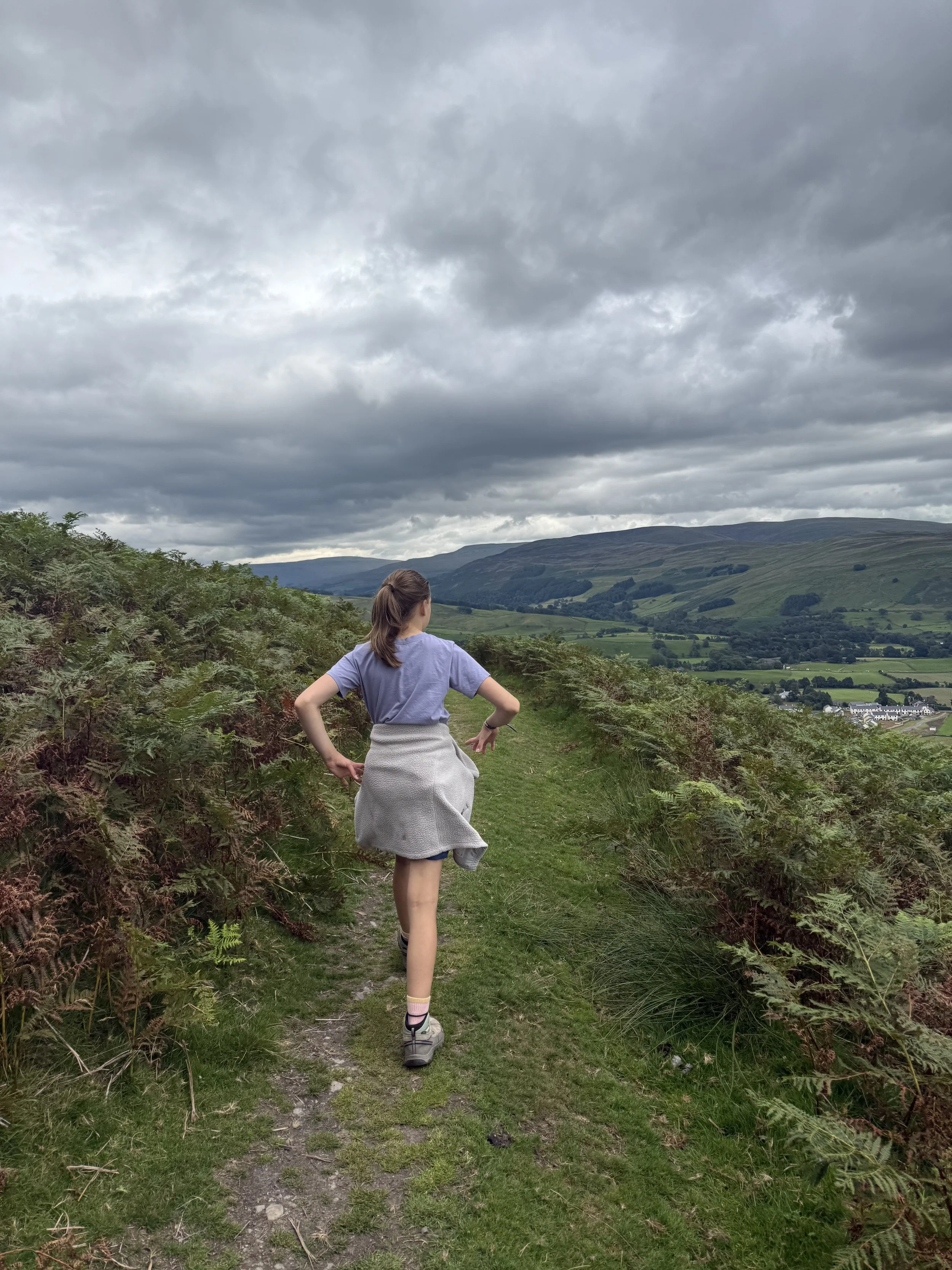
The path back around the fell to Lockbank Farm.
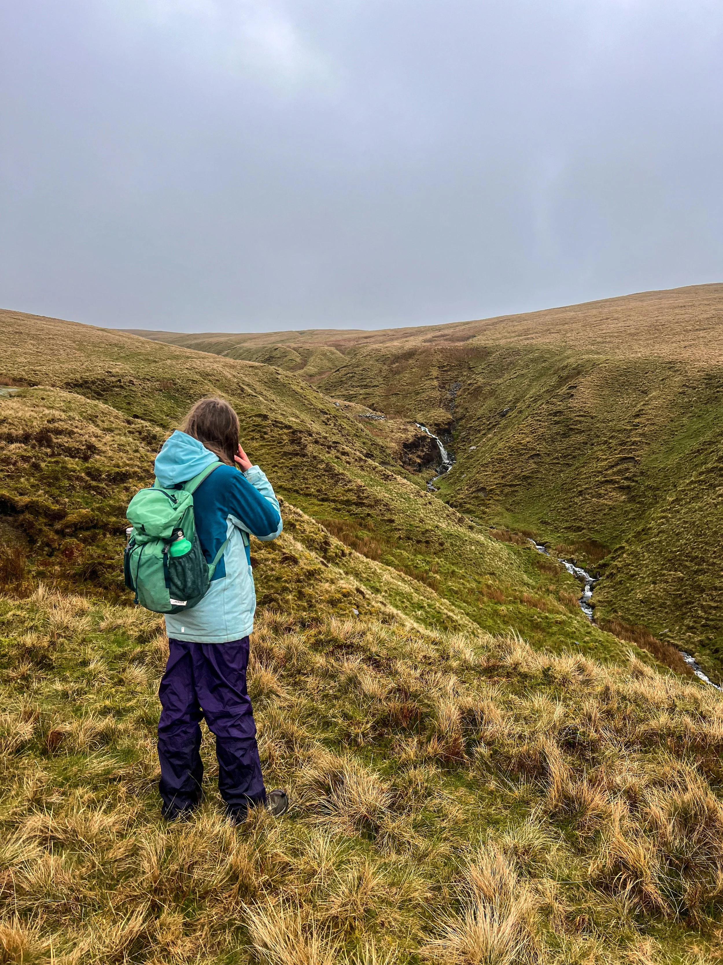
Winder in the rain! This is on the ascent after Settlebeck Gill
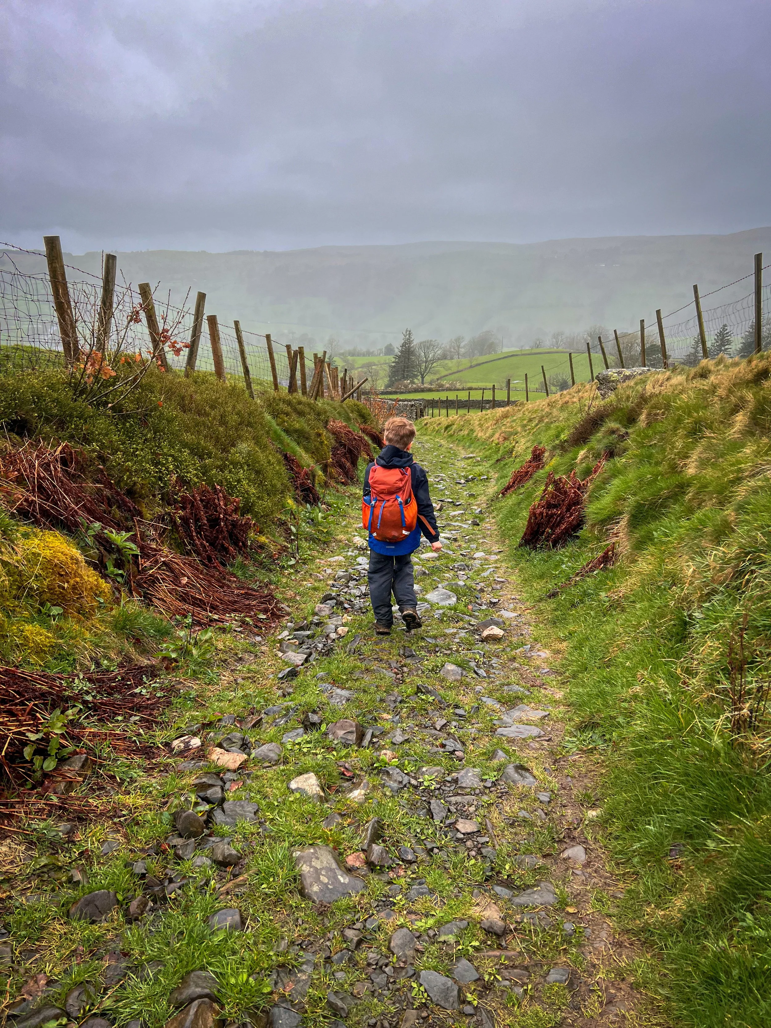
The path to the road if you’re met with super muddy conditions
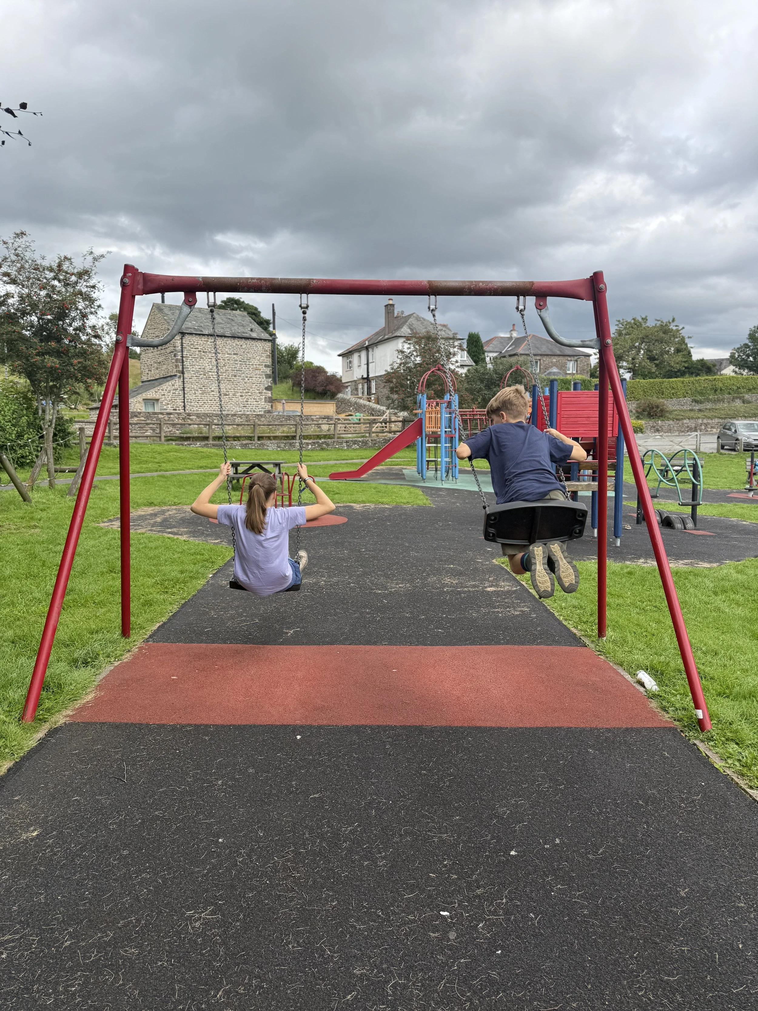
What’s cool for kids on this walk?
✨ Winder is a genuine locals fell. So be kind. She is little but she is fierce! I’ve tried to do some research as to why the view point was added to Winder and yet not The Calf. I reckon it’s because Winder is actually Sedbergh’s secret favourite child….
🧒 PARKS! Well just one technically on this walk, but Sedbergh has two play parks to explore if you are so inclined! To find more parks in the area, head to our A-Z of Parks!
🍧 ICE CREAM! Lockbank Farm is the home of Howgill Fellside Ice Cream, and you walk straight past! They do have a kiosk - but only in season.
🌳 why not try one of our walking games? Or you can download a free scavenger sheet!
Helpful Information!
For more helpful information head to our safety tips and advice page.
⭐ We hope you enjoy our walks, but please exercise common sense as routes can change with the weather conditions and seasons! These walks are intended as a guide only and are undertaken at your own risk. The routes have been walked by our own two feet, but you know your own limits. If in doubt, turn back. Always take a back-up map, don’t rely on GPS or your phone alone, wear appropriate clothing for the weather and take adequate snacks and refreshments with you (although as a parent, I know you already know that bit!)
⭐ Leave no trace! Take nothing away and leave nothing behind, take all rubbish home with you.
⭐ If you choose to paddle, be aware of bio security. Always wear clean dry water shoes (if worn) to avoid cross contamination of species between watercourses, this is a particular issue in the Yorkshire Dales, to help protect the white clawed crayfish.
⭐ If you decide to paddle, be aware that wild water can be dangerous, and water levels will vary season to season. Always supervise children around water. Check out the safety information on the Royal Life Saving Society website.

Staying in the Westmorland Dales?
We have a Visit with Kids guide to provide you with all the family friendly inspiration you need! Think family friendly walks, local attractions and importantly, where to find the ice cream (and the play park!)
So check out
Visit Sedbergh, Dentdale and the Westmorland Dales with the Kids Guide

Want to grab the route?
Head to the Ordnance Survey Navigation App where you can download the route!
(Always carry a back up map and know how to use it)
Image is Copyright of Ordnance Survey
Scroll using the arrows for all our Family Friendly Walks
-
![Swimming in Janet's Foss Yorkshire Dales]()
Waterfall Walks
-
![Malham cove walk for kids]()
Pushchair Friendly
-
![Pinhaw Beacon trig point walk near Skipton]()
Peak Bagging Walks
-
![The Park at Greenhow Nidderdale]()
Walks with Play Parks
-
![Gordale Scar in Malham Yorkshire Dales]()
Organised by Location
-
![Walking in the woodland in Wensleydale]()
Woodland Walks
-
![Playing on the shore of Embsay Reservoir Yorkshire Dales]()
Reservoir Walks
-
![The ruins of Bolton Abbey]()
Bolton Abbey Estate Walks
-
![Leaping over the stile at Almscliffe Crag]()
Walks Under 2 Miles
-
![Child walking into a pub in Appletreewick]()
Walks with Pubs and Cafes





Follow us for up to date Outdoors Adventures!
We live and BREATHE the Yorkshire Dales outdoors life!
BEEN INSPIRED? Tag us @reluctantexplorers
Come follow our journey over on Instagram and Facebook where you’ll find up to date walk info, breaking news on Yorkshire Events, new Yorkshire Dales wild swim spots, climbing, caves and more!


Follow us on Social Media for all the up to date info: @thereluctantexplorers

Leave No Trace
The Yorkshire Dales is our home, and the home of so many others who care deeply about this beautiful space.
Should you visit, make sure to:
Take home anything you bring, leave no rubbish behind.
Make the world a better place by picking up any rubbish you see, even if it isn’t yours.
Leave everything else as you found it.