
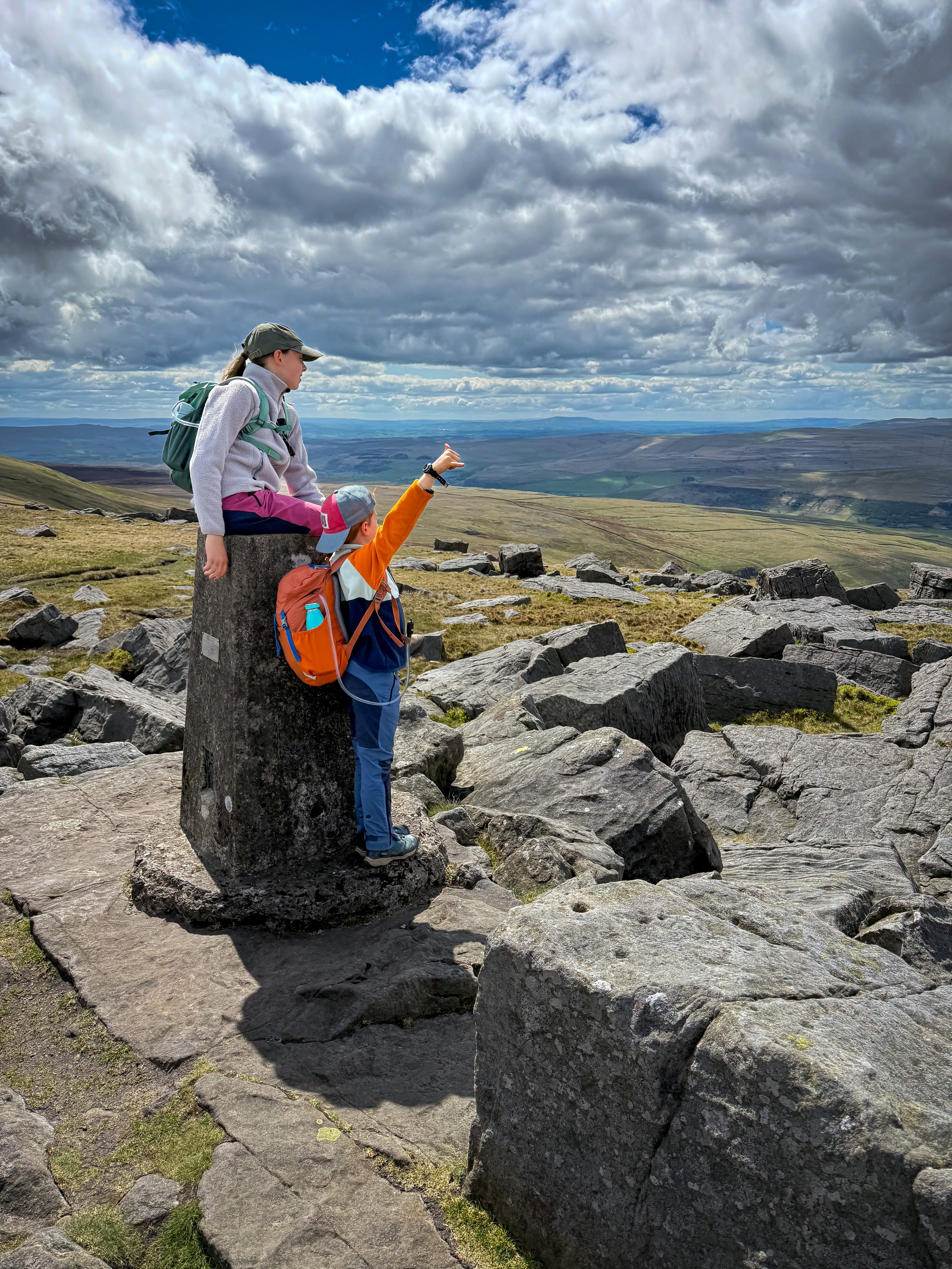
Great Whernside
Want to walk up Great Whernside?
Not to be confused with it’s famous cousin, Whernside (one of the Yorkshire 3 Peaks) this bad boy is the 6th highest peak in the Yorkshire Dales and is located in Kettlewell in the Yorkshire Dales.
It’s a cracking achievement for a budding peak bagger!
And even better? It’s got two routes, one for younger and one for older kids!
Are you ready to climb Great Whernside?
This family friendly walk to one of the biggest peaks in the Yorkshire Dales will take you past the highest chapel in England at the incredibly remote and reputedly haunted, Hag Dyke Hostel.
This is a peak the kids and I have now climbed several times, from a young age to… well now! So this route has evolved alongside them and now has a longer version (which is my personal favourite) But never fear, the shorter one is a good ‘un too and takes you past a bit of quirky Kettlewell history!
What’s the difference between Whernside and Great Whernside?
Well they are two different peaks in two totally different parts of the Dales, Whernside, being the highest mountain in the Yorkshire Dales (and for that matter, the whole of Yorkshire!) and Great Whernside, coming in a little lower in 6th place. Still one of the Yorkshire Dales Nuttalls, this peak is not to be ignored and is far quieter than its more famous cousin, but here you’re more likely to bump into a group of scouts out on a navigation exercise than a huge group of Yorkshire Three Peakers!
But did they REALLY run out of ideas for name? Well, you’ll have to check that out below!

Buy Me a Coffee
Make a Donation
Thank you for taking the time to have a look at my website and for reading this now!
I set up the Reluctant Explorers and maintain the website and attached social media accounts in my spare time, around mum-life and two jobs. It was designed to provide access for parents to free resources to help get more families outside and exploring in nature. These walks have all been created by myself and the kids and we have walked each one ourselves (and re-walk them regularly to keep the information as up to date as we can).
If you would like to support us and can afford a few pennies, you can make a donation to our ‘Buy Me a Coffee’ page. Simply tap the button below to head there!
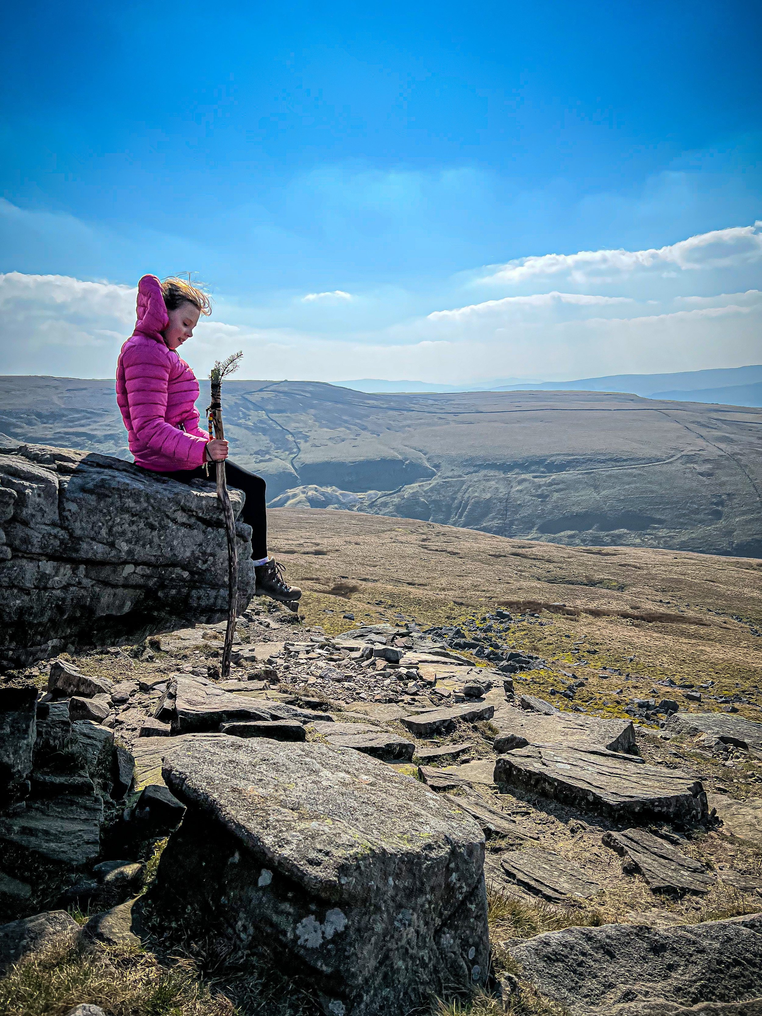
One of the sitting rocks on the ridgeline above Hag Dyke
What are the walk details for Great Whernside?
Distance: Shorter: 5-6 miles Longer: 7-8 miles
How long will it take? Shorter: We took our time and it took us around 4 hours. This includes snack, lunch and paddle stops along the way. Longer: I would leave 5-6 hours at least for doing this with the kids.
Terrain: The tracks and paths are pretty clear and easy to spot. There are good waymarkings and signposts on this walk too. Ascent is around 1800 feet. It is very boggy on the plateau up from Hag Dyke, before you reach the final ascent. Some bog hopping is required! Navigation skills and a map is a must, this is a mountain and in poor visibility will be tricky to navigate.
Is there parking? At Kettlewell Yorkshire Dales Car Park.
Where does this walk start? Kettlewell
Can I get here by public transport? Yes, there are several buses that stop at the car park in Kettlewell. Check out the Dales Bus website for up to date timetables.
Dog Friendly? Yes - there has been grazing cattle on this walk.
What map will I need? OS Explorer OL30 Yorkshire Dales Northern and Central affiliate link as an Ordnance Survey Champion
What 3 Words: tight.contain.duplicate (car park and start point)
Toilets/ Baby Change: Yes, at Kettlewell Car Park.
Nearest Cafe/ Amenities: Kettlewell has pubs, shops and an ice cream kiosk.

Checking the map on the initial ascent from Dowber Gill Beck.
How to walk to Great Whernside
Directions to be used alongside a map
From the Kettlewell Pay and Display, head out of the car park near to the toilets, you will be able to see the road bridge across the beck and the bus stop. Cross the road to the Yorkshire Dales Ice Cream kiosk that’s on the opposite side, keeping to the right hand side of the bridge. Head along the road here (Middle Lane)
You will hit a little triangle in the road (to head right here takes you to the play park - remember that for later!) but for this walk, keep left and head past the Kings Head pub, which will be on your left. Ignore the fact that the road bends to your left, keep following the road straight on, keeping the beck to your left hand side.
Eventually you will notice that the houses begin to peter out and become a little more sparse as you emerge from the eastern side of the village. The still tarmacked road will begin to narrow more, until it reaches a final fork. On your right there is stony path which heads upwards signposted public bridleway, Whernside Pastures (ignore that!) ahead you will see that the previously surfaced road, becomes a stony track, and to your left there is a further bridge over the beck. Here, head straight on, keeping to the right hand side of the water.
There is a signpost saying Great Whernside via Hag Dyke 2ml, follow this. You will pass a couple of utility like buildings, before you see a stone built bridge crossing the beck. Cross this bridge and immediately on the other side, there is a signpost for Hag Dyke and Providence Pot. Turn right and follow this (the beck will now be on your right)
After a very short distance, you will see a wooden gate in the wall to your left. Continue through this, this is the start of your ascent. There is a field to the left, often with campers on it during the warmer months, follow the wide, well trodden path upwards.
You will continue over a stone stile, then through an open gateway in a drystone wall, all the time keeping on upwards. You will pass through gates and gaps in the various dry stone walls as you continue and to your right, you will begin to gain height over Dowber Gill beck, which is the beck you crossed earlier.
After around 3km (just short of 2 miles), you will reach Hag Dyke. Here, there is a five bar gate into the Hostel, and a signpost pointing to Kettlewell and Great Whernside. Here is your chance to cut the walk short should it go a bit pear shaped! Simply follow the sign and head back to Kettlewell along the Hag Dyke access road (jump to point 13). It is also your return route from the shorter version of this walk, and you will need to head back to this sign before you make your return.
For those soldiering on, you will be following the signpost for Great Whernside and heading along the path on the driveway into Hag Dyke. The public footpath continues around the back of the hostel. You will see the gap in the drystone wall to the right hand side of the building (now featuring a very clear footpath sign). This is the path, follow it to the gate on the far side, then you are heading left and uphill again.
Following roughly the line of the dry stone wall, there are several routes up this section. The most obvious route, heads uphill roughly following the dry stone wall that is parallel to your left and at a short distance away. You will reach the ridge (excellent place for sitting rocks) and a large cairn before continuing straight on along the plateau. I say plateau, there is a gradual ascent, but is far flatter than any ascent so far.
Here it can be very boggy. Not impassable (we have attempted it in all weathers!) but there are sections where you might have to deviate off the path a little to avoid the worst. The path is more or less straight on heading in a north easterly direction. There are yellow topped waymarker sticks to help keep you on track. Ahead of you, you will see the path which is a little steeper. That marks the final ascent to Great Whernside.
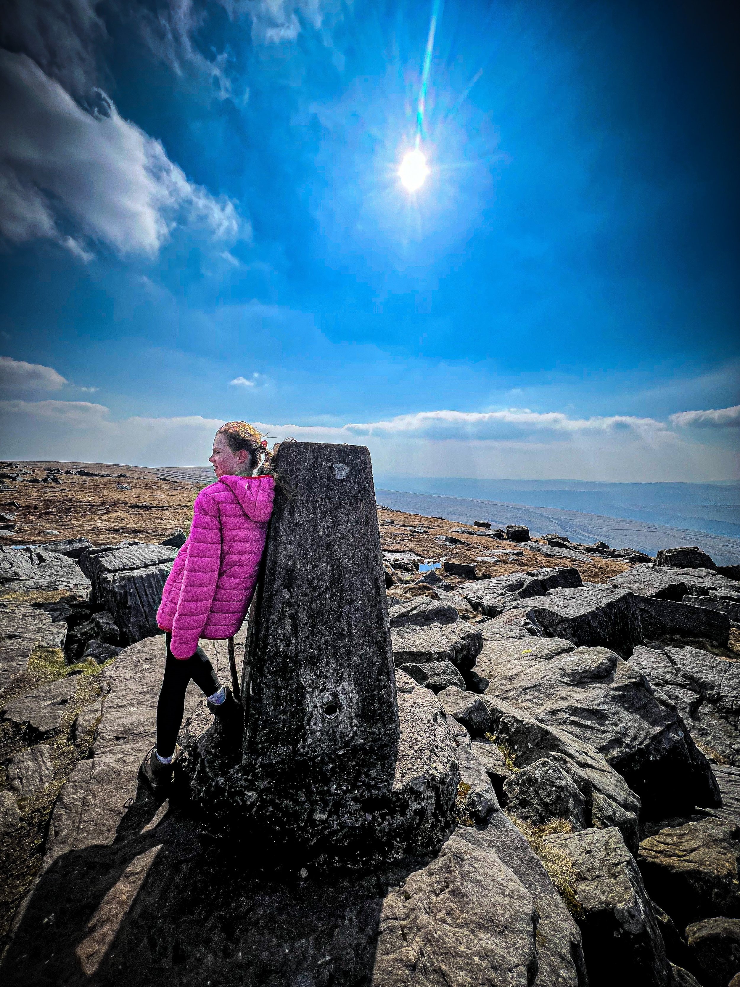
When the gradient steepens again, you are on the final bit of ascent! Keep going straight on and upwards, parts of this path are stepped, parts not. Either way, you’re on a clear path. You will notice a lot of boulders and then peeping out, on your left, the trig point. Make your way to that. Next to it is the huge summit cairn. For the longer route head to point 15.
Shorter Route:
From the top, head back the way you came to Hag Dyke, then turn right at the gate into Hag Dyke. It is signposted Kettlewell, and comprises a wide stony track (which is used as an access track to Hag Dyke - the signpost we saw earlier). You need to follow this track more or less all the way back! It’s easy to navigate this bit! COW WARNING! I know that some people aren’t keen on our bovine friends. We encountered some cows at this point. Not in the slightest bit worried about us, but a heads up nevertheless!
About a mile along the access track, you will reach a T junction with another access track. Here turn a sharp left and continue along this route. 750 yards along this track is the remains of the Kettlewell Smelt Mill, which you can head through the gate to go see. It is on your right and is accessible to the public. There are information boards about its history here. There is a bridge and a beck, where we stopped for a paddle.
Head back to the stony track from the smelt mill and turn right. Continue along to the bridge where you originally started the climb of Great Whernside, then retrace your steps back into Kettlewell
Longer Route:
From the summit cairn and trig point as you approach the summit, you need to turn left here. You will be heading north along the ridge line of Great Whernside, which gives you incredible views. There is a boundary fence, which you need to keep to your right. This is actually the boundary of the Yorkshire Dales National Park. Go beyond that and you set foot into Nidderdale National Landscape, and a little further beyond and down is Angram and Scar House Reservoirs!
Continue to follow the path that is the closest to the fence, there are some offshoots to the left, but essentially, you want to handrail the fence line until you reach a corner with a drystone wall. Here, turn left and head downhill, keeping the wall to your right. From here, you have views of the Yorkshire Three Peaks on the horizon!
A short distance downhill and you will see a wooden stile in the wall to your right. Cross this and continue to follow the path downhill. It is clear and obvious. As a guide, look up and you will see a very long straight dry stone wall intersected by a more wobbly wall. Beyond that is a wide plateau and on that, the road between Wharfedale and Coverdale. You need to aim for that. The path is clear for the full distance.
As you reach that drystone wall, head through a gate (to the left of this is a cattle warning sign, so be aware.) Beyond the wall, you might notice that there is a clear and defined ‘moundy bit’. This is Tor Dyke, the remains of a Brigantian earthwork, which stretches for around 2000m! It is believed to form part of a rampart which protected the area from invaders. This dates back nearly 2000 years! Cool huh?
Follow this moundy bit to the road and cross to the other side. At the cattle grid the path bears to the left a little and loosely follows the drystone wall at a distance to begin with. Again, it is visible on the ground and clear to see and eventually meets up with that wall, then following it closely. You will head through a wooden gate, then a little way beyond, you will see a signpost.
The signpost points you in the direction of Kettlewell, along the bridleway. This is where you need to head. The path forks at this point, and you need to keep left. This track is very wide and turns from a grassy one to a stony one as it descends back into Kettlewell.
Once back in the village, you will hit the road. Here, keep straight on before turning right and heading back into the village. Keep walking straight on and you will find yourself back on the bridge where you began!
Last walked May 2025.

Looking back towards Kettlewell from the initial ascent.
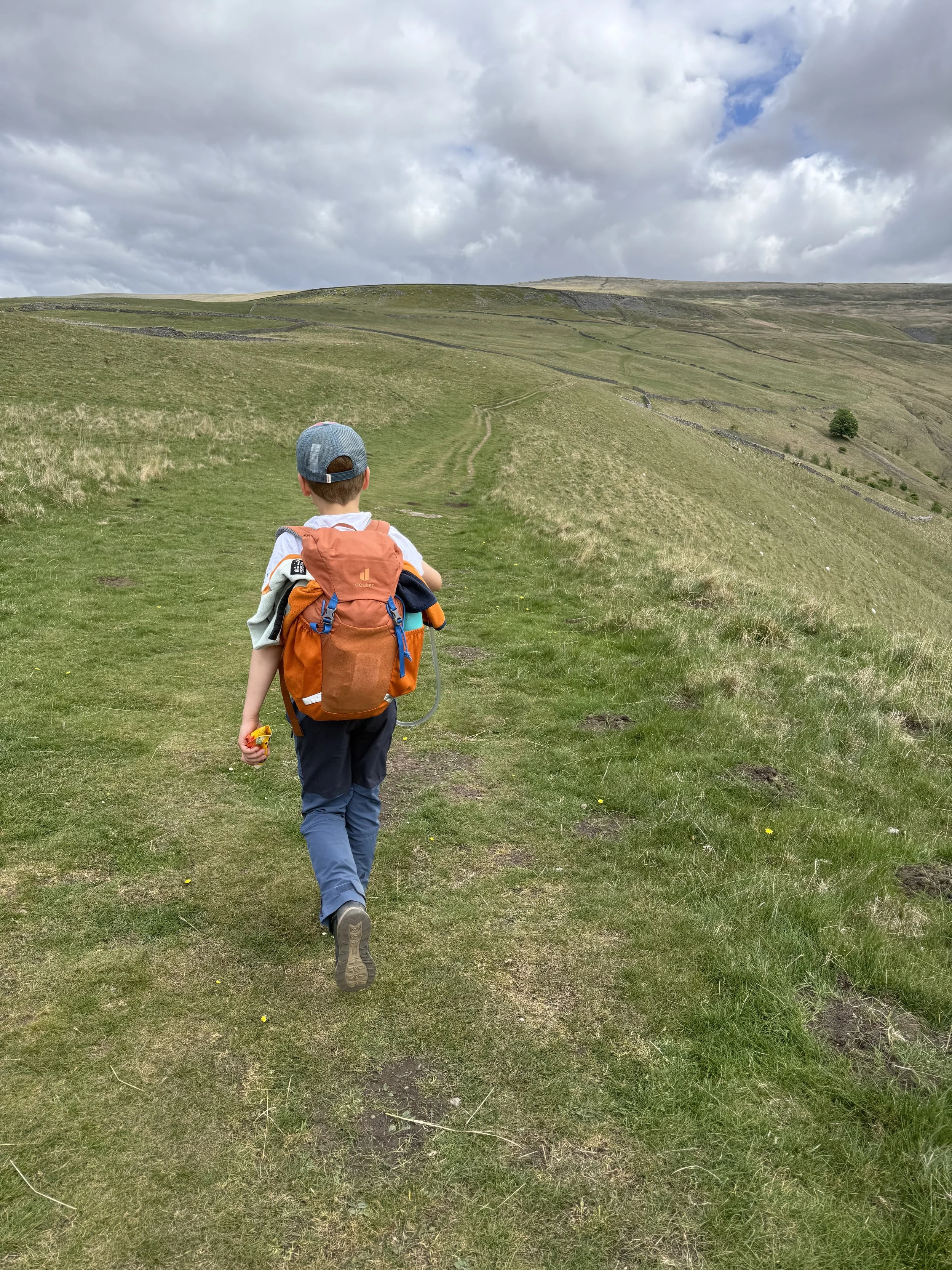
Walking along to Hag Dyke with the summit of Great Whernside ahead. You can see the path is wide, clear and easy to spot!
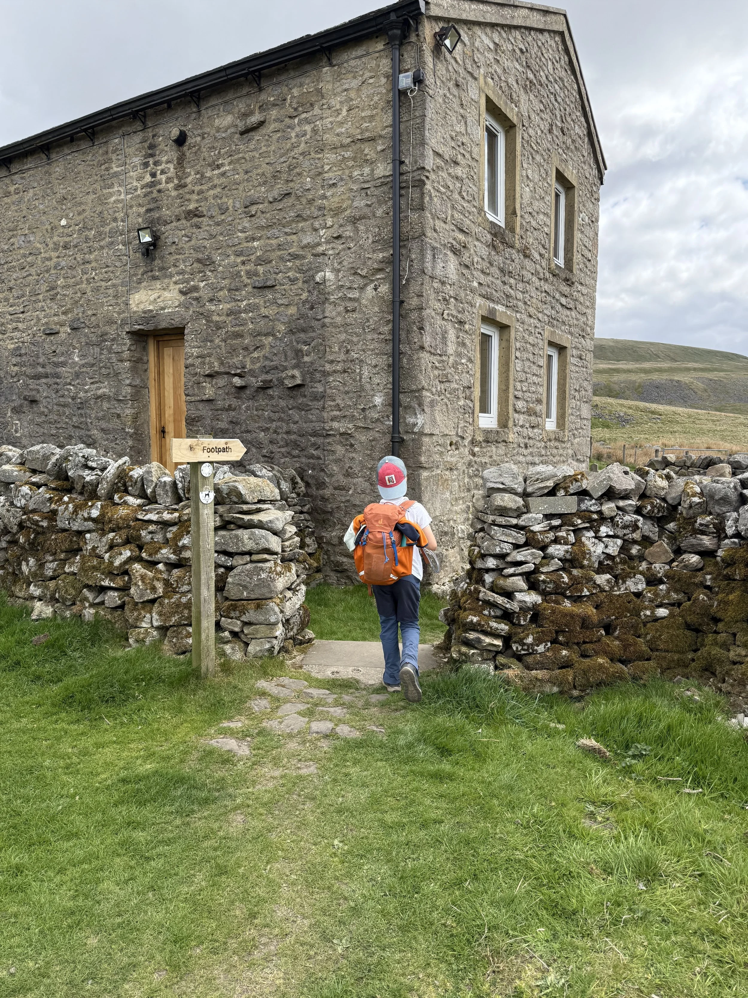
The path that goes around Hag Dyke. You can’t miss it!
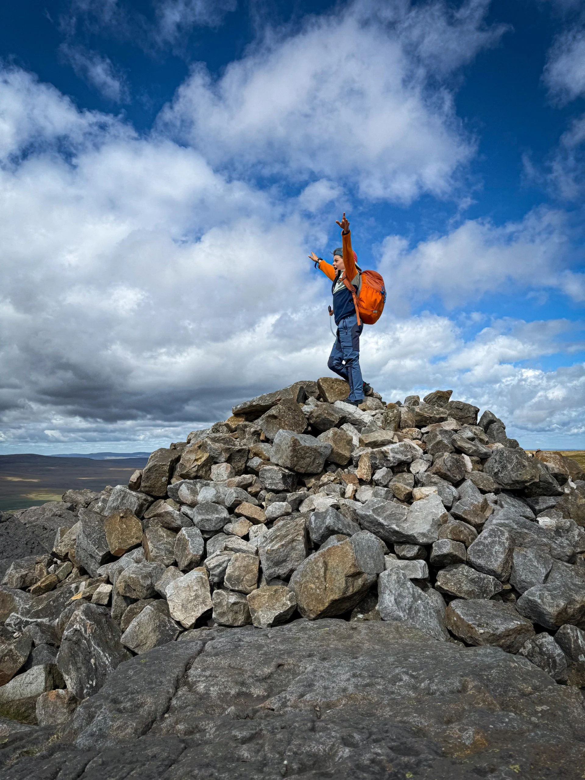
The summit cairn of Great Whernside
The Shorter Route

Heading back down towards the ‘boggy bit’…

Looking towards Buckden Pike in the distance.

The paddle spot at the old Smelt Mill ruins
The Longer Route
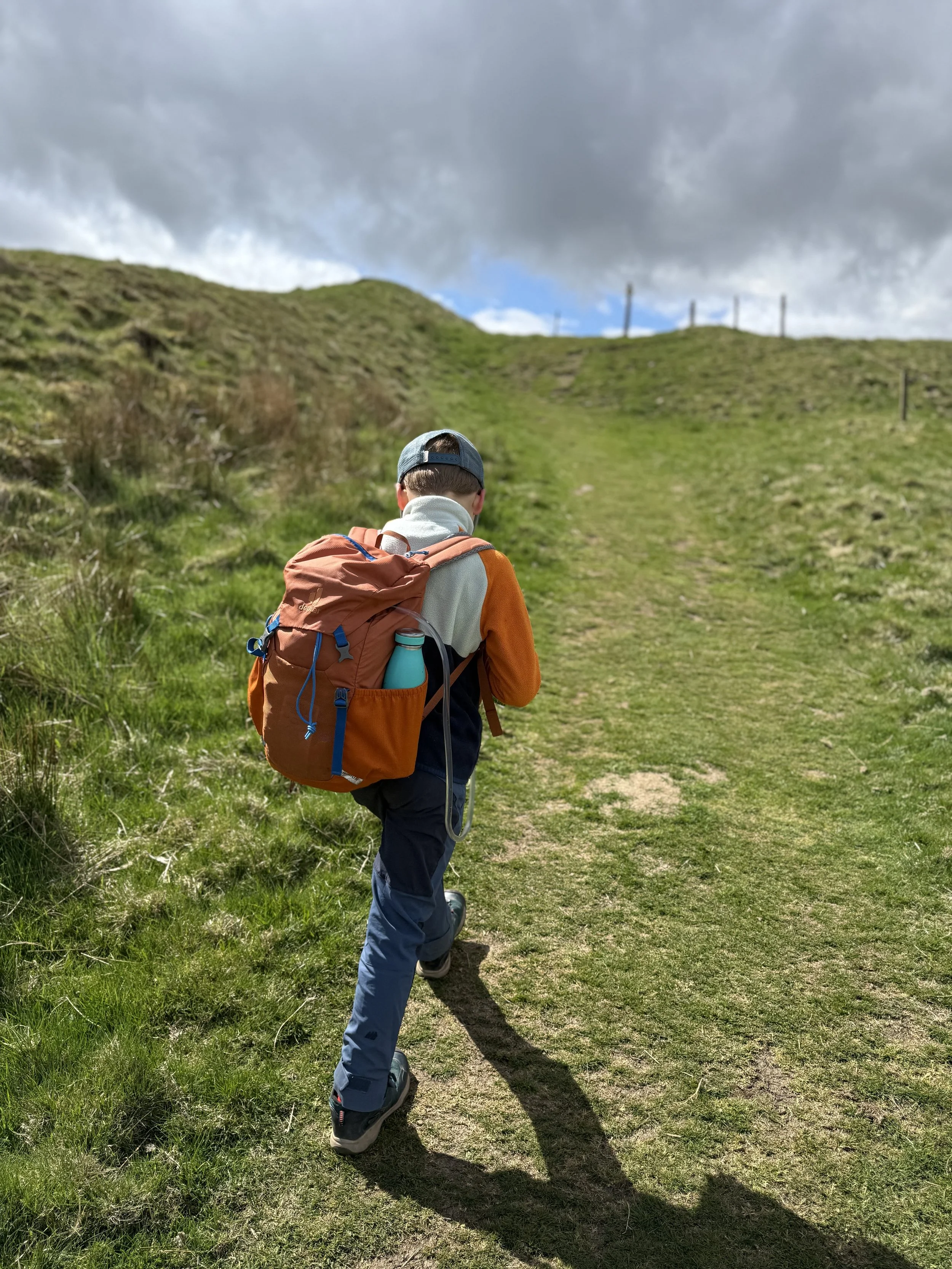
Walking along the earthworks of Tor Dyke which date back to the Dark Ages
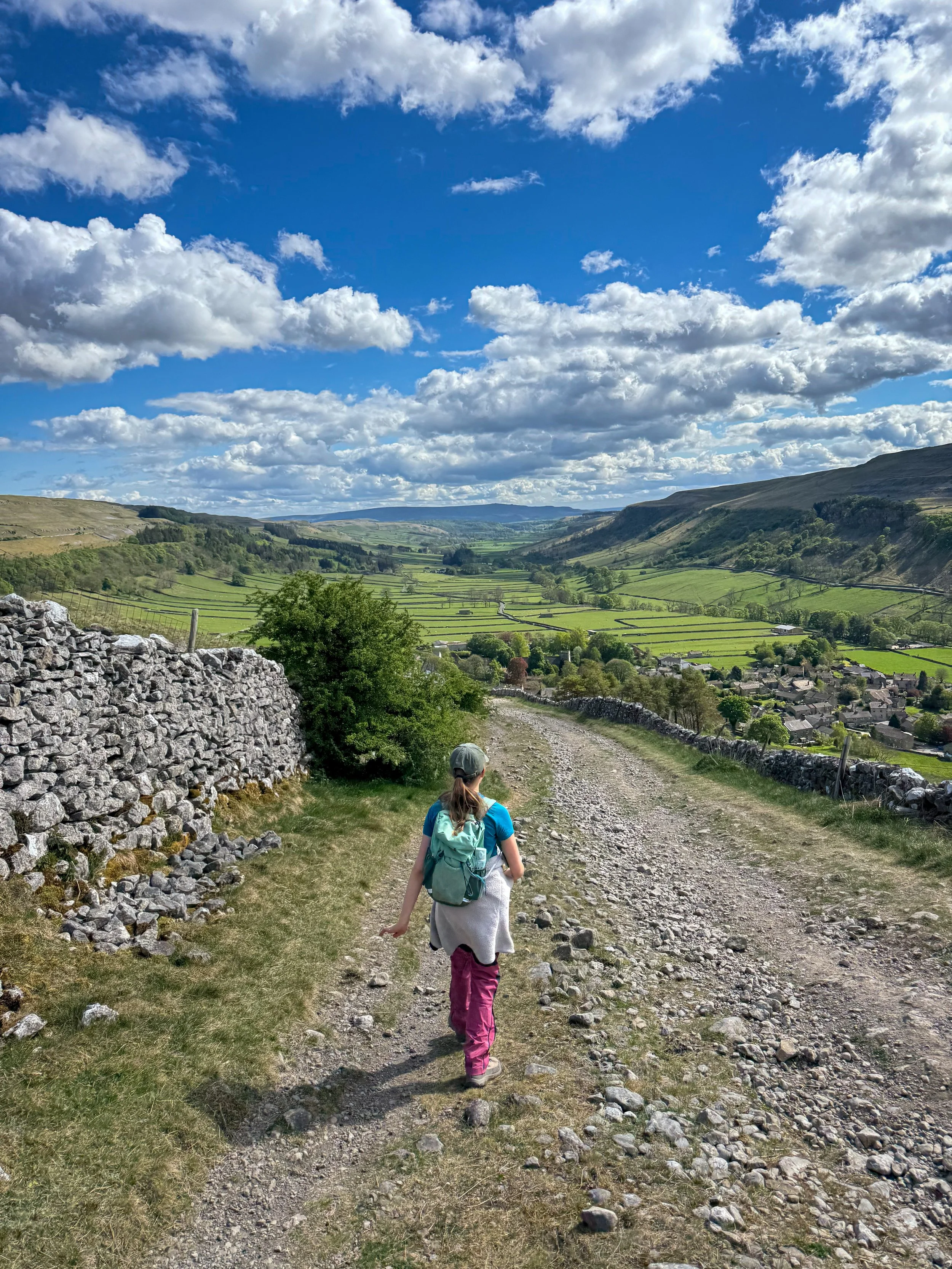
Walking back into Kettlewell
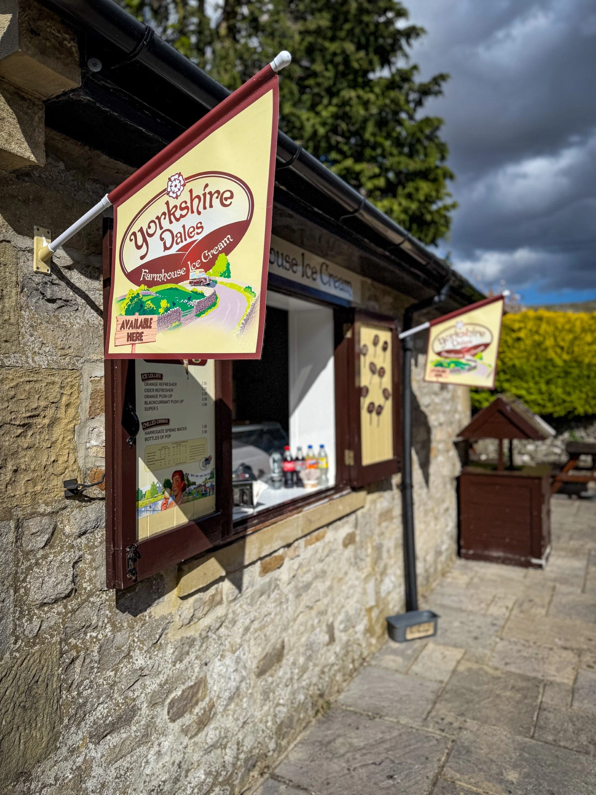
The Yorkshire Dales ice cream hatch
What’s cool for kids?
🍦 Ice Cream! The Yorkshire Dales Ice Cream Kiosk is a permanent fixture in Kettlewell. A very well earned ice cream is needed here!
🧒 There is a park in Kettlewell too, that you can head to at the end of this walk. Park bribery is the best bribery!
💦 There are paddle spots at the old Smelt Mill and also at the river in Kettlewell. If you choose to paddle, be aware that The Wharfe can rise quickly after periods of rain, and be aware of changes in depth and that they can occur suddenly. Always supervise children around water.
🍻 Not one, not two, but THREE pubs are at the end of this walk. So take your pick! Or just do all 3….. We love the beer garden outside the Bluebell.
✨ Ok, why are there two Whernsides and why is that smelt mill so quirky?
Whernside actually means where the mill stones are found. Both the top of Whernside and Great Whernside is made up of a type of rock called millstone grit, you’ll find a lot of it in the Dales, along with limestone. You’ll notice the top of Great Whernside is a bit sandy or gritty, that’s the millstone grit which causes that.
Its the type of rock which makes for good grinding stones, so perhaps Great Whernside was where you found the really good ones! (Or it’s in reference to the quantity found…)
The smelt mill, well that was sold to the army who reduced it to rubble! Why? Well it turns out the army needed to test a new explosive and the old mill was a prime candidate for blowing up!
🌳 It’s not called Great Whernside for nothing, so what can you do to help beat the whinge factor? Well, don’t forget the snacks (I absolutely did NOT forget the snacks on this walk. And nobody moaned. And those snacks did not include a cream egg. Which was absolutely NOT left in the car…..) We recommend this walk for older adventurers, so why not hand over the map and let them do a bit of navigating? Or why creating your own wandering stick? Or if all else fails, check out our walking games.
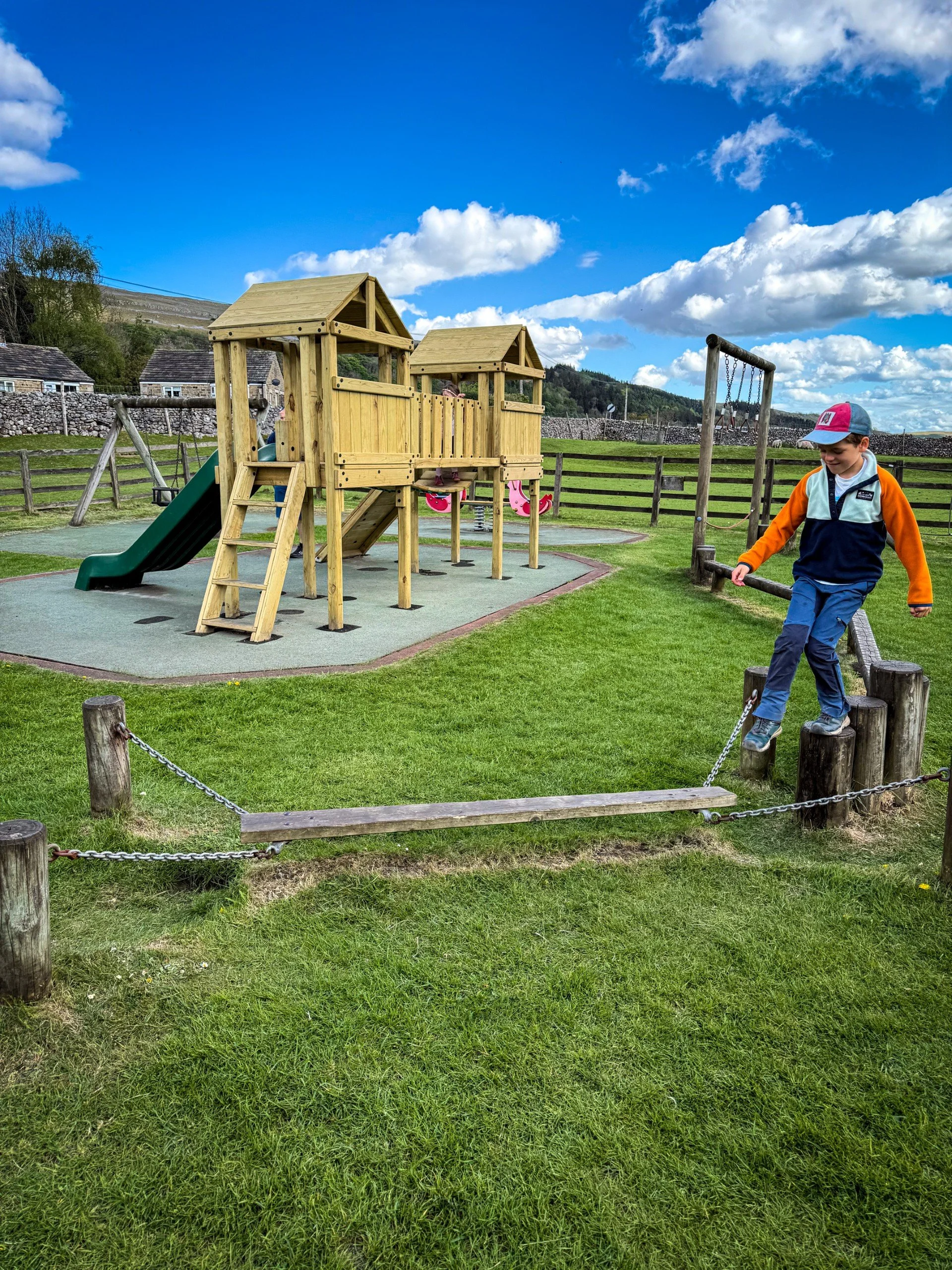
The play park at Kettlewell
Helpful Information!
Remember, you are playing with a mountain here, so check out our dedicated Safety information and Helpful advice page to find out more.
⭐ We hope you enjoy our walks, but please exercise common sense as routes can change with the weather conditions and seasons! The routes have been walked by our own two feet, but you know your own limits. Always take a back-up map, don’t rely on GPS alone, wear appropriate clothing for the weather and take adequate snacks and refreshments with you (although as a parent, I know you already know that bit!)
⭐ Leave no trace! Take nothing away and leave nothing behind, take all rubbish home with you.
⭐ If you choose to paddle, be aware of bio security. Always wear clean dry water shoes (if worn) to avoid cross contamination of species between watercourses, this is a particular issue in the Yorkshire Dales, to help protect the white clawed crayfish.
⭐ If you decide to paddle, be aware that wild water can be dangerous, and water levels will vary season to season. Always supervise children around water. Check out the safety information on the Royal Life Saving Society website.
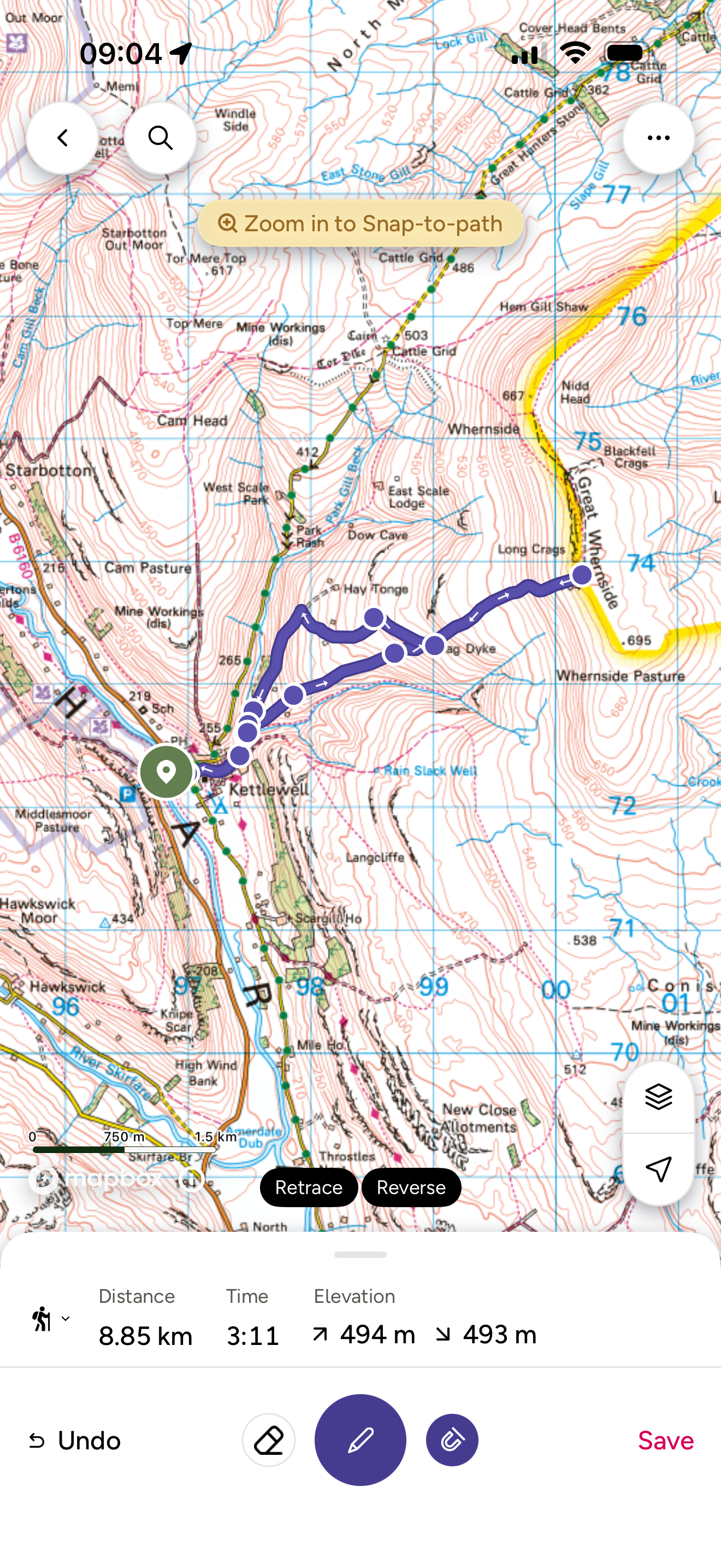
Want to grab the short route?
You will need an Ordnance Survey OL30 For Northern and Central Yorkshire Dales for this walk. Grab one from the Ordnance Survey online shop!
(Always carry a back up map and know how to use it)
Image is Copyright of Ordnance Survey
(Affiliate Link as an Ordnance Survey Champion)
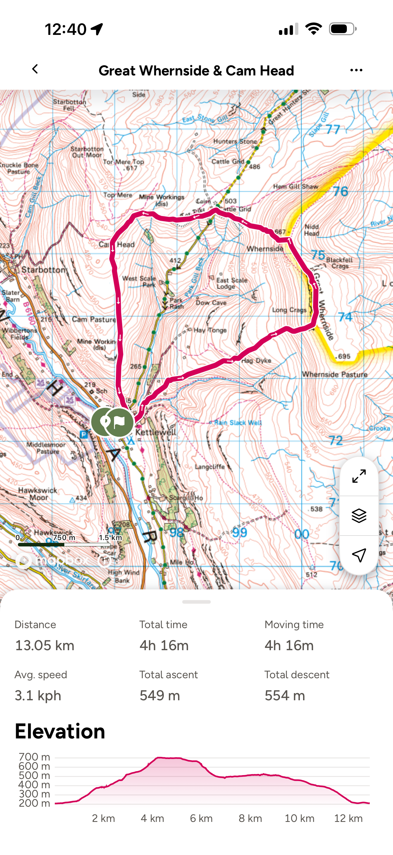
Want to grab the long route?
You will need an Ordnance Survey OL30 For Northern and Central Yorkshire Dales for this walk. Grab one from the Ordnance Survey online shop!
Or you can head to our tracked route on the Ordnance Survey app - just tap the button below.
(Always carry a back up map and know how to use it)
Image is Copyright of Ordnance Survey
(Affiliate Link as an Ordnance Survey Champion)
Staying in the Kettlewell area?
We have a Visit with Kids guide to provide you with all the family friendly inspiration you need! Think family friendly walks, local attractions and importantly, where to find the ice cream (and the play park!)
We have a dedicated guide for families staying in Wharfedale, so why not check it out!
Scroll using the arrows for all our Family Friendly Walks
-
![Swimming in Janet's Foss Yorkshire Dales]()
Waterfall Walks
-
![Malham cove walk for kids]()
Pushchair Friendly
-
![Pinhaw Beacon trig point walk near Skipton]()
Peak Bagging Walks
-
![The Park at Greenhow Nidderdale]()
Walks with Play Parks
-
![Gordale Scar in Malham Yorkshire Dales]()
Organised by Location
-
![Walking in the woodland in Wensleydale]()
Woodland Walks
-
![Playing on the shore of Embsay Reservoir Yorkshire Dales]()
Reservoir Walks
-
![The ruins of Bolton Abbey]()
Bolton Abbey Estate Walks
-
![Leaping over the stile at Almscliffe Crag]()
Walks Under 2 Miles
-
![Child walking into a pub in Appletreewick]()
Walks with Pubs and Cafes





Follow us for up to date Outdoors Adventures!
We live and BREATHE the Yorkshire Dales outdoors life!
BEEN INSPIRED? Tag us @reluctantexplorers
Come follow our journey over on Instagram and Facebook where you’ll find up to date walk info, breaking news on Yorkshire Events, new Yorkshire Dales wild swim spots, climbing, caves and more!


Follow us on Social Media for all the up to date info: @thereluctantexplorers
Leave No Trace
The Yorkshire Dales is our home, and the home of so many others who care deeply about this beautiful space.
Should you visit, make sure to:
Take home anything you bring, leave no rubbish behind.
Make the world a better place by picking up any rubbish you see, even if it isn’t yours.
Leave everything else as you found it.