

Thruscross Reservoir
Thruscross Reservoir is the highest of the Washburn Valley Reservoirs, and the youngest.
Built in the 1960s, almost a century after the first Washburn Reservoir this family friendly walk will take you all around the edge.
Where is Thruscross Reservoir?
Thruscross reservoir is located just upstream from Fewston and Swinsty reservoirs and is the baby of the Washburn Valley reservoirs. It's remote location and elevated position means that a walk around Thruscross will almost certainly give you fabulous views across the surrounding moorland.
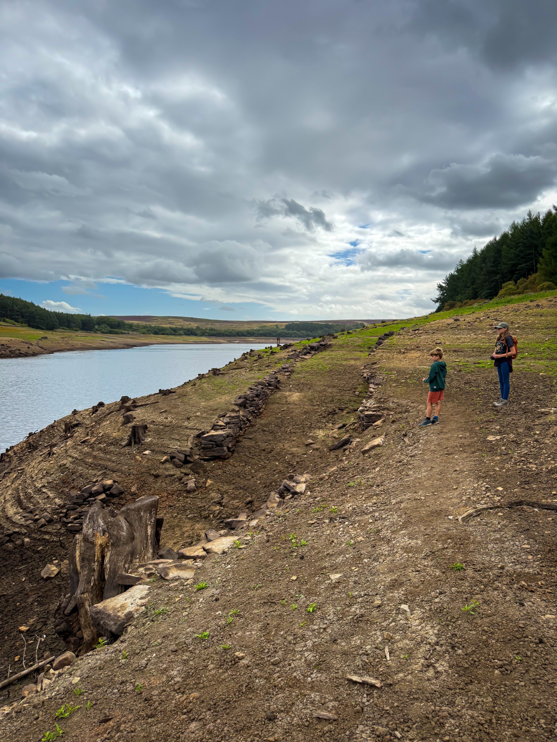
If you visit in a dry year, you might even see the remains of the village of Thruscross begin to emerge from the water, which is always a spectacle to go and see! In severe drought, the water levels will drop so low, that the old bridge over the river emerges, laying bare the old houses, church and other buildings that once stood where the reservoir now sits. Spin tingling stuff right?
Located between Otley and Pateley Bridge, this is a top family friendly reservoir walk and a proper adventure.

Buy Me a Coffee
Make a Donation
Thank you for taking the time to have a look at my website and for reading this now!
I set up the Reluctant Explorers and maintain the website and attached social media accounts in my spare time, around mum-life and two jobs. It was designed to provide access for parents to free resources to help get more families outside and exploring in nature. These walks have all been created by myself and the kids and we have walked each one ourselves (and re-walk them regularly to keep the information as up to date as we can).
If you would like to support us and can afford a few pennies, you can make a donation to our ‘Buy Me a Coffee’ page. Simply tap the button below to head there!

Thruscross in a drought year.
Thruscross Reservoir walk details
Distance: 5-6 miles.
Terrain: Easily identifiable and well walked paths. A little ascent. Well maintained reservoir paths, and some moorland terrain.
Parking: Thruscross has its own car park where charges apply.
Public Transport? There are seasonal buses to Thruscross, that stop at the Stone House pub. To walk to the bus stop and back adds a further 2 miles to the walk. Find out more details on the Dales Bus website.
Dog Friendly? Yes
Location: Washburn Valley between Otley and Pateley Bridge
Map: OS Explorer 297 Lower Wharfedale and Washburn Valley or check out the Yorkshire Water Thruscross Reservoir trail map! Affiliate link as an Ordnance Survey champion
What 3 Words: conqueror.quibble.snoring
Toilets/ Baby Change: No

Walking along the upper reaches of Thruscross in Drought.
How to walk around Thruscross Reservoir
Directions to be used in conjunction with a map
From the car park, exit and cross the road. There is a gap in the fence opposite, head through that and into the trees. The path is clear, waymarked and you need to follow it all the way along the Western Shore of the reservoir until you reach the ruin at West End, and the western tip of the water.
The path will lead you away from the edge of the water towards the road, and you will see a footbridge to your right with metal railings that crosses Capelshaw Beck. Cross this, and the path will head very briefly along the edge of a layby on the road. On your right you will see a large wooden gate that says welcome to Thruscross reservoir on it and on the fence, a Yorkshire Water waymarker. Follow that.
You will be on a wide stony path that is now headed in an Easterly direction. Follow the clear path as it heads along the edge of the reservoir and back into the trees. You will pass the ruin of a building (High Liar) out in the field to your left, and then turn to head northwards, at all times following the waymarked route. 2026 update. What was the diversion because of the damage caused by Storm Arwen, has now become the permanent route. There is no longer a path through the trees.
Follow the yellow waymarker over the stile and out of the trees. The path closely follows the line of the wire fence and trees on your right. It heads over a stone stepped stile and then across the moorland, again keeping the tree line and wire fence on your right. You will come across a wooden sign pointing ‘The Yorkshire Way’ and that’s the direction you need to head in.
At the end of the tree line, the footpath steeply descents down steps towards the River Washburn. It crosses a bridge and then heads back up the other side past some interesting looking rocks, then heads right. The wide path heads along the centre of the moorland, keeping the tree line and Thruscross Reservoir on your right parallel to your path, at some distance away. Don’t take the path that heads leftwards, that will take you up to the road. It is a wide dirt and grassy track, which heads through ferns and heather.
As you come towards the boundary wall, the path descends rightwards heading back towards the trees that line Thruscross. There is a stile over a fence that heads down a stony stepped path that descends along the wall through the trees
At the bottom, turn left. Head along the edge of the water as the path leads you back towards the dam wall. There is a small amount of road walking towards the end of this walk so be wary of cars, but the path is clear and easy to follow. Head back across the dam to the car park.
Last walked August 2025
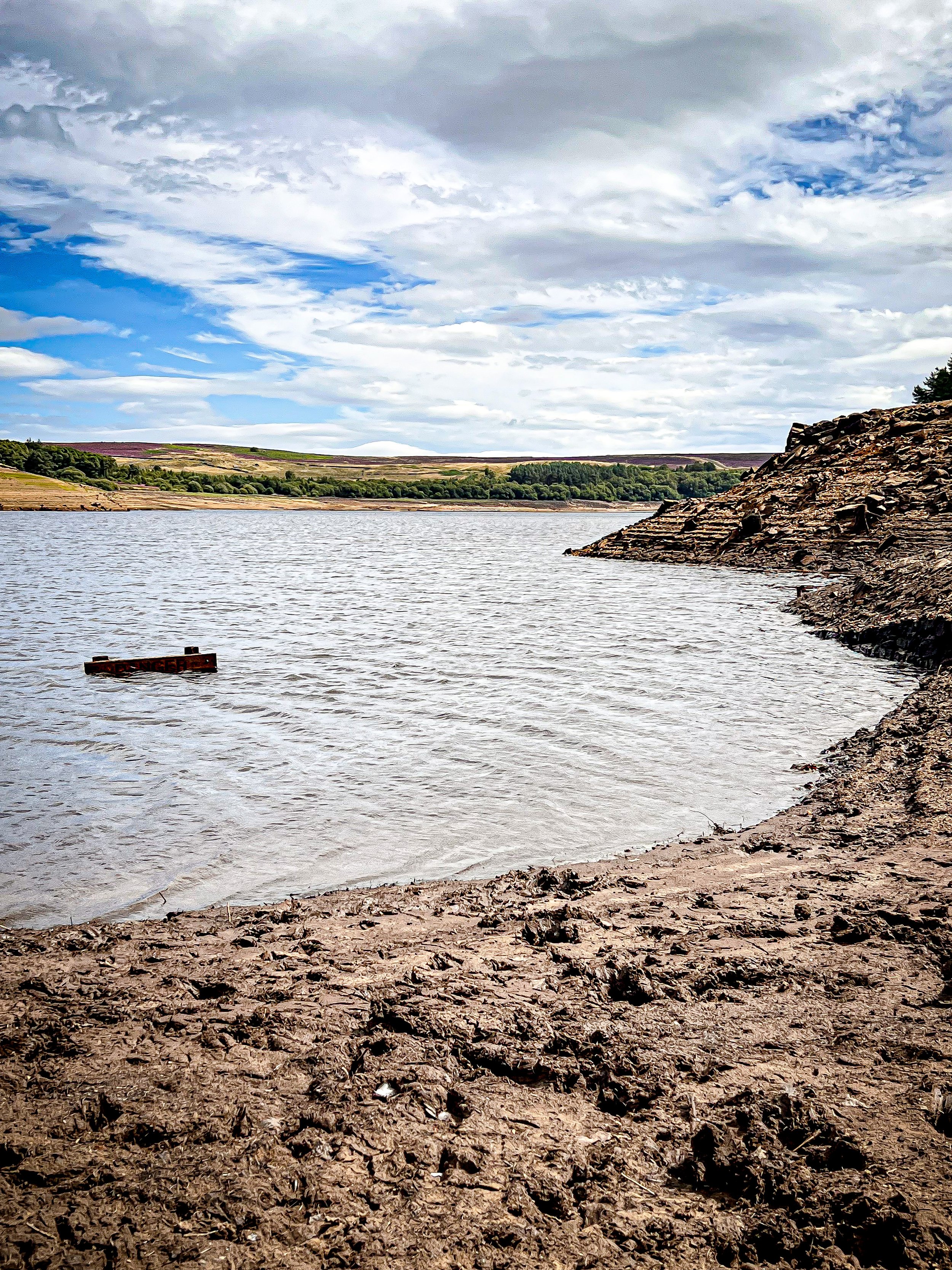
(Photographs were taken during the droughts of Summer 2022 & 2025 when water levels were extremely and unusually low.)

Exploring the ruins at the top of Thruscross, I think this was once a flax mill

One of the old trees felled in the construction of the reservoir, this would normally be underwater. Drought 2022.
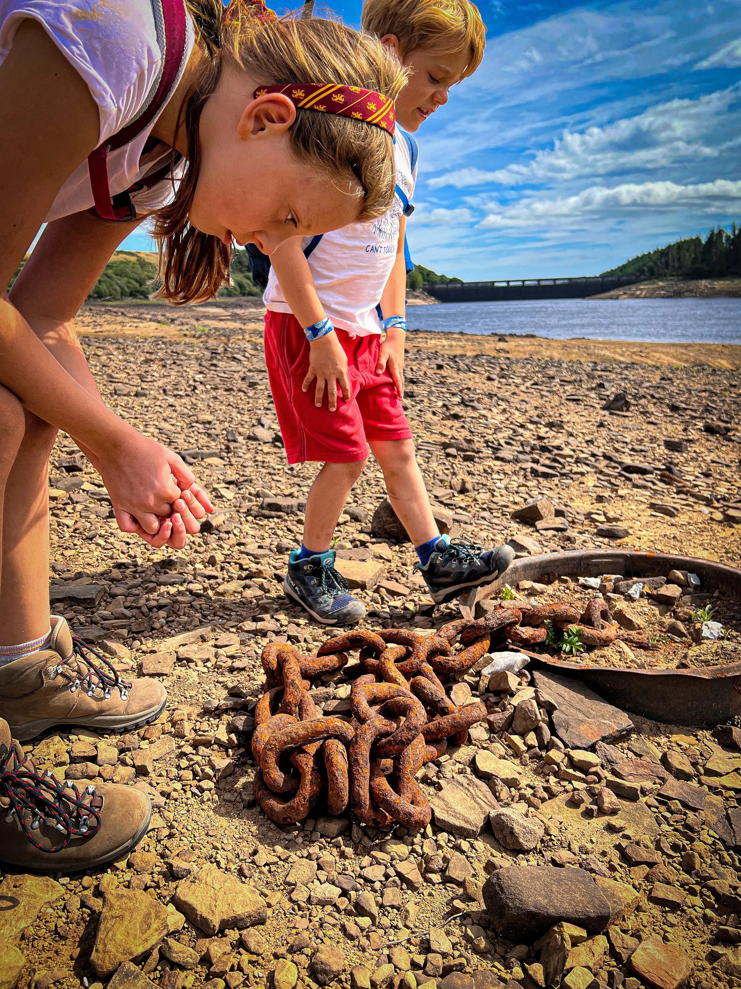
Examining an old chain that would normally be found underwater. Drought 2022.

The path that leads away from the ruins of the flax mill to the road.

This waterfall emerges from the water in drought.
Drought 2025
This is one of the old roadways, that leads down to the bridge. The 2025 drought did not reveal the bridge. That hasn’t been seen since the 1990’s.

The cool rocks at the furthest point of the walk.

What’s cool for kids at Thruscross Reservoir?
✨ As you can see from the shots, we paid a visit to Thruscross in the Summer droughts of 2022 and 2025. In drought, the remains of the submerged village of Thruscross emerge from the depths of the water and are actually pretty cool to spot! The village dates back to the 1700’s and only the West End of it remains (as the now called village of West End!) When we were there, the ruins of old buildings were high and dry. (don’t venture into thick exposed mud as you can become stuck - and that is NOT ideal)
👻 Which leads me neatly onto the ghost story associated with the reservoir. It is said that the reservoir is haunted by ghostly cries that rise from the ruins of the old workhouse of West End. No idea if there was in fact ever a workhouse in West End, but I am a sucker for a good ghost story! Perhaps it’s the cries of the residents who were forced to leave their homes back in the 1960s for the construction of the reservoir. Read more Yorkshire Dales Ghost Stories over on the blog.
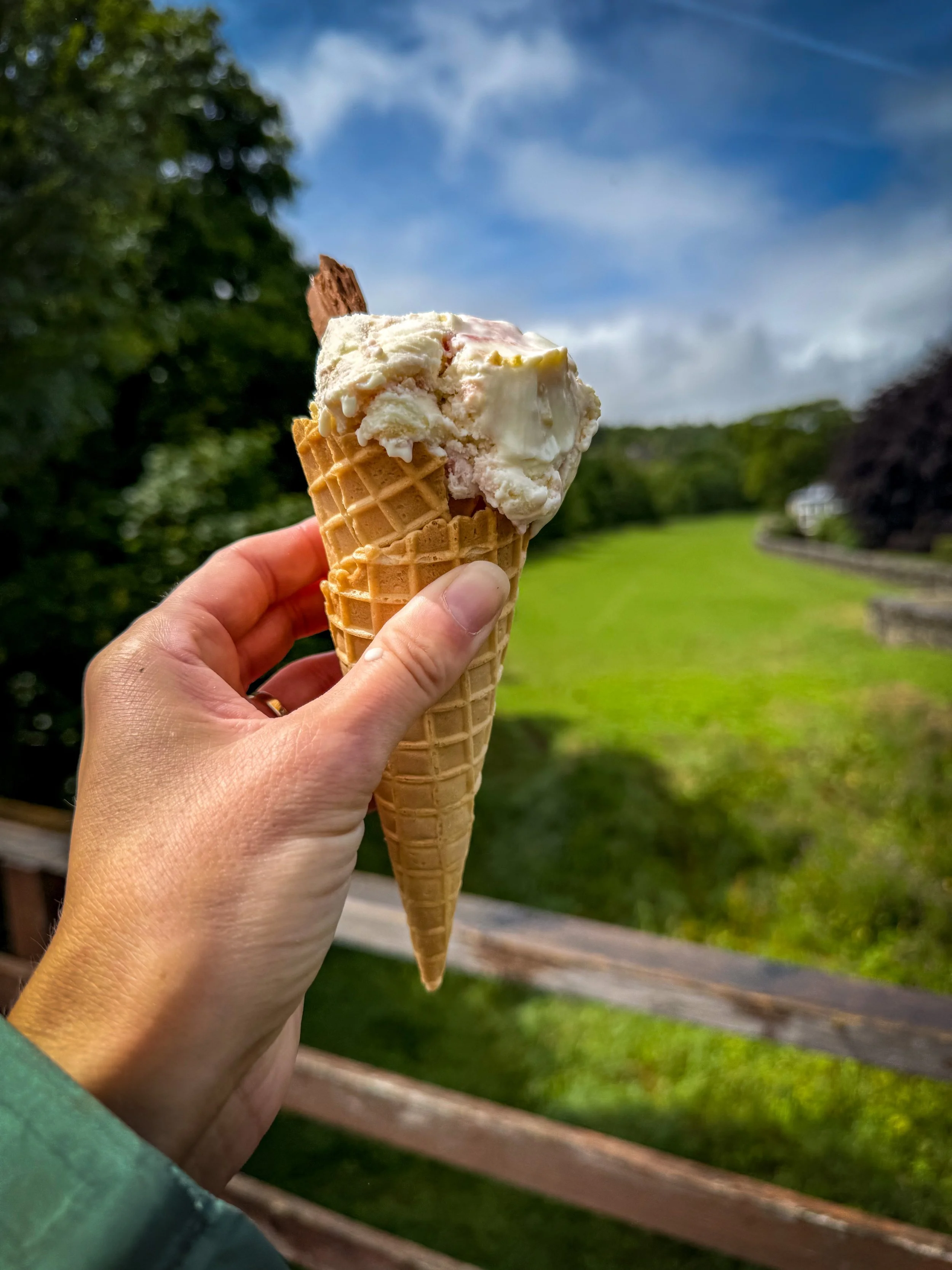
🍧 Thruscross is almost perfectly placed in the middle of Pateley Bridge, Otley and Ilkley! Head there for your nearest ice cream spots!
🧺 There are picnic benches on the eastern side of the reservoir
🌳 In need of some motivational walking games? Head to our walking games page! This is also a great walk for a stick collector! Check out our nature collector activities page!
Helpful Information!
For more helpful information head to our safety tips and advice page.
⭐ We hope you enjoy our walks, but please exercise common sense as routes can change with the weather conditions and seasons! These walks are intended as a guide only and are undertaken at your own risk. The routes have been walked by our own two feet, but you know your own limits. If in doubt, turn back. Always take a back-up map, don’t rely on GPS or your phone alone, wear appropriate clothing for the weather and take adequate snacks and refreshments with you (although as a parent, I know you already know that bit!)
⭐ Leave no trace! Take nothing away and leave nothing behind, take all rubbish home with you.
⭐ Do not swim in reservoirs. If the photos tell you anything, it’s the amount of leftover rusting metal that you can find beneath the surface! There is also machinery, mud and the water in a reservoir will rarely warm up due to the depth and expanse of the water.
Staying in the Pateley Bridge area?
We have a Visit with Kids guide to provide you with all the family friendly inspiration you need! Think family friendly walks, local attractions and importantly, where to find the ice cream (and the play park!)
There are two guides covering this area and the nearby areas so why not check out our…
Scroll using the arrows for all our Family Friendly Walks
-
![Swimming in Janet's Foss Yorkshire Dales]()
Waterfall Walks
-
![Malham cove walk for kids]()
Pushchair Friendly
-
![Pinhaw Beacon trig point walk near Skipton]()
Peak Bagging Walks
-
![The Park at Greenhow Nidderdale]()
Walks with Play Parks
-
![Gordale Scar in Malham Yorkshire Dales]()
Organised by Location
-
![Walking in the woodland in Wensleydale]()
Woodland Walks
-
![Playing on the shore of Embsay Reservoir Yorkshire Dales]()
Reservoir Walks
-
![The ruins of Bolton Abbey]()
Bolton Abbey Estate Walks
-
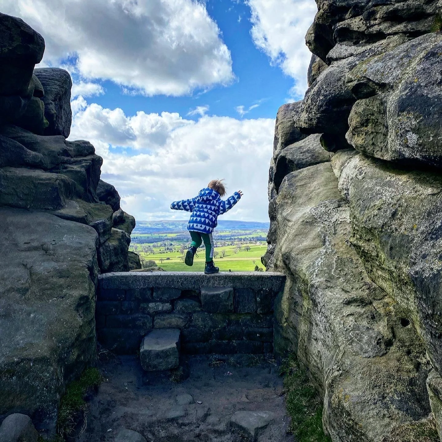
![Leaping over the stile at Almscliffe Crag]()
Walks Under 2 Miles
-
![Child walking into a pub in Appletreewick]()
Walks with Pubs and Cafes


Follow us for up to date Outdoors Adventures!
We live and BREATHE the Yorkshire Dales outdoors life!
BEEN INSPIRED? Tag us @reluctantexplorers
Come follow our journey over on Instagram and Facebook where you’ll find up to date walk info, breaking news on Yorkshire Events, new Yorkshire Dales wild swim spots, climbing, caves and more!


Follow us on Social Media for all the up to date info: @thereluctantexplorers

Leave No Trace
The Yorkshire Dales is our home, and the home of so many others who care deeply about this beautiful space.
Should you visit, make sure to:
Take home anything you bring, leave no rubbish behind.
Make the world a better place by picking up any rubbish you see, even if it isn’t yours.
Leave everything else as you found it.