
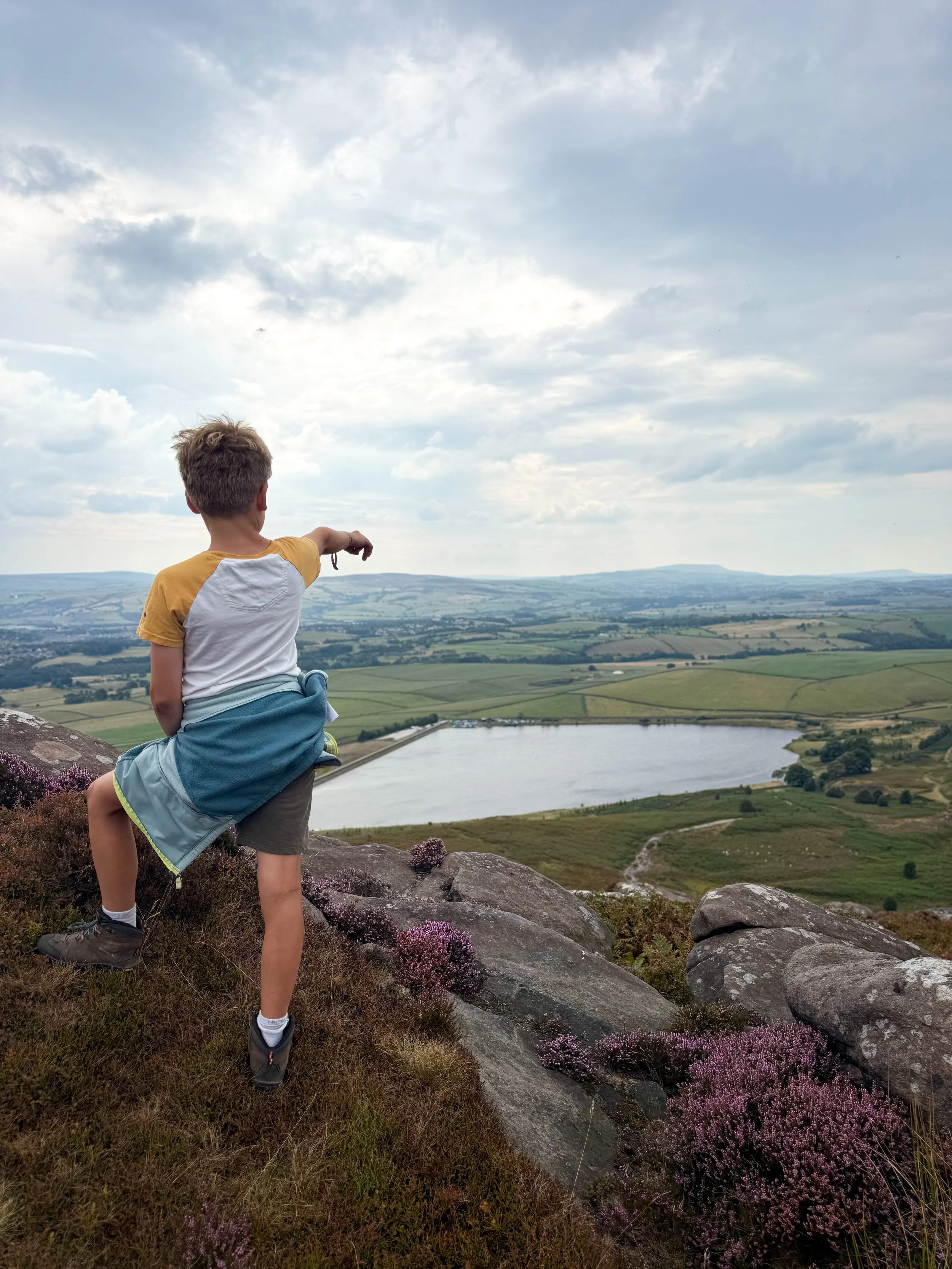
Embsay Crag and Reservoir
A climb up Embsay Crag is a short and easy little peak bagging walk, which overlooks Embsay Reservoir!
If you explore off the the path, you’ll also find the remains of the old weir, that creates a pretty little waterfall!
This route can be adapted to suit your explorer’s capabilities.
Where is Embsay Crag?
Located on the edge of the town of Skipton, the village of Embsay is the home to Embsay Reservoir. Right on the border of the Yorkshire Dales, this super easy peak is perfect for younger adventurers who want to get bagging those Yorkshire Dales hills!
The reservoir at Embsay was built back at the beginning of the 20th Century, and feeds water to Skipton, but before that, and during it’s construction, a temporary weir and reservoir was set up, just a little further up Embsay Beck. It is still there, and is a great spot to head to and explore… and picnic of course (just make sure you take home all your rubbish!)
The walk starts and ends at Embsay Reservoir, and if you venture into the village, you’ll also find a park!

Buy Me a Coffee
Make a Donation
Thank you for taking the time to have a look at my website and for reading this now!
I set up the Reluctant Explorers and maintain the website and attached social media accounts in my spare time, around mum-life and two jobs. It was designed to provide access for parents to free resources to help get more families outside and exploring in nature. These walks have all been created by myself and the kids and we have walked each one ourselves (and re-walk them regularly to keep the information as up to date as we can).
If you would like to support us and can afford a few pennies, you can make a donation to our ‘Buy Me a Coffee’ page. Simply tap the button below to head there!

The old reservoir
What are the walk details for Embsay Crag?
Distance: 2-3 miles
Terrain: Easy to spot paths, some minor rough walking to find the old weir, but otherwise, this is an easy to navigate walk. That said, a map is recommended. Ascent is 750 feet.
Parking: At Embsay reservoir, there is a small car park.
Public Transport: Buses run to Main Street in Embsay, but that will add an additional 2 miles onto the walk. Check out the Dales Bus website for more information.
Location: Embsay, near Skipton
Map: OS OLO2 Yorkshire Dales Southern and Western
What 3 Words: fend.outfitter.boomer (car park)
Toilets/ Baby Change: No
Are dogs allowed? Dogs are not allowed on Barden Moor, they are allowed around the reservoir.
Nearest Cafe/ Amenities: Embsay

The path near the summit surrounded by stunning heather in mid-summer (and rain - also typical of midsummer!)
Walk directions for Embsay Crag
Walk instructions to be used alongside a map.
Starting from Embsay Reservoir Car Park, head towards the walled track running to the left of the sailing club and follow it, keeping the reservoir to your right. There is a path that heads through a gate to the top end of the reservoir - this will take you around the water, so ignore that one. Head through another gateway on the same track you’ve been following since the sailing club. You will see a sign on the right to Embsay Kirk and Embsay Crag and an information board relating to the Barden Moor Access Land there. Cross the stile and follow the path, the reservoir will be to your right, beyond a fence.
After about 200m, the path forks. The left will take you to the old reservoir, which is pretty cool to explore. From there, there are two options. There is a smaller path running alongside the beck or you can head back to the main path you started on and continue the climb to the crag from there. To find the path which follows the beck, simply retrace your steps to the weir a little and then follow it as it climbs the bank, keeping the beck to your right. The path meets the beck, where you can easily step across. The path continues upwards until it meets the main wide track up the crag.
If you choose to head back to the main path, continue straight on along the right hand fork. The path heads towards the perimeter wall of the main reservoir, and follows it. You will cross a bridge over the beck. After this, bear left following the path as it meanders and reaches another fork. Here, keep left on the main path. After around 500m, there is another fork. The right takes you up to the summit, but it is a more scrambly and steep route. The left, bends round to the left, before bending right, taking you to the summit. Less direct, but better for younger explorers!
Once you’ve enjoyed the summit views, if you have younger explorers, you can simply turn back the way you came. You can head directly back to the sailing club the way you came, or after 150m or so turn left through the gate in the wall and return to the car park via the edge of the reservoir. The reservoir return adds less than 1km to the total walk route. For older explorers, there is a more scrambly route back down, but this is steeper. Both are pretty easy to spot!
Last walked August 2026.
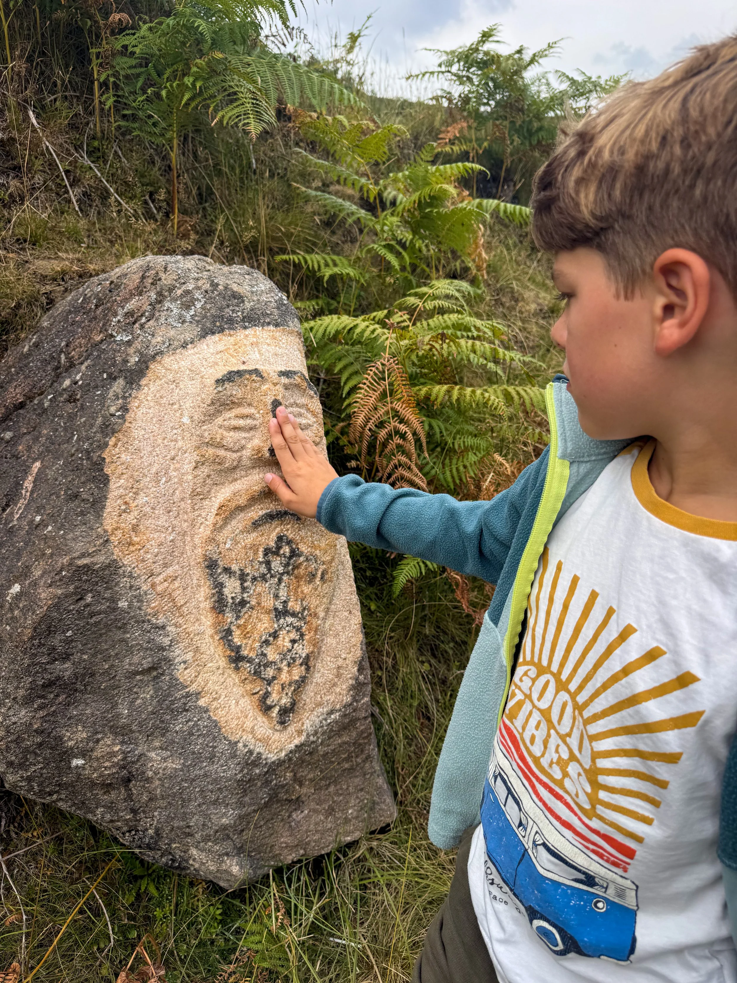
A stone carved face has appeared next to the old reservoir
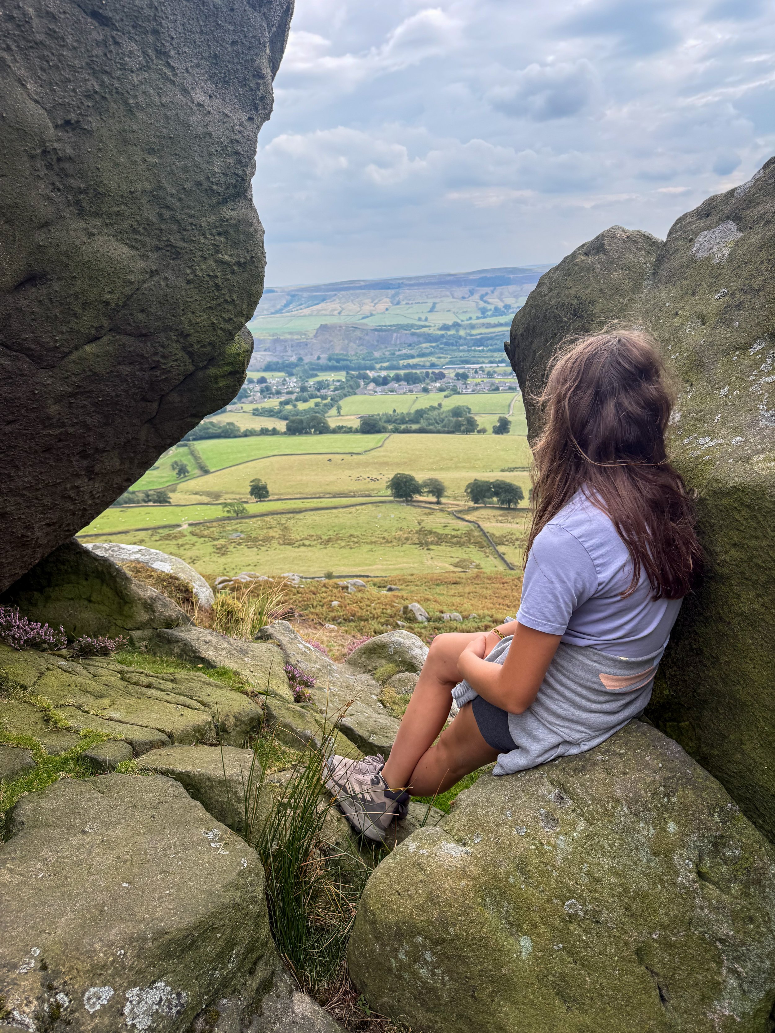
The view from the more scrambly route down
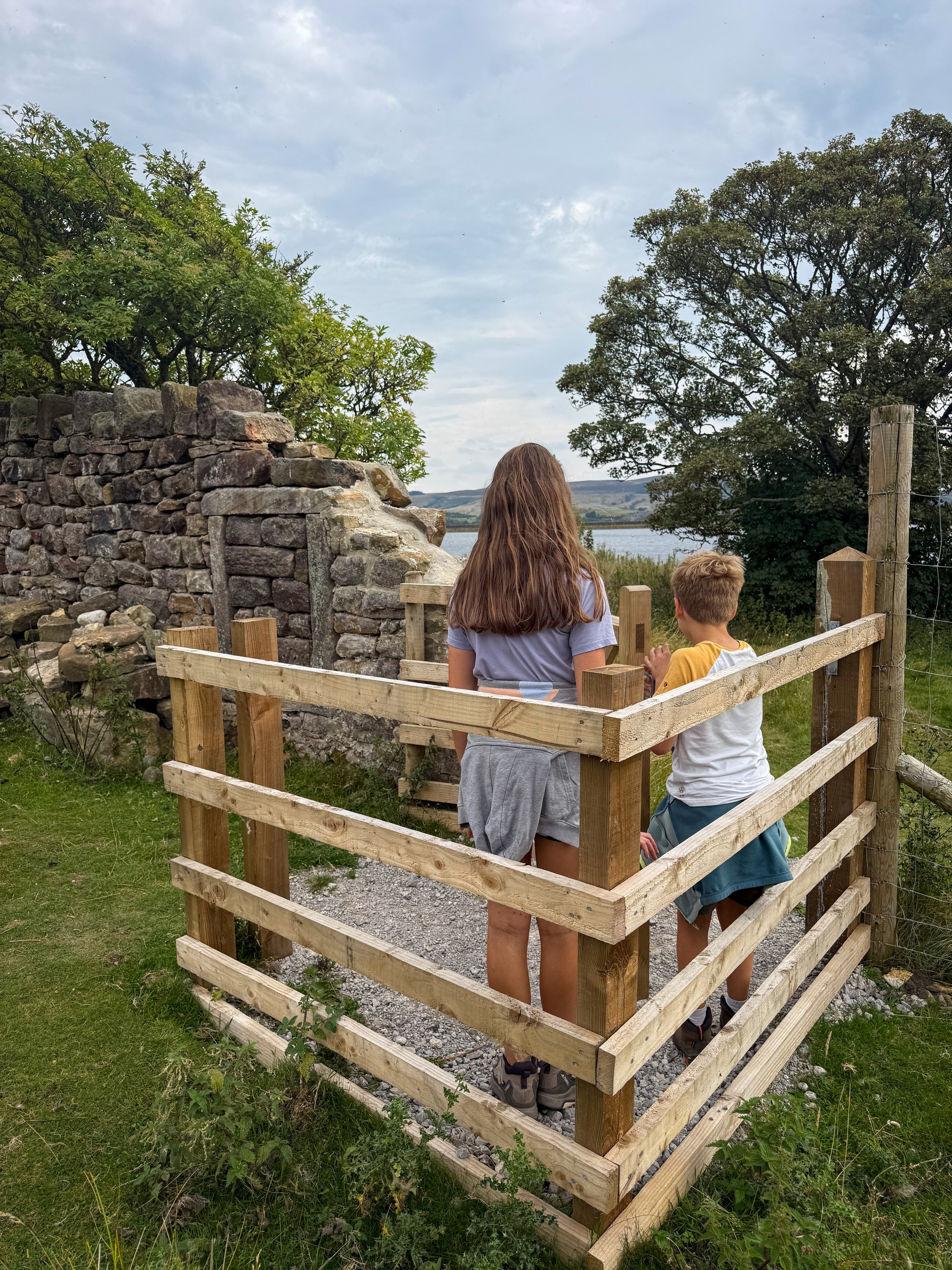
The new kissing gate to make easier access between the crag path and the reservoir route
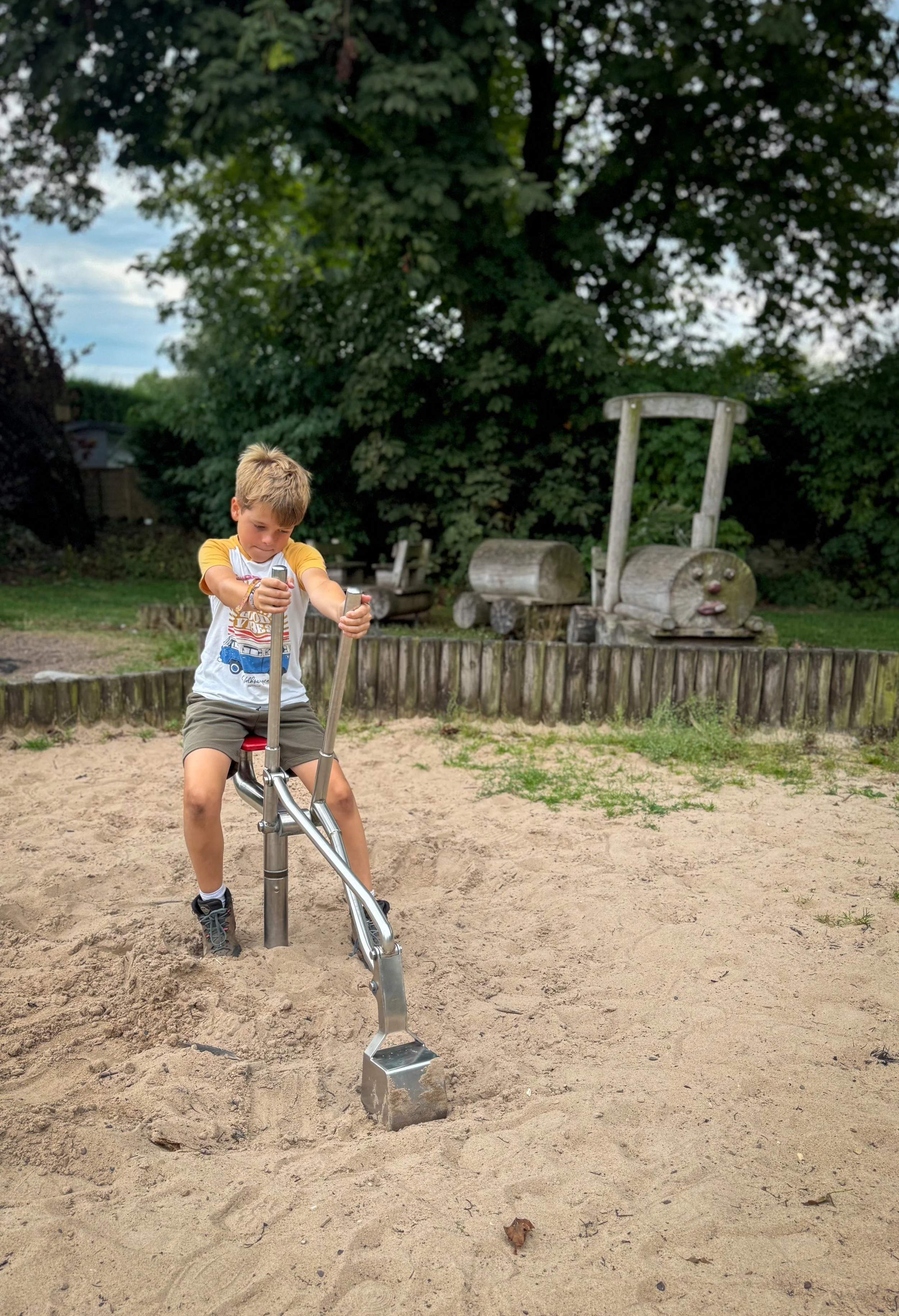
What’s Cool for Kids on this walk?
🦋 Parts of the area around Embsay Reservoir are nature reserve so make sure you go and explore! Why not go on a bug hunt?!
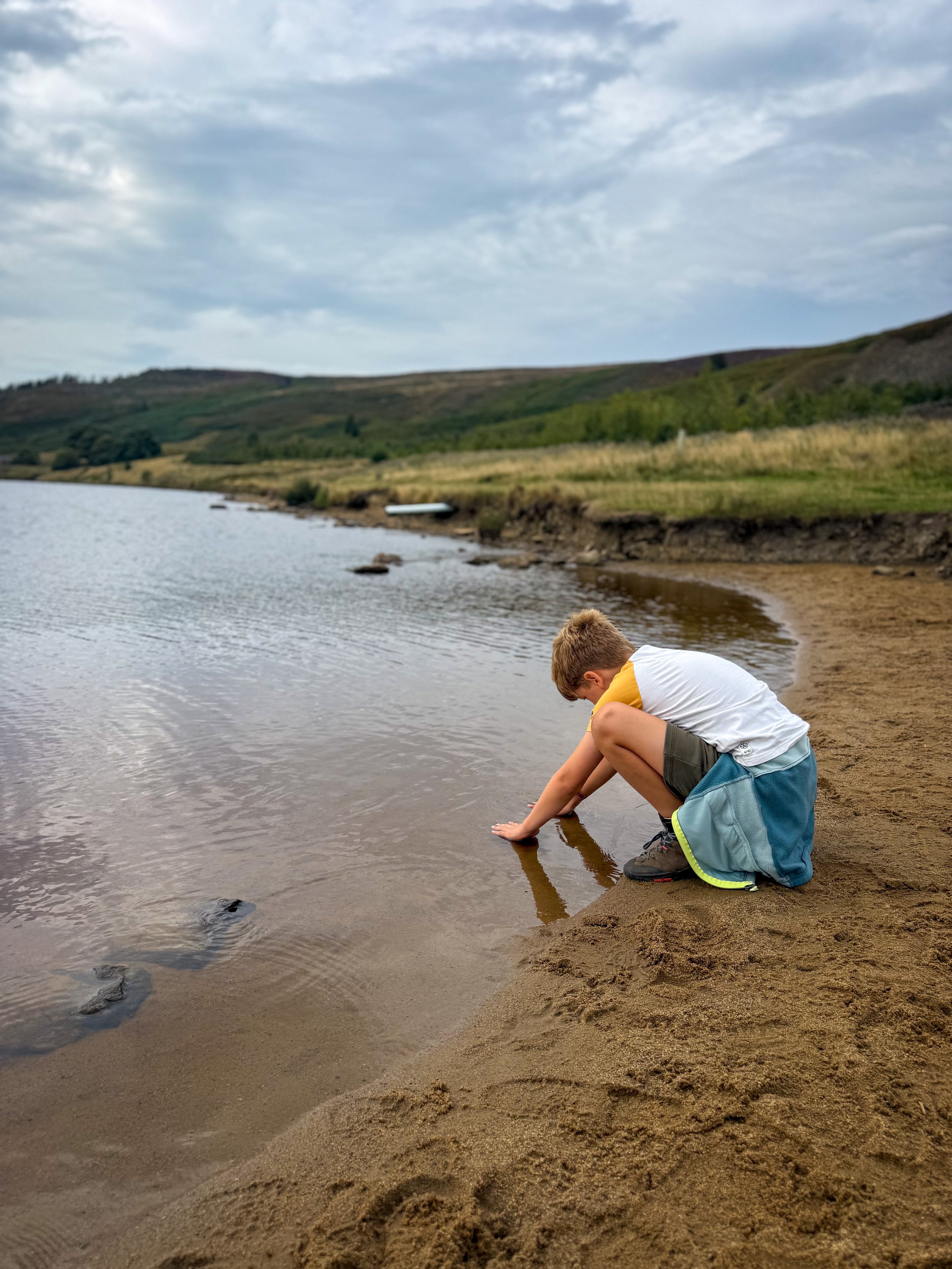
💦 You aren’t allowed to swim or paddle in the reservoir, but you can near the weir! Just be mindful of the water depths and always supervise children around water!
🥪 Pack up a picnic, there are plenty of picnic spots around the reservoir and in dryer weather you can play around the edge of the water.
🧒 Head down to the park in the village! You can find it on main street.
🌳 Need something to beat the walking whinges? Then check out our walking games and scavenger hunt sheets.
Helpful Information!
For all of our helpful information and safety advice head to the dedicated page.
⭐ We hope you enjoy our walks, but please exercise common sense as routes can change with the weather conditions and seasons! The routes have been walked by our own two feet, but you know your own limits. Always take a back-up map, don’t rely on GPS alone, wear appropriate clothing for the weather and take adequate snacks and refreshments with you (although as a parent, I know you already know that bit!)
⭐ Leave no trace! Take nothing away and leave nothing behind, take all rubbish home with you.
⭐ If you choose to paddle, be aware of bio security. Always wear clean dry water shoes (if worn) to avoid cross contamination of species between watercourses, this is a particular issue in the Yorkshire Dales, to help protect the white clawed crayfish.
⭐ If you decide to paddle, be aware that wild water can be dangerous, and water levels will vary season to season. Always supervise children around water. Check out the safety information on the Royal Life Saving Society website.
⭐ There is no swimming allowed in Embsay reservoir as the water is used by the sailing club.
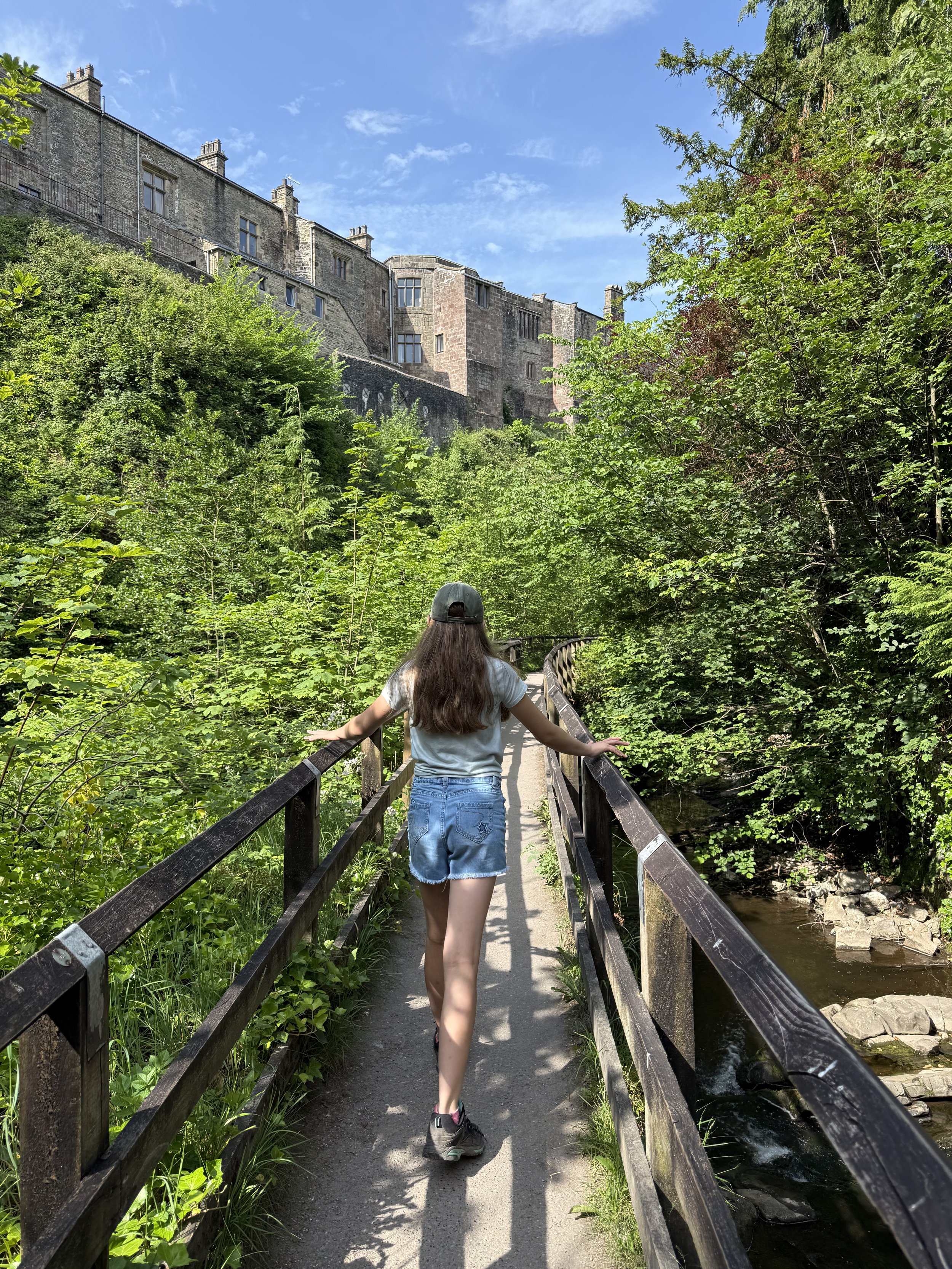
Staying in the Skipton area?
We have a Visit with Kids guide to provide you with all the family friendly inspiration you need! Think family friendly walks, local attractions and importantly, where to find the ice cream (and the play park!)
There are three guides covering this area and the nearby areas so why not check out our…
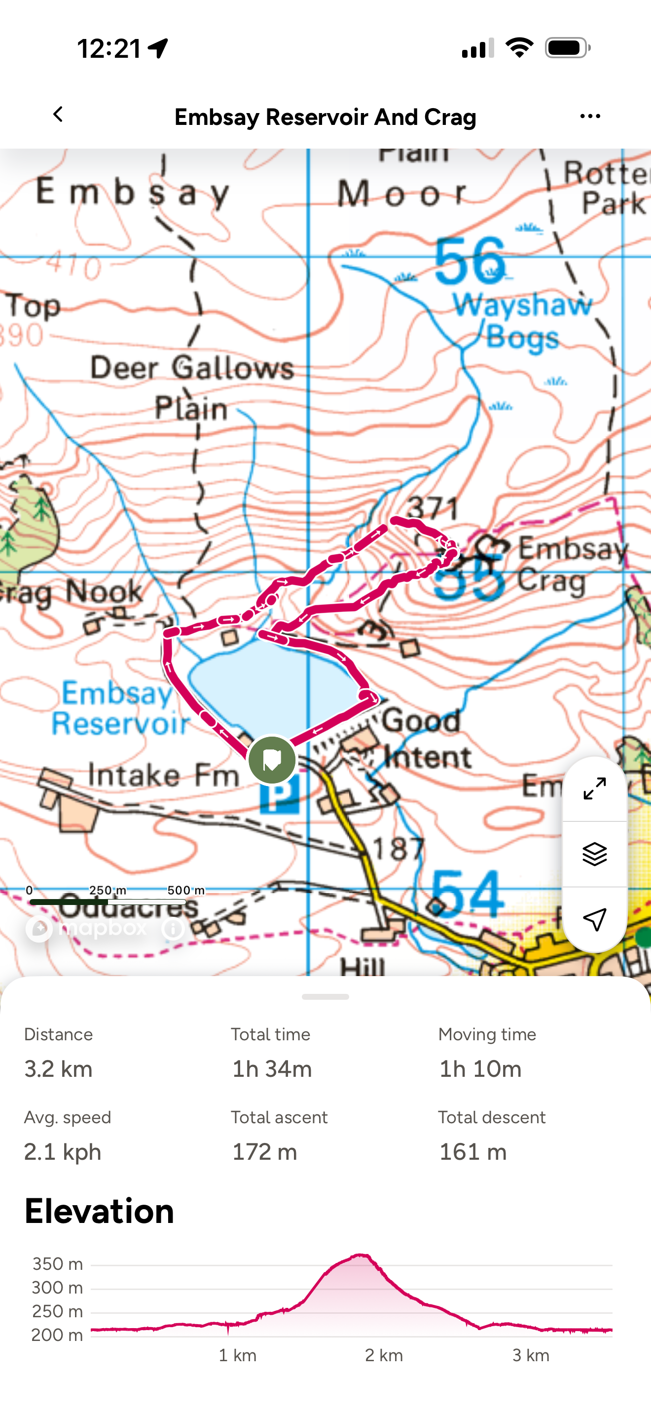
Want to grab the route?
This walk can be found on an Ordnance Survey OL02 Explorer map for the South and Western part of the Dales.
If you use the Ordnance Survey app, our route can be found here!
Image is Copyright of Ordnance Survey
Scroll using the arrows for all our Family Friendly Walks
-
![Swimming in Janet's Foss Yorkshire Dales]()
Waterfall Walks
-
![Malham cove walk for kids]()
Pushchair Friendly
-
![Pinhaw Beacon trig point walk near Skipton]()
Peak Bagging Walks
-
![The Park at Greenhow Nidderdale]()
Walks with Play Parks
-
![Gordale Scar in Malham Yorkshire Dales]()
Organised by Location
-
![Walking in the woodland in Wensleydale]()
Woodland Walks
-
![Playing on the shore of Embsay Reservoir Yorkshire Dales]()
Reservoir Walks
-
![The ruins of Bolton Abbey]()
Bolton Abbey Estate Walks
-
![Leaping over the stile at Almscliffe Crag]()
Walks Under 2 Miles
-
![Child walking into a pub in Appletreewick]()
Walks with Pubs and Cafes





Follow us for up to date Outdoors Adventures!
We live and BREATHE the Yorkshire Dales outdoors life!
BEEN INSPIRED? Tag us @reluctantexplorers
Come follow our journey over on Instagram and Facebook where you’ll find up to date walk info, breaking news on Yorkshire Events, new Yorkshire Dales wild swim spots, climbing, caves and more!


Follow us on Social Media for all the up to date info: @thereluctantexplorers

Leave No Trace
The Yorkshire Dales is our home, and the home of so many others who care deeply about this beautiful space.
Should you visit, make sure to:
Take home anything you bring, leave no rubbish behind.
Make the world a better place by picking up any rubbish you see, even if it isn’t yours.
Leave everything else as you found it.